I love visiting new places. I've lived in the United States for just over a year now, and one of my favourite things about this country is how vast it is and how many opportunities it presents for exploration. Canada is just slightly larger than the United States, but it's also very sparsely populated north of, say, Edmonton, so practically speaking I think one can explore much more of the States while still maintaining access to the comforts of civilization.
To that end, I try to go on at least one long road trip every year. I'm also one of those people who actually enjoy driving, even for absurdly long stretches of time; anything up to 12 hours per day on the road is fairly comfortable for me, and even beyond that I don't find long trips all that tiring. I'd much, much rather drive 12 hours in my car than take a two hour plane trip.
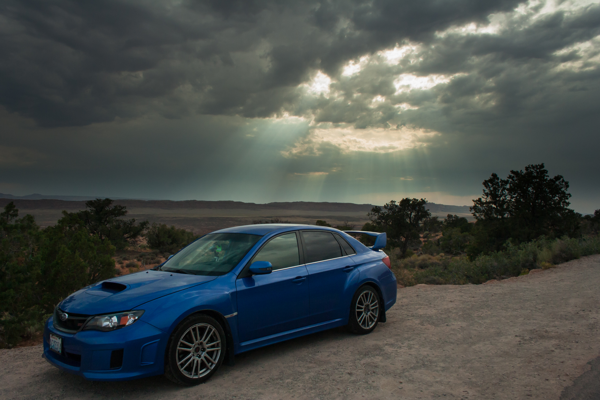
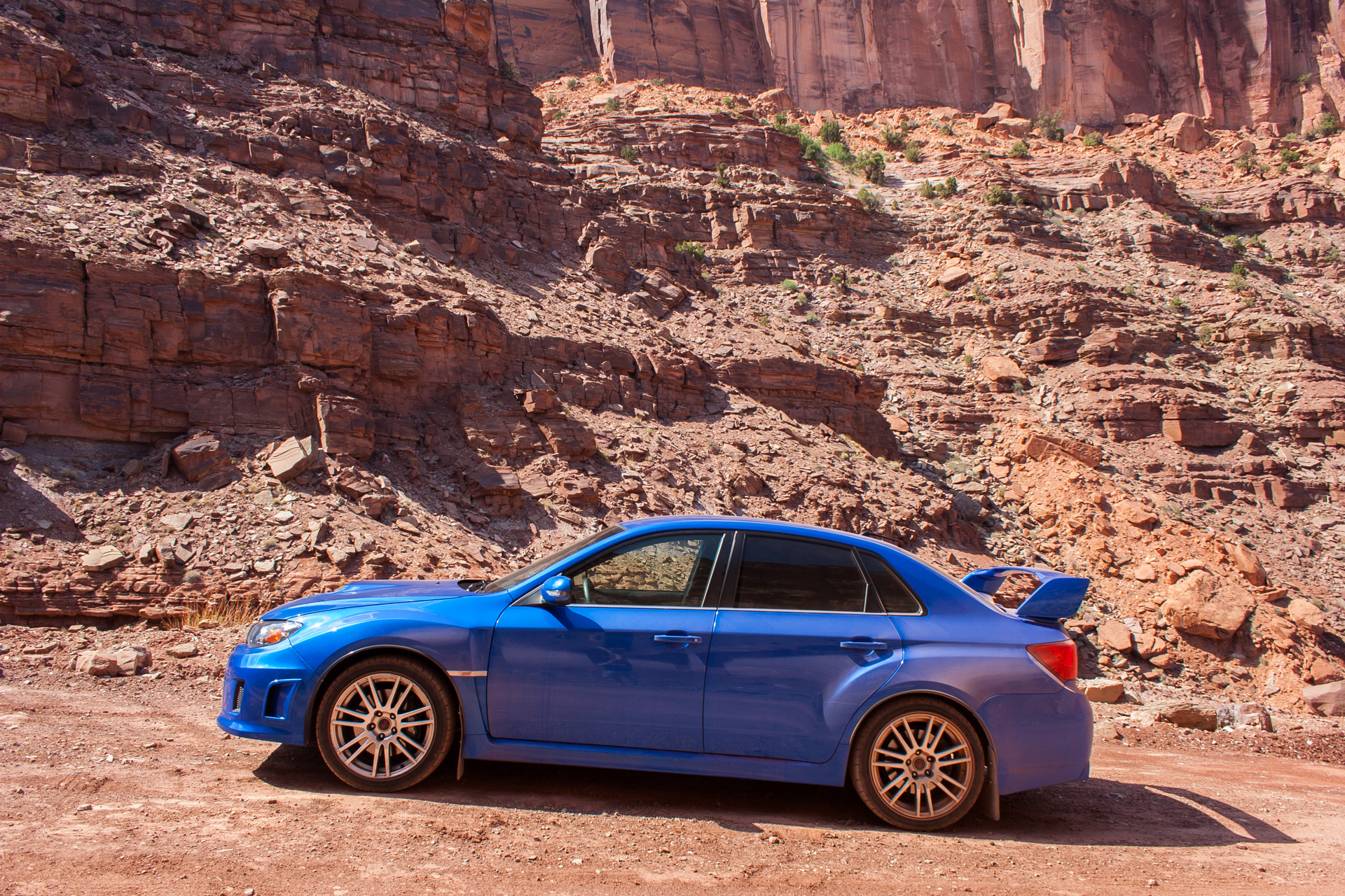
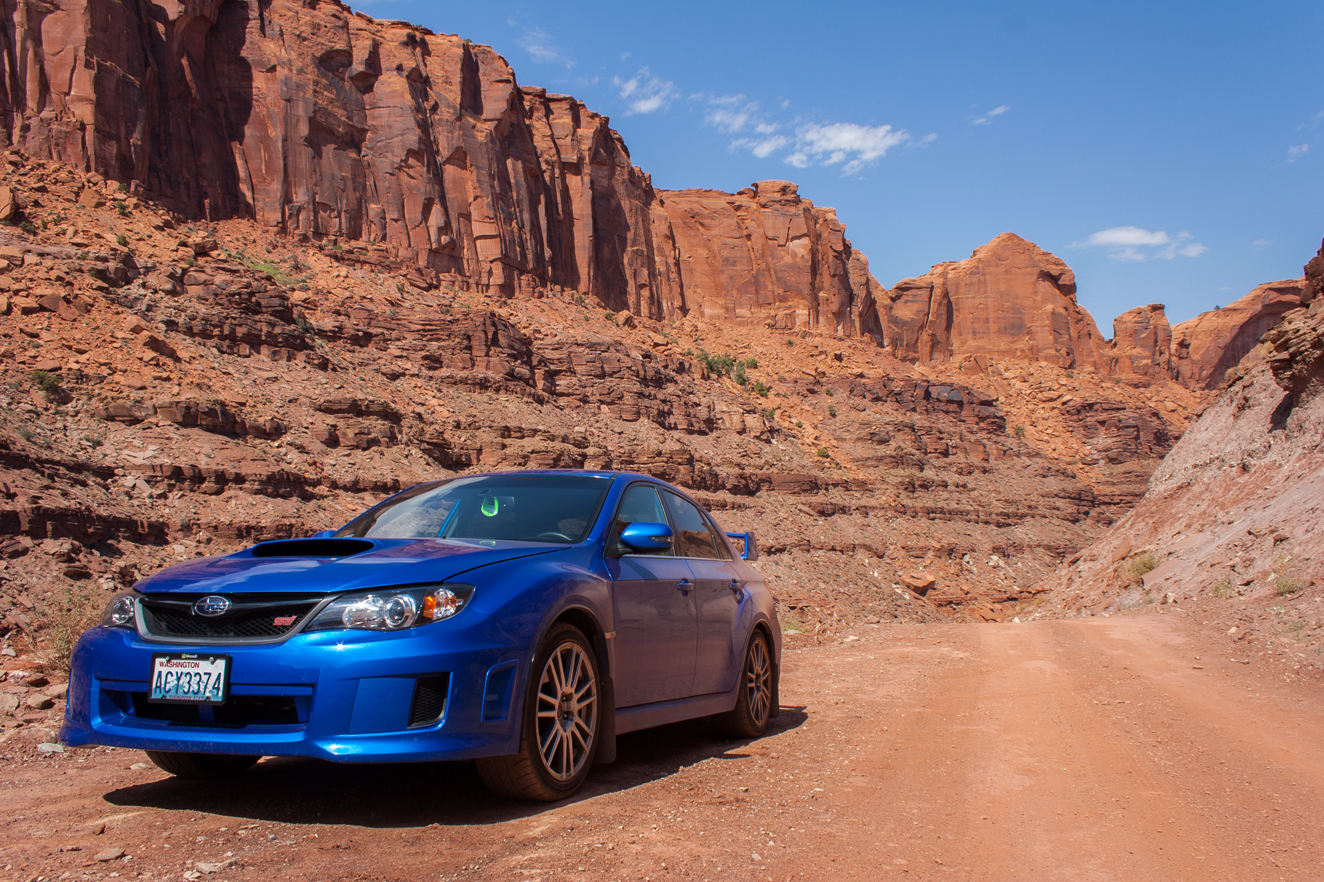
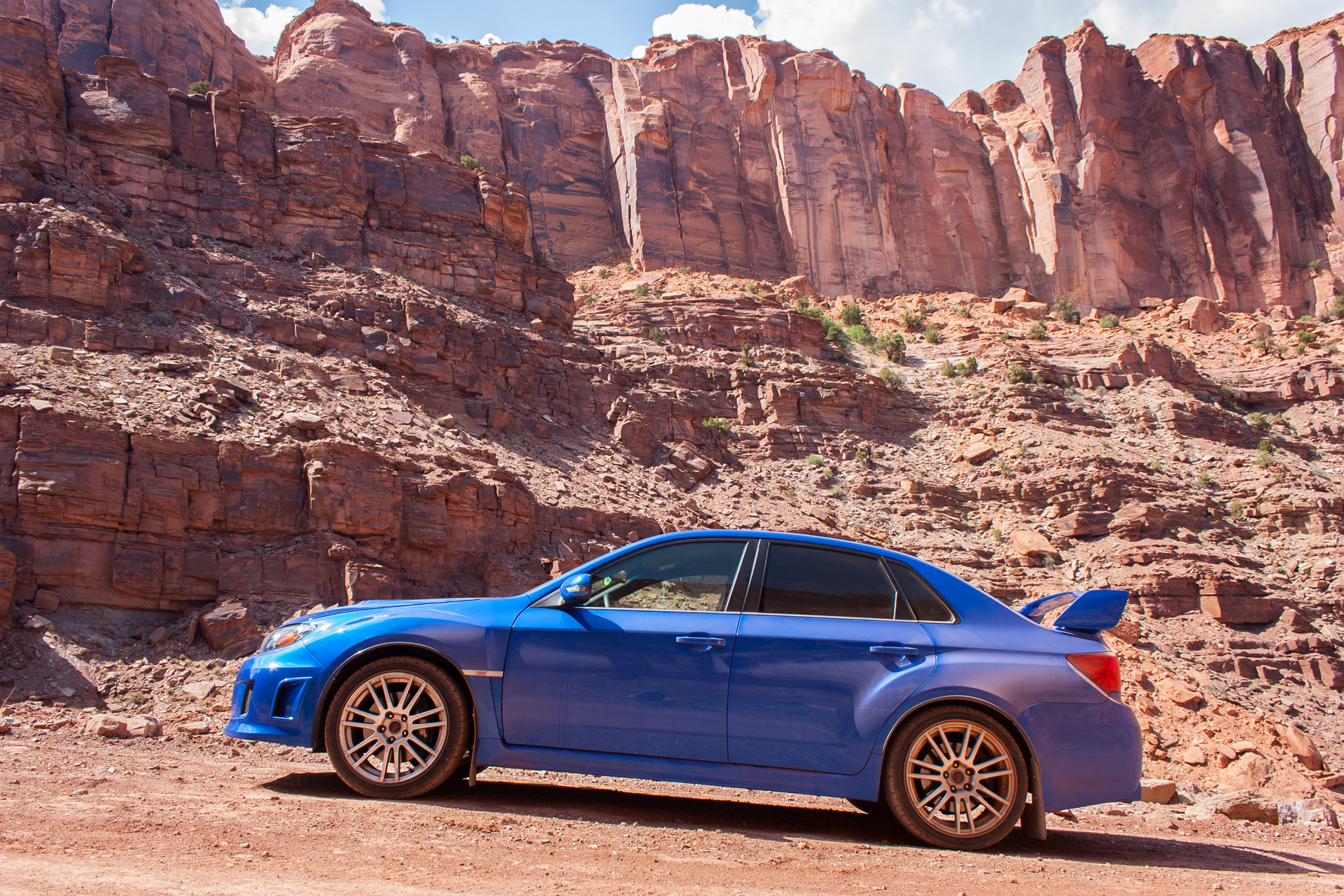
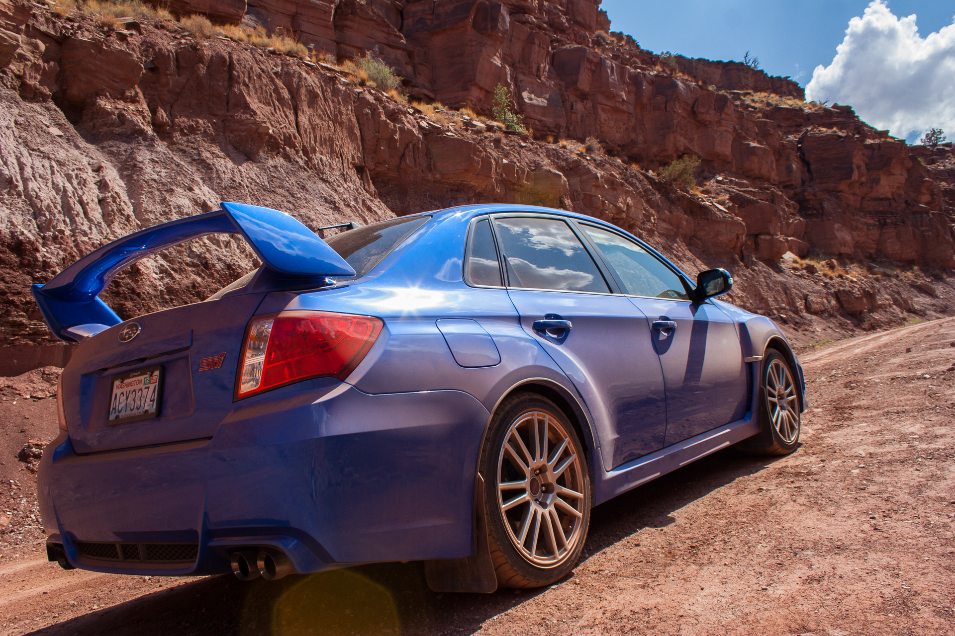
My new car was also begging to be broken in on a long road trip. Although I had a bit of a rocky start with it, all of the issues have now been sorted out (or at least as sorted out as they'll ever be), so it offered another compelling reason to take a long trip. And so it was that I booked the 5th to 12th of July off of work and embarked on a 3,378 mile (5,436km) drive from Redmond, Washington through Oregon, Idaho, and Nevada to Utah, and then back home through Arizona, Nevada, California and Oregon. Here's a map of my travels:
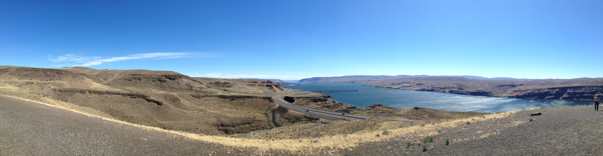
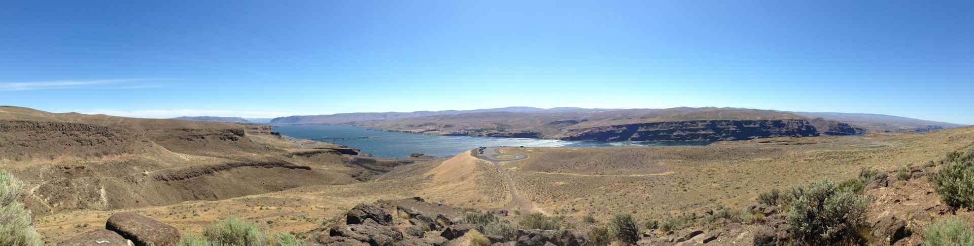
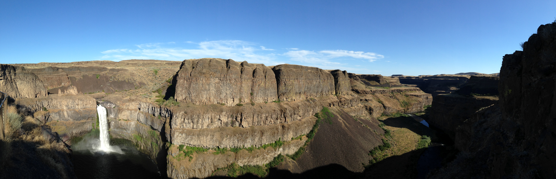
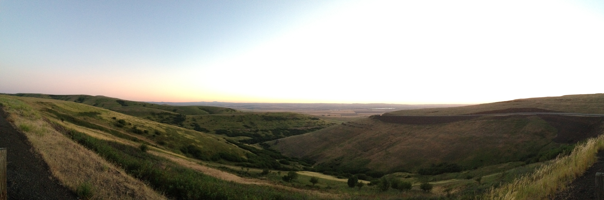
The first couple days of my trip were uneventful and consisted mostly of a lot of driving. I took the scenic route through Washington and stopped to check out the I-90 Vantage Bridge over the Columbia River near the Ginkgo State Petrified Forest, as well as Palouse Falls in the southeast. I didn't actually get off the freeway at the Petrified Forest, but from what I could see, it didn't seem to live up to its name. I didn't see any trees, or indeed any wood, petrified or not. I'm not sure how a bunch of sand and scrub grass qualify as a forest. On the bright side, the view from the rest area on the I-90 east of the river was pretty spectacular.
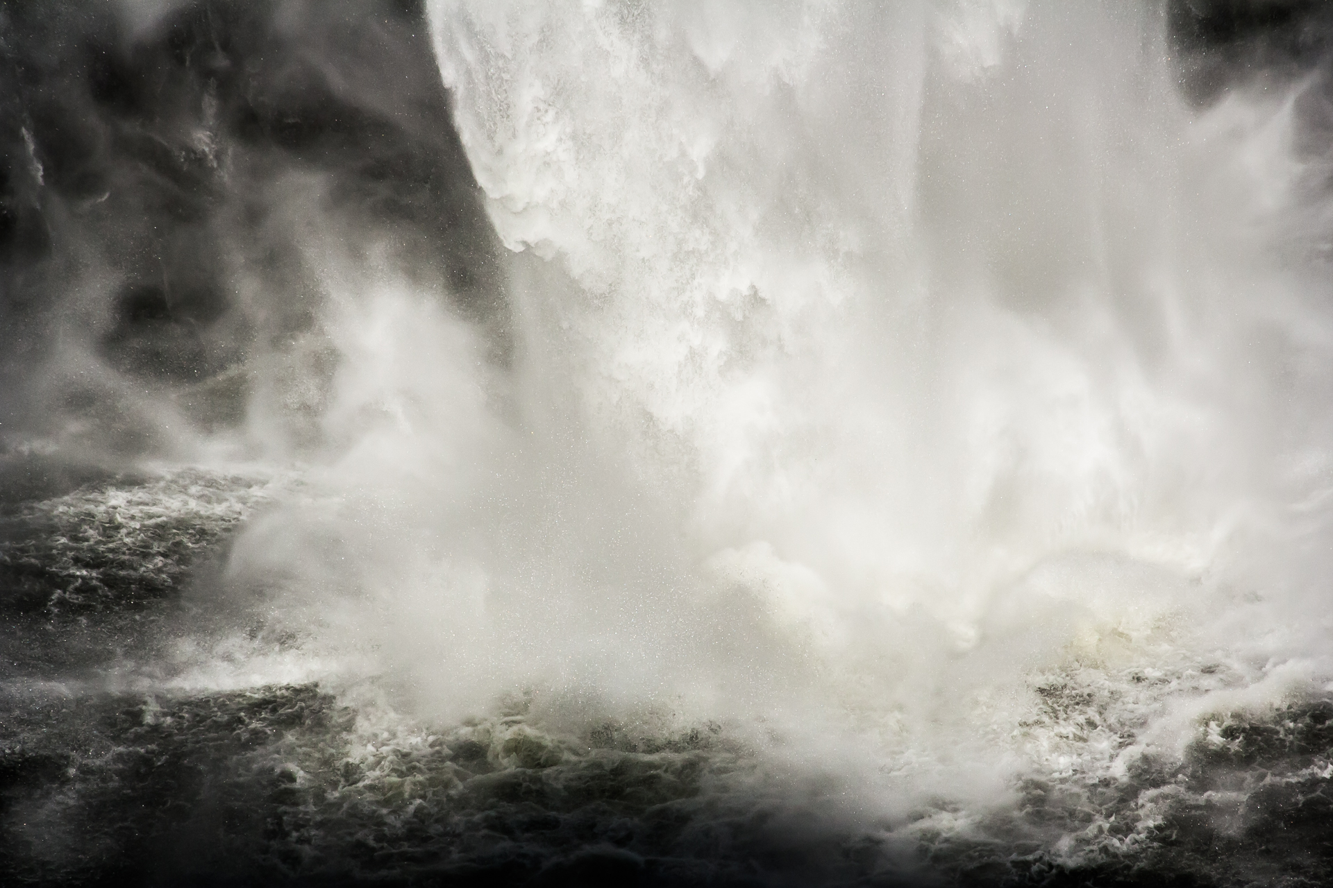
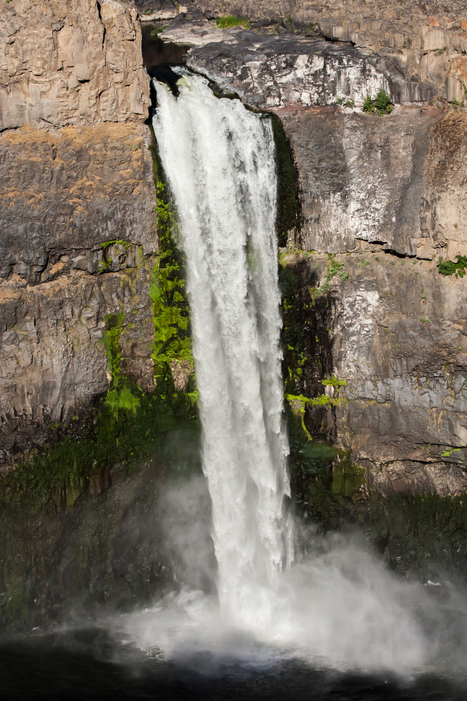
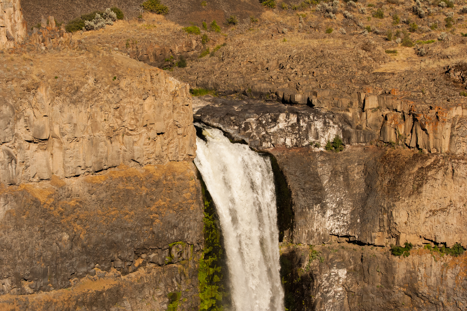
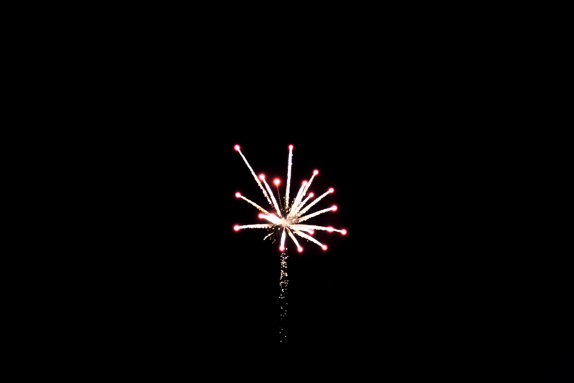
Palouse Falls was a lot more impressive. Depending on conditions, the falls are up to 200 feet (61 metres) high. Some crazy person named Tyler Bradt recently survived going over the falls in a kayak—uninjured, even! The view from the state park campground isn't ideal, but I didn't have time to find a way down to the river and back up, so I continued on to Haines, Oregon, where I caught some decent Fourth of July fireworks, and then spent the night in Ontario, Oregon.


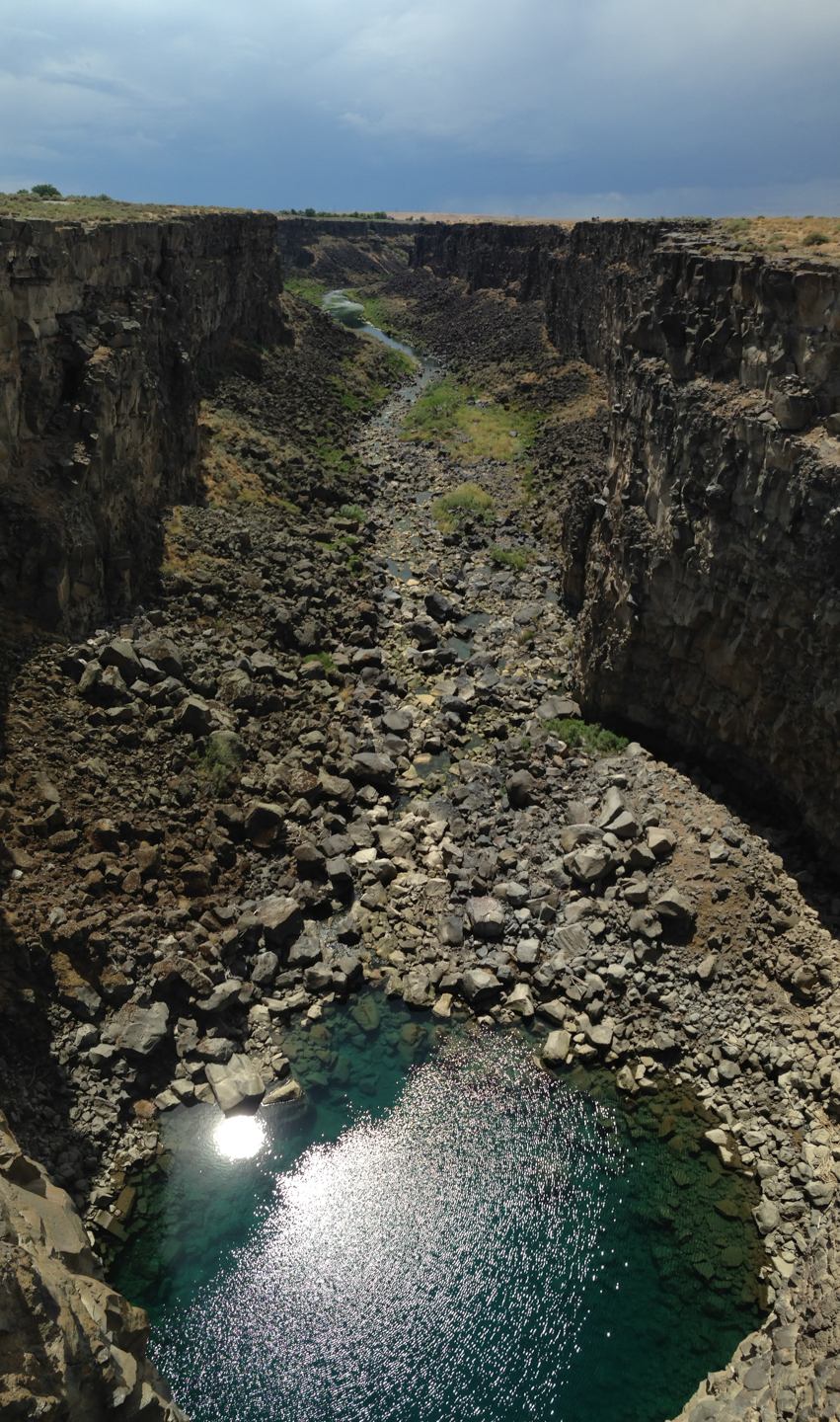
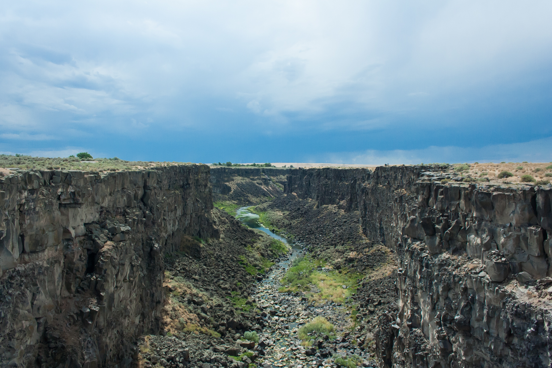
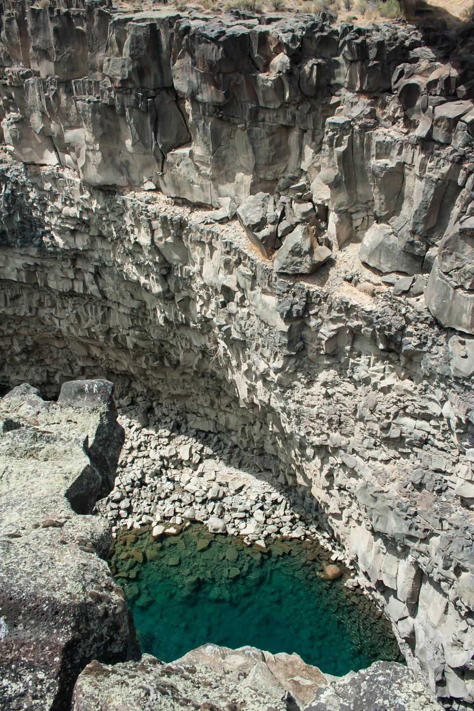
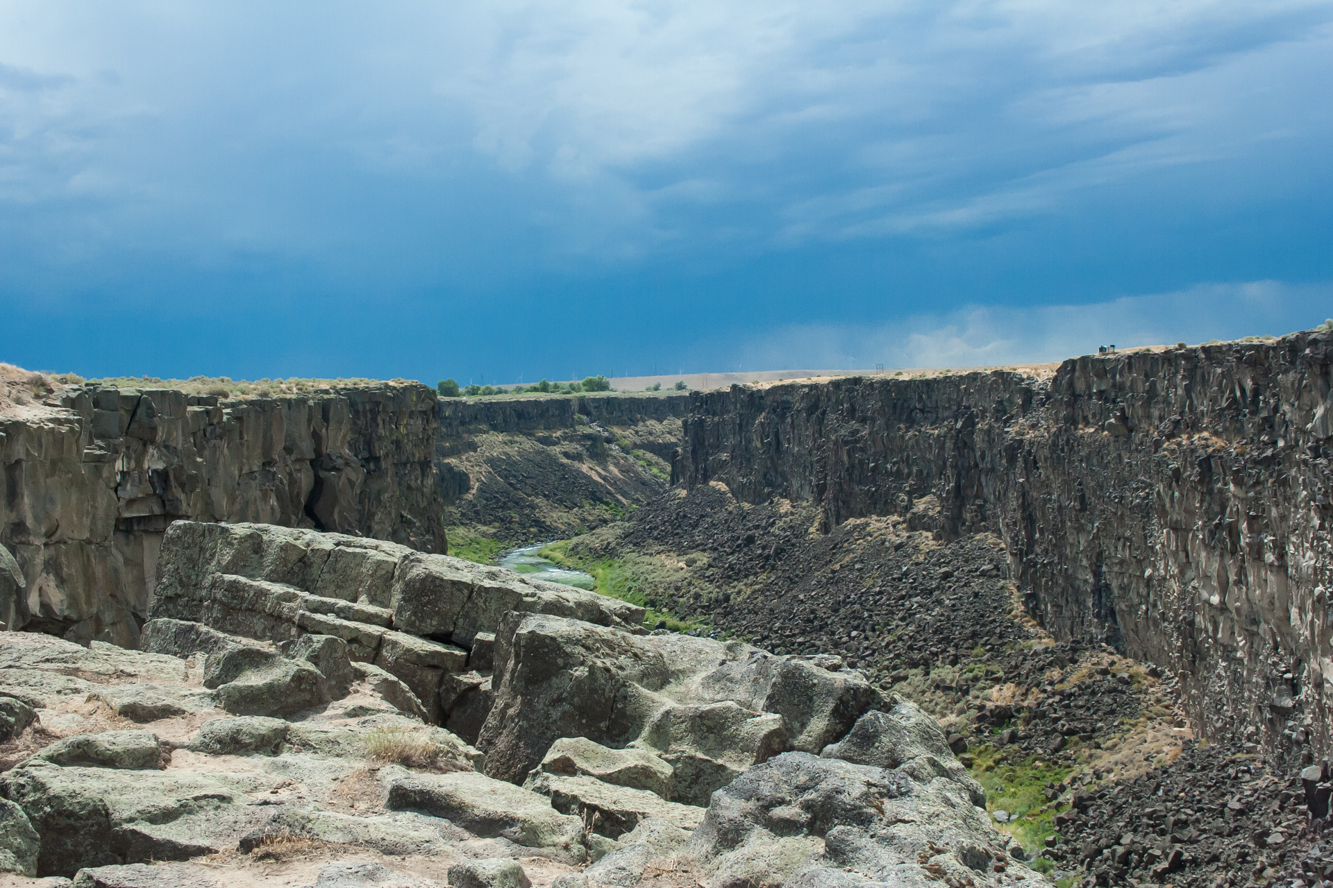
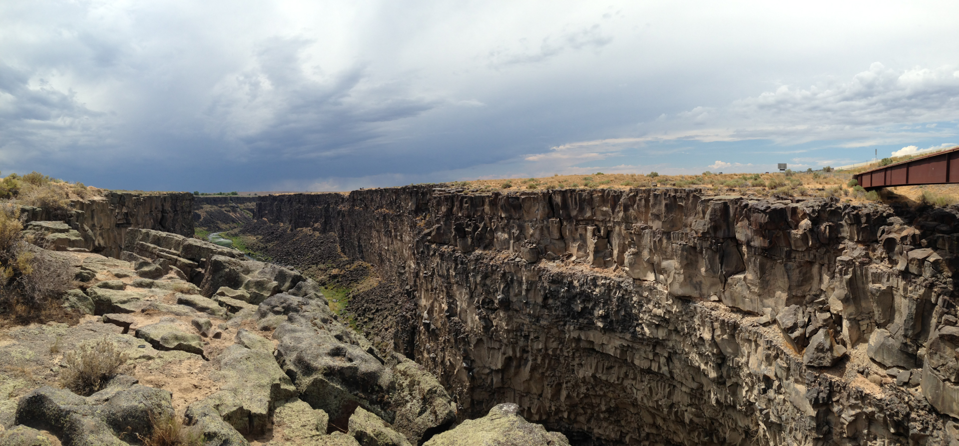
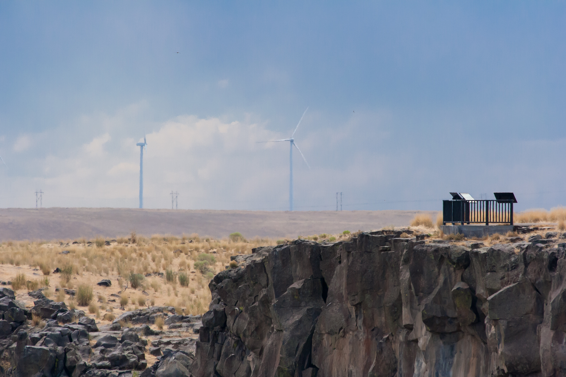
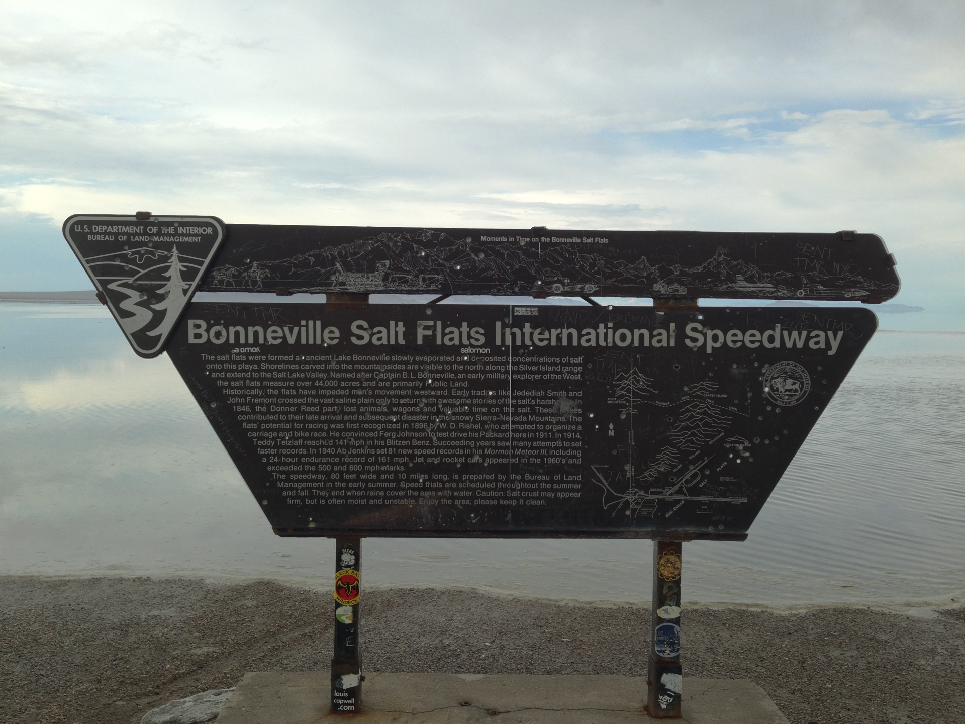
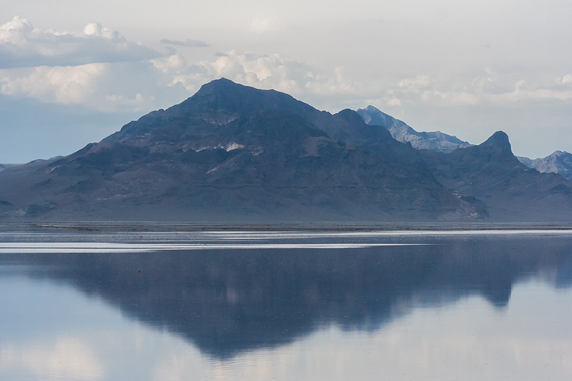
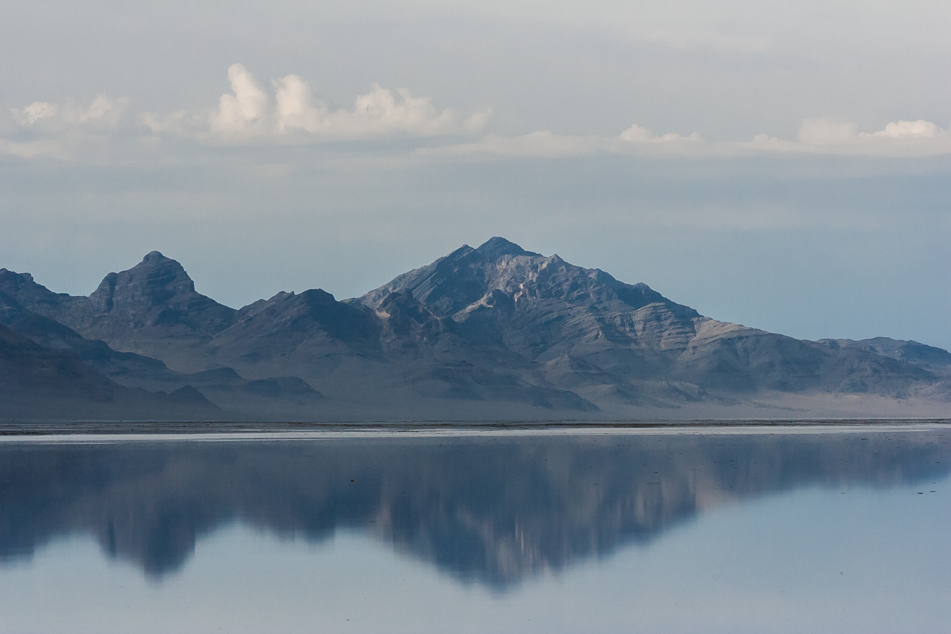
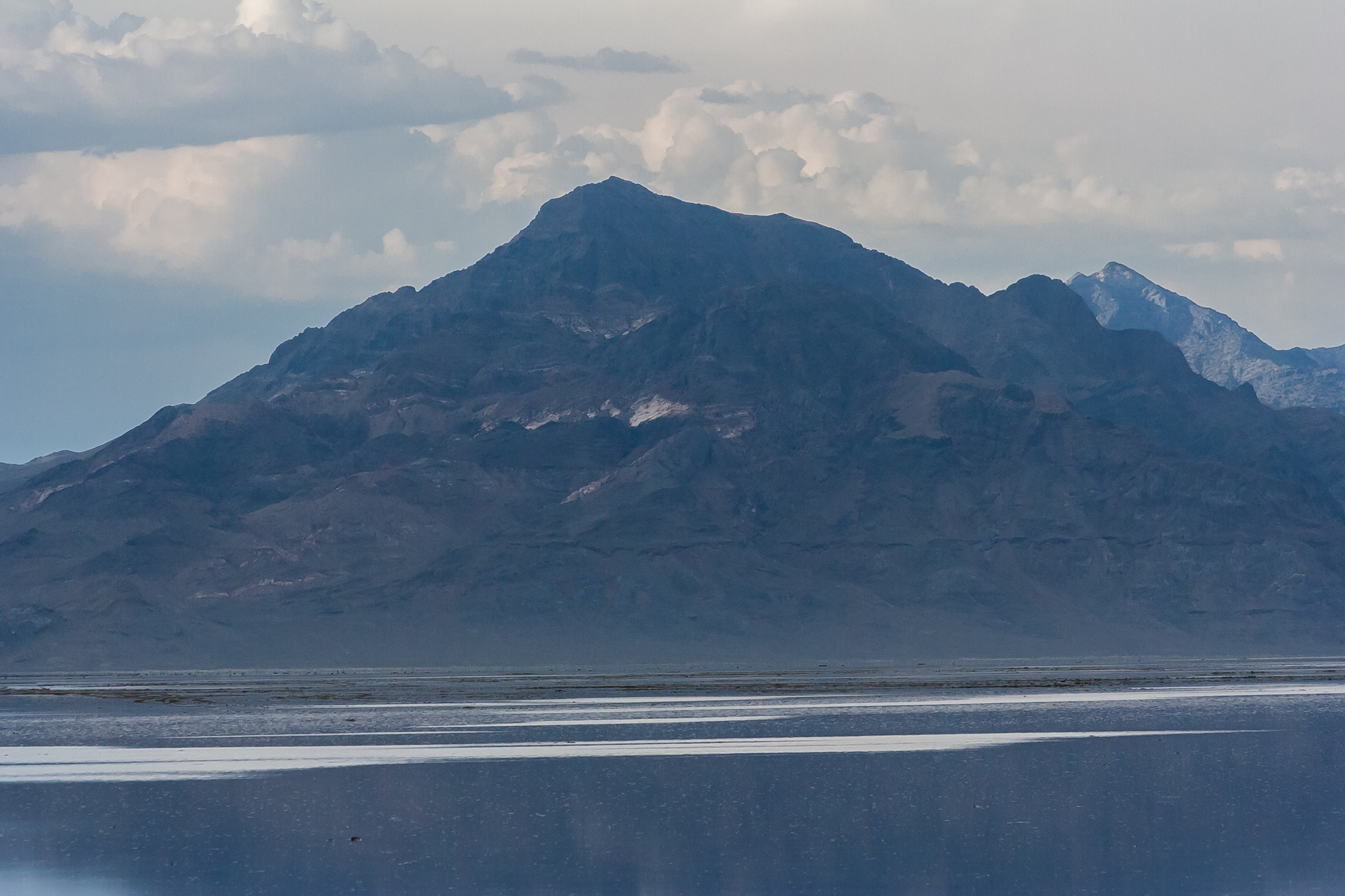
On the second day I drove through Idaho, Nevada and Utah. The tag line on Idaho's license plates is "Scenic Idaho," and while I don't doubt that it's true of some parts of the state, it's probably not referring to the southwestern bit. Other than some cool gorges, there wasn't much to see. I stopped at Malad Gorge State Park to take a few photos, and then continued on to Wendover, Utah, where the Bonneville Salt Flats are located.
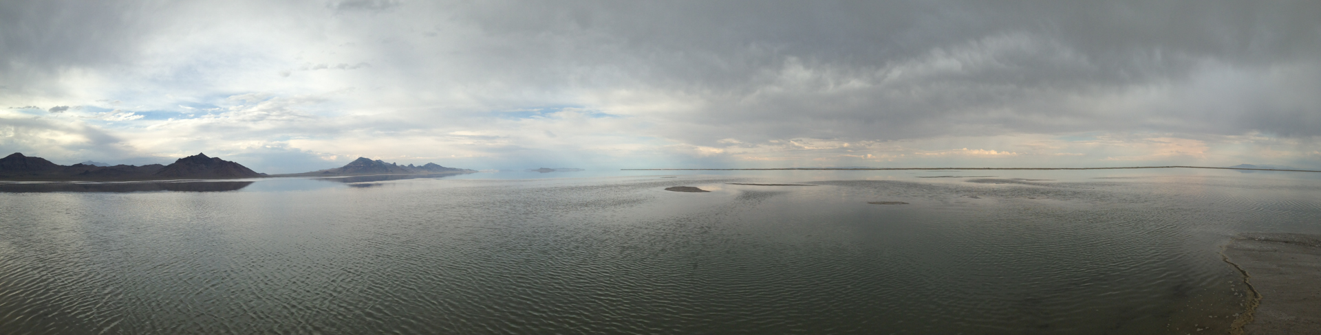
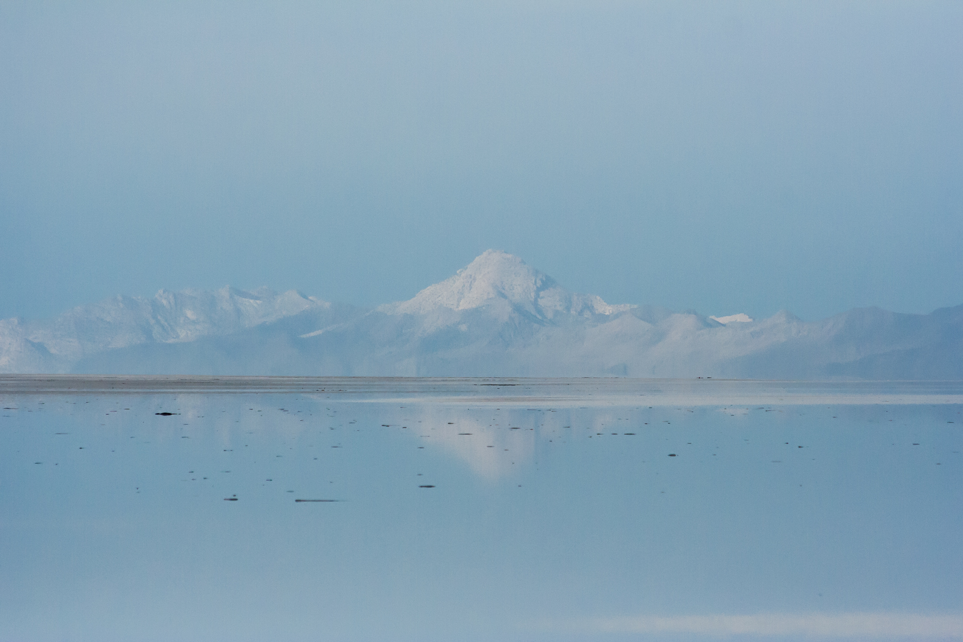
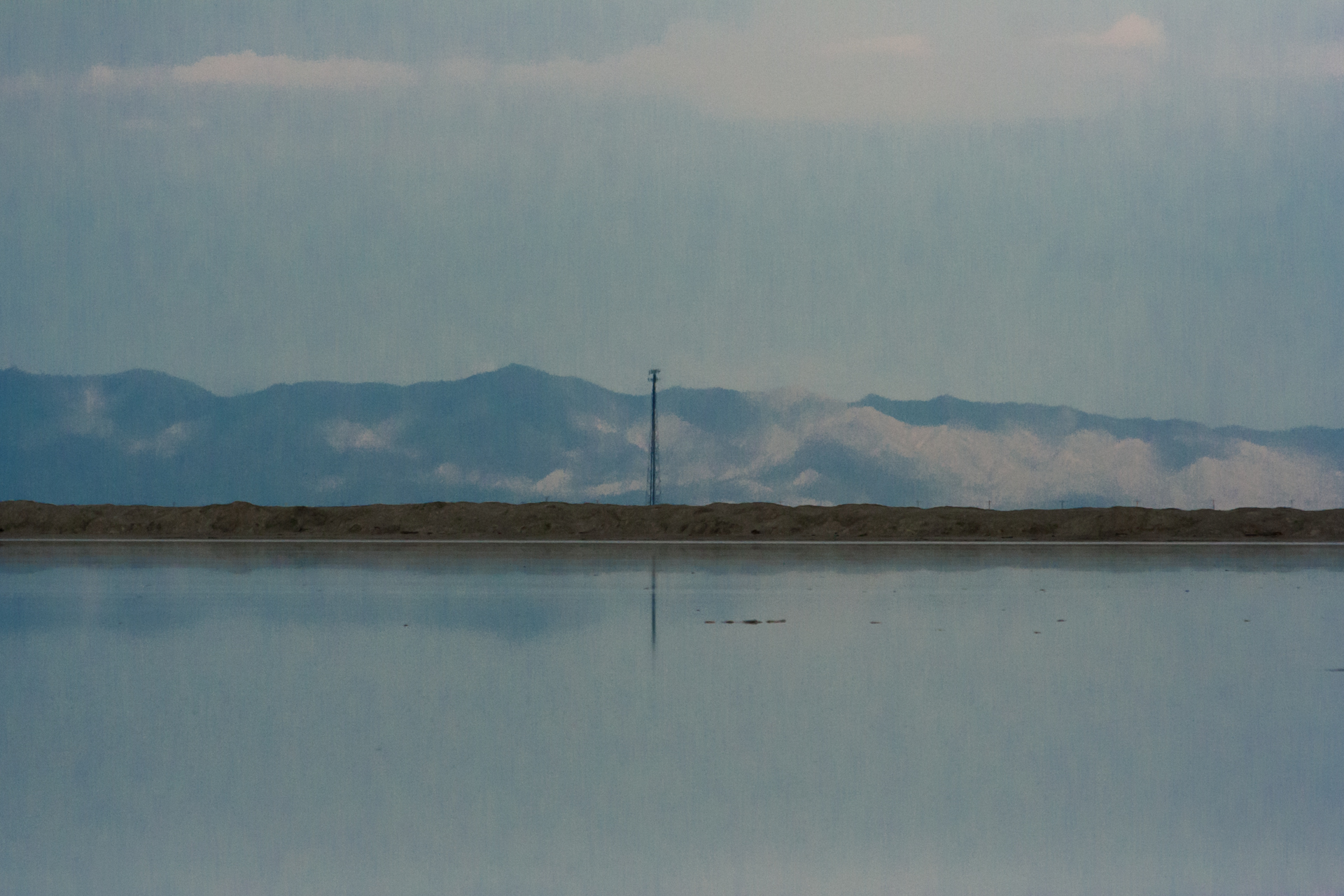
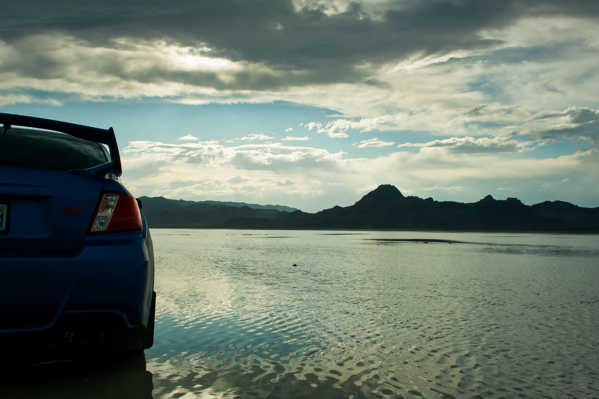
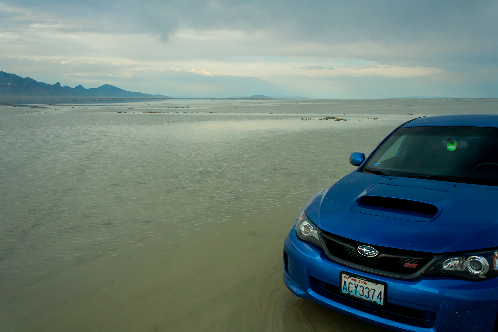
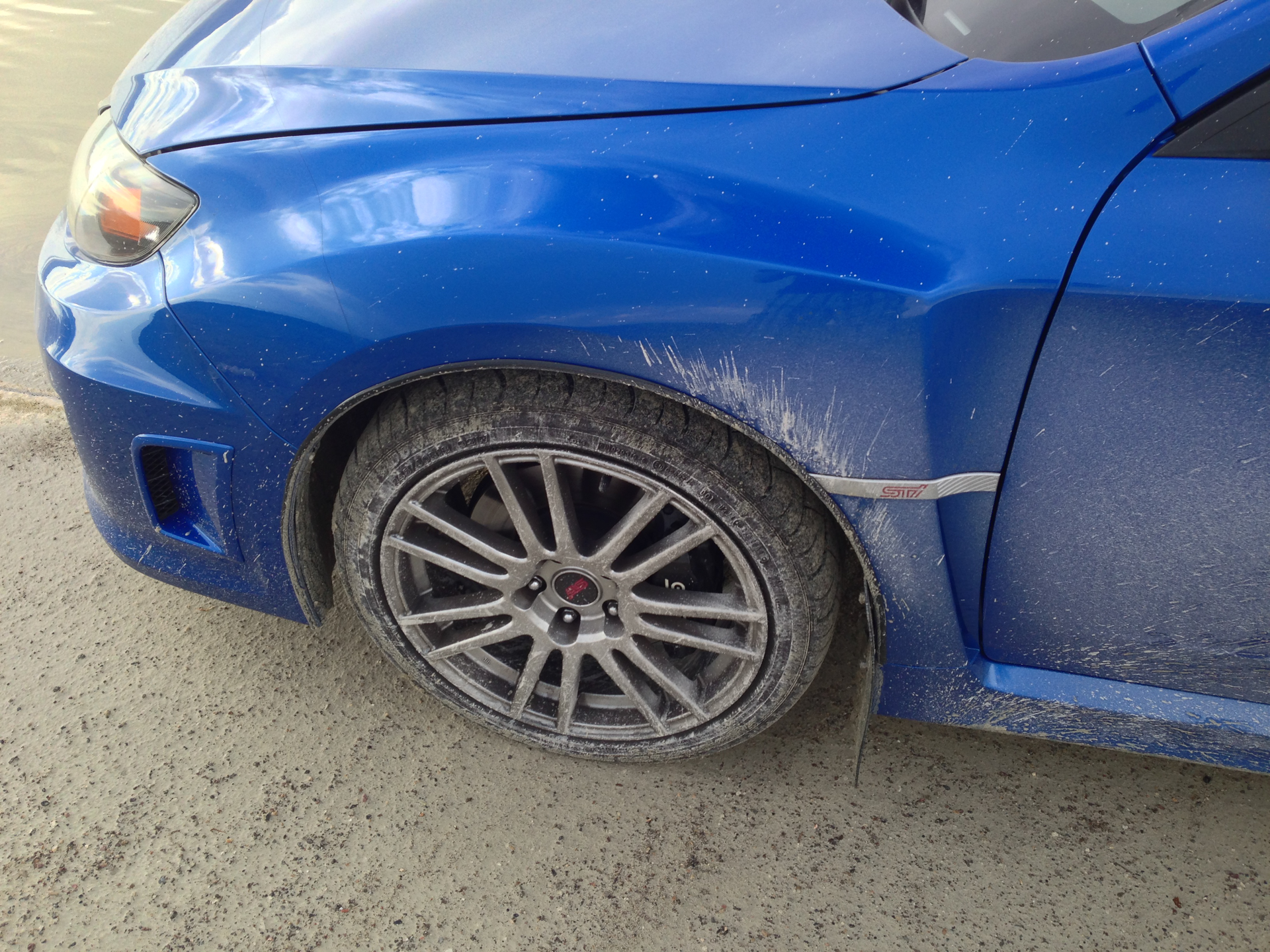
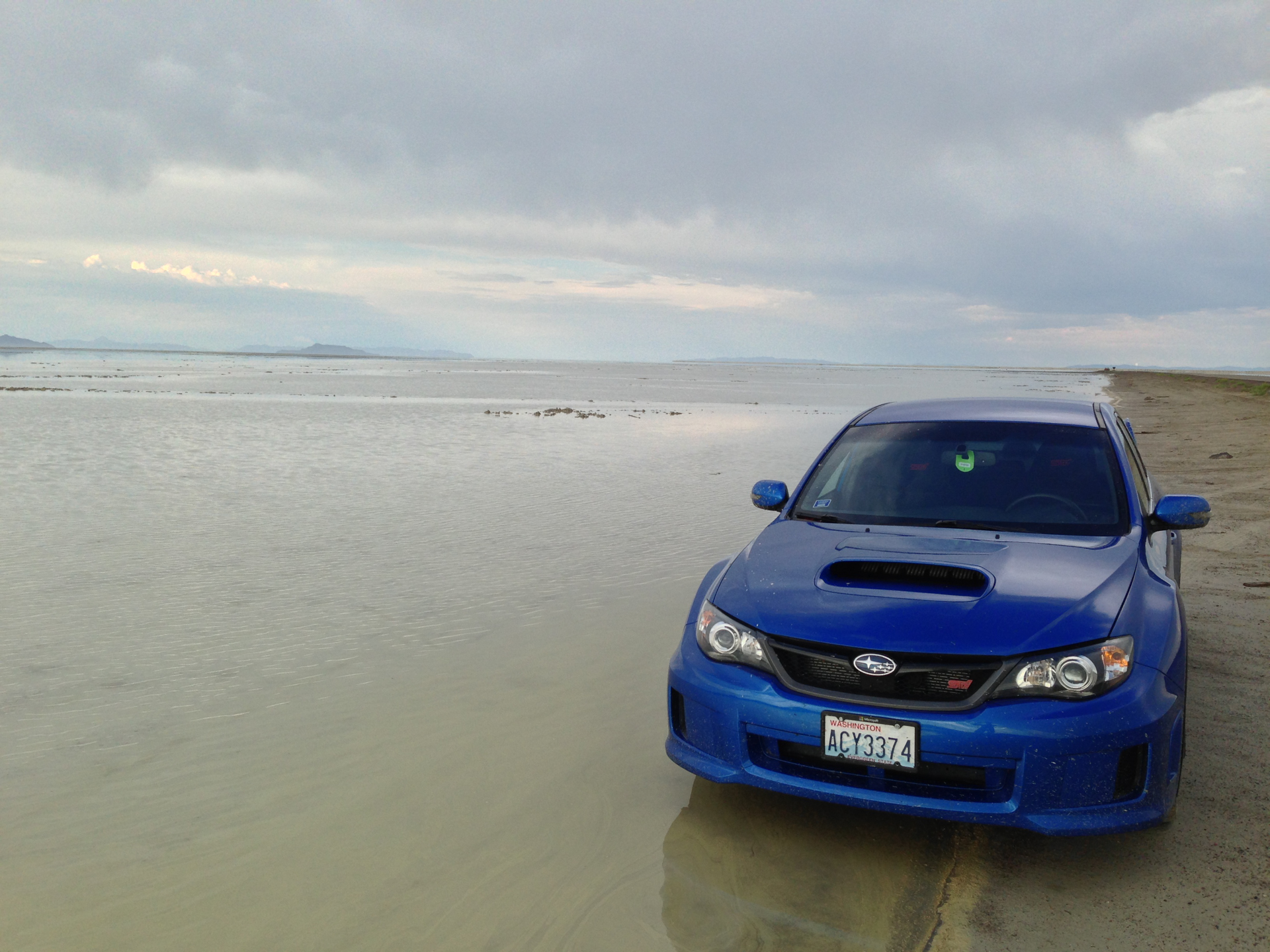
I was looking forward to driving on the salt flats and trying to hit my car's top speed of 158mph (254km/h), but unfortunately it had been raining before I arrived and the flats were covered in a thin layer of water. I drove around a little bit anyway to put my car's AWD system to the test, but I didn't go very fast or venture very far from the paved road—it's not recommended to drive on the salt flats when they're flooded as it becomes very easy to get stuck, apparently in some cases to the point that your vehicle becomes unrecoverable. I'll have to go back to the salt flats another time when they're dry, but at any rate, they were still very pretty and it was fun to get my car a bit dirty.
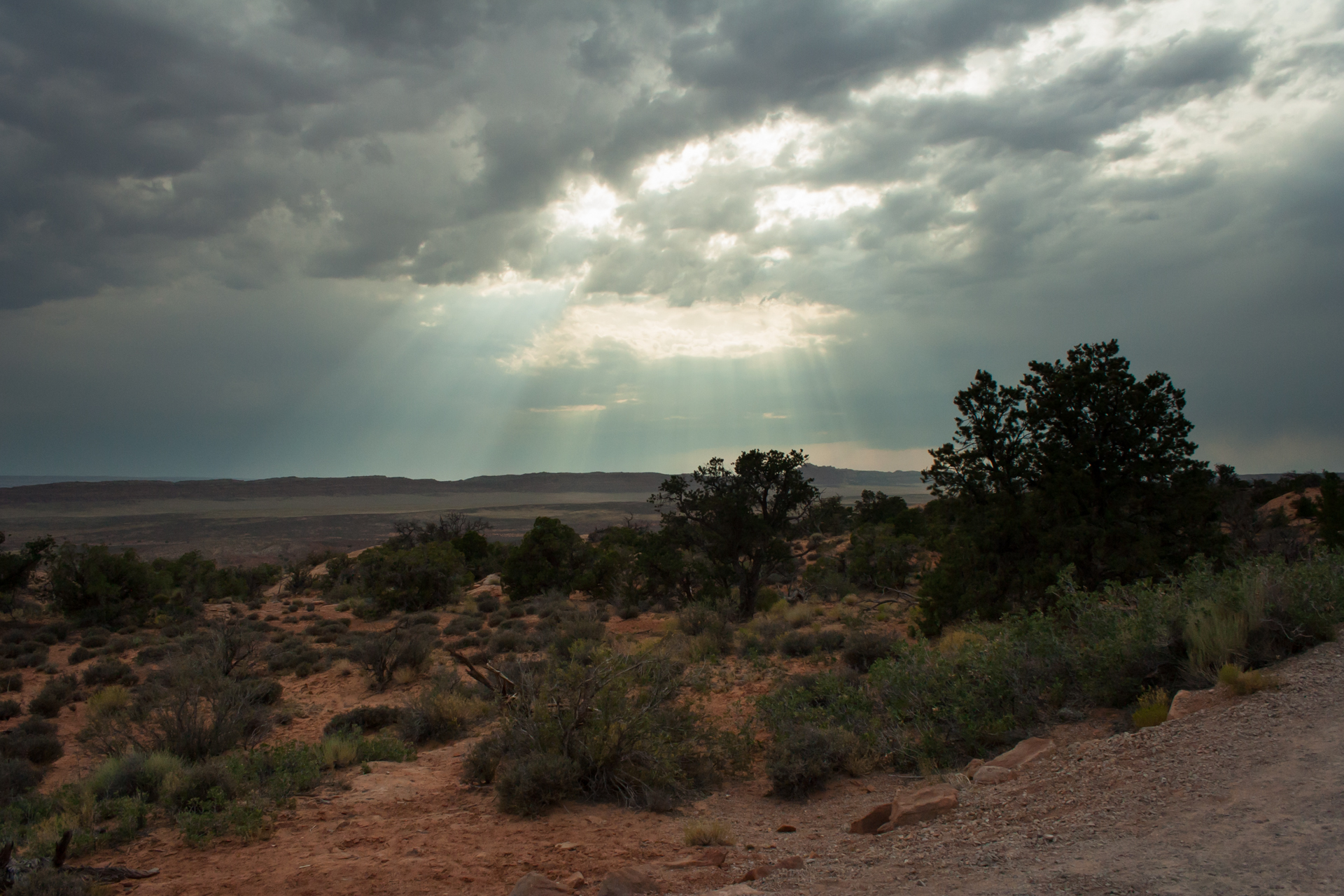
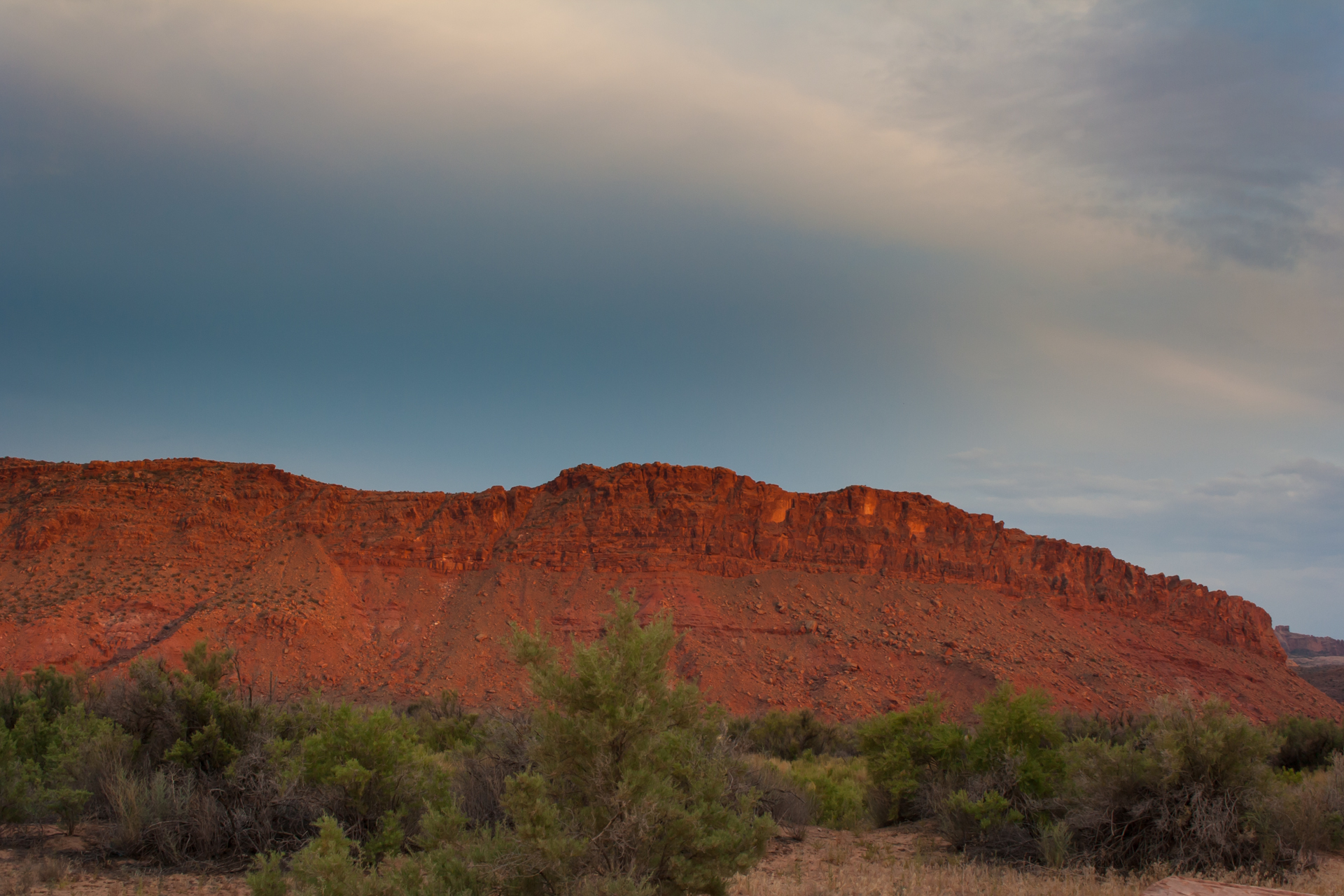
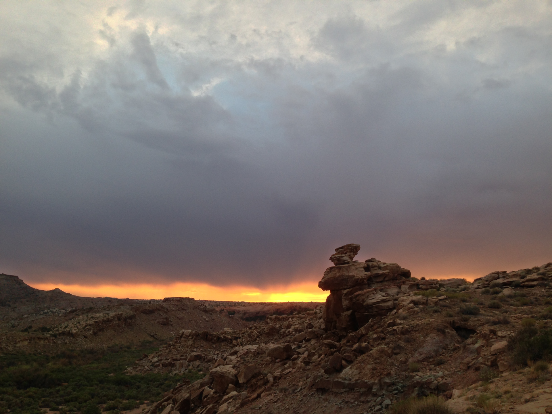
Continuing on from the Salt Flats, I drove through Salt Lake City, which is absolutely beautiful. As I drove in from the west, the sunset painted the mountains to the east of the city brilliant red, and a thunderstorm in Provo to the south periodically lit the sky with flashes of lighting. Sadly, I didn't have time to find a vantage point to get any pictures of this, as it was starting to get dark and I still had a few hours of driving ahead of me. I stopped for dinner in Salt Lake City and then continued on to Price, Utah, where I spent the night.


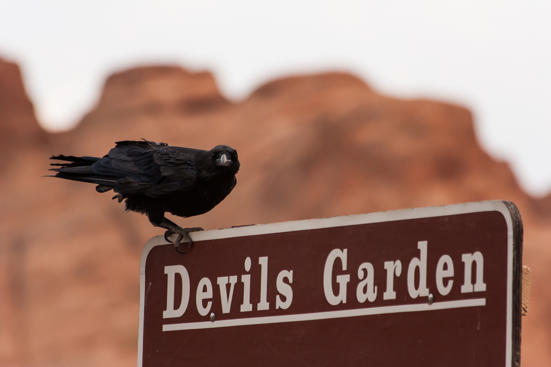
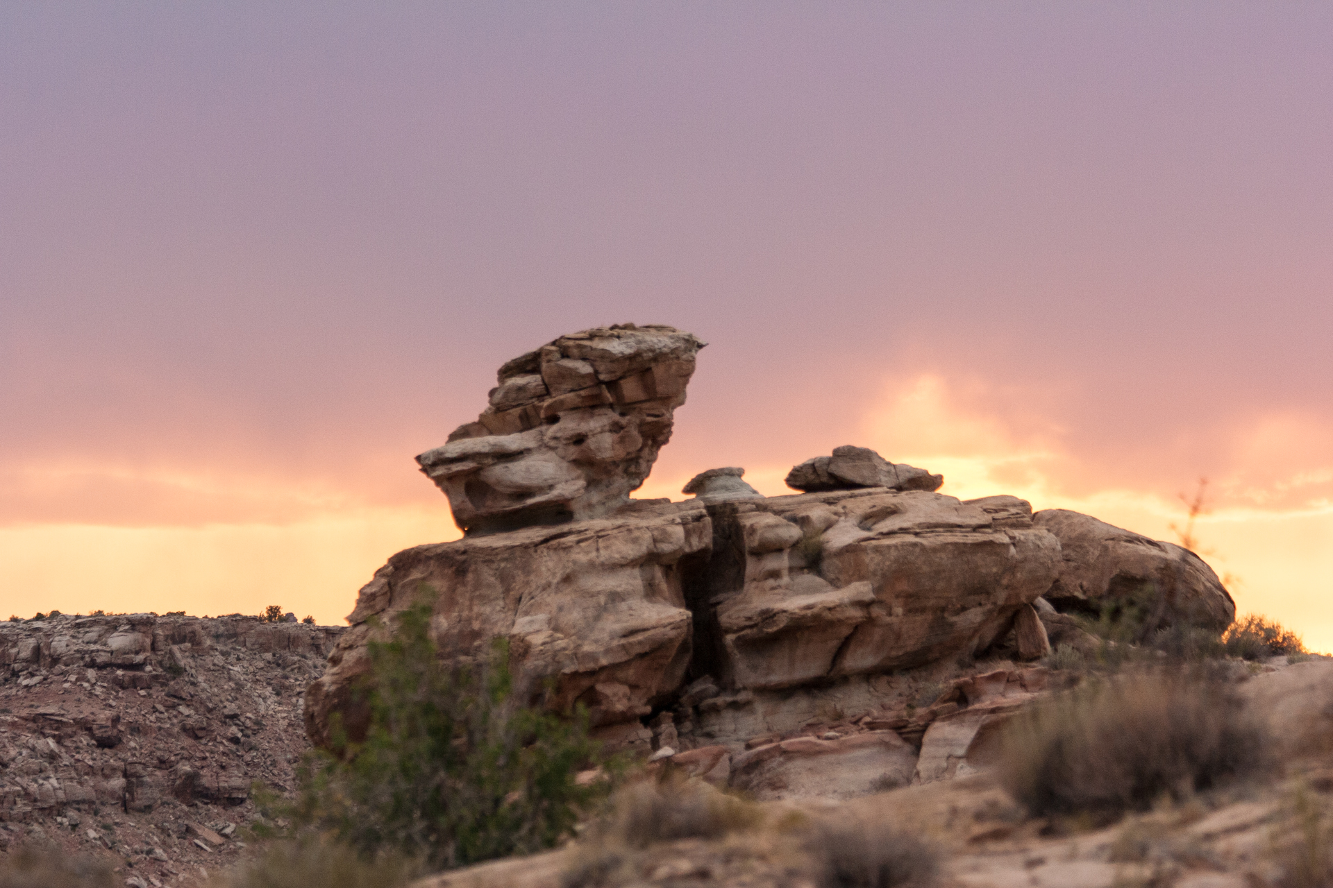
The third day of my trip was Saturday, the 6th of July, and I arrived in Moab, Utah around noon, where it was already over 100°F (38°C). I checked into my campsite and explored the town briefly. I was reluctant to go hiking in the oppressive heat, but it showed no signs of letting up before dusk, so I bought several bottles of water and Powerade and headed to Arches National Park.
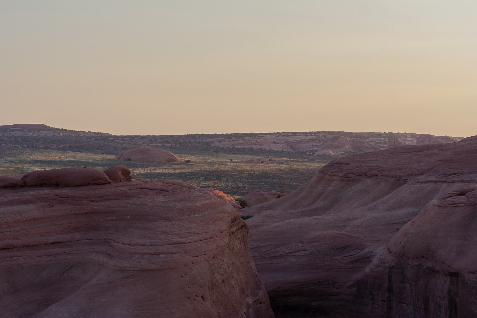
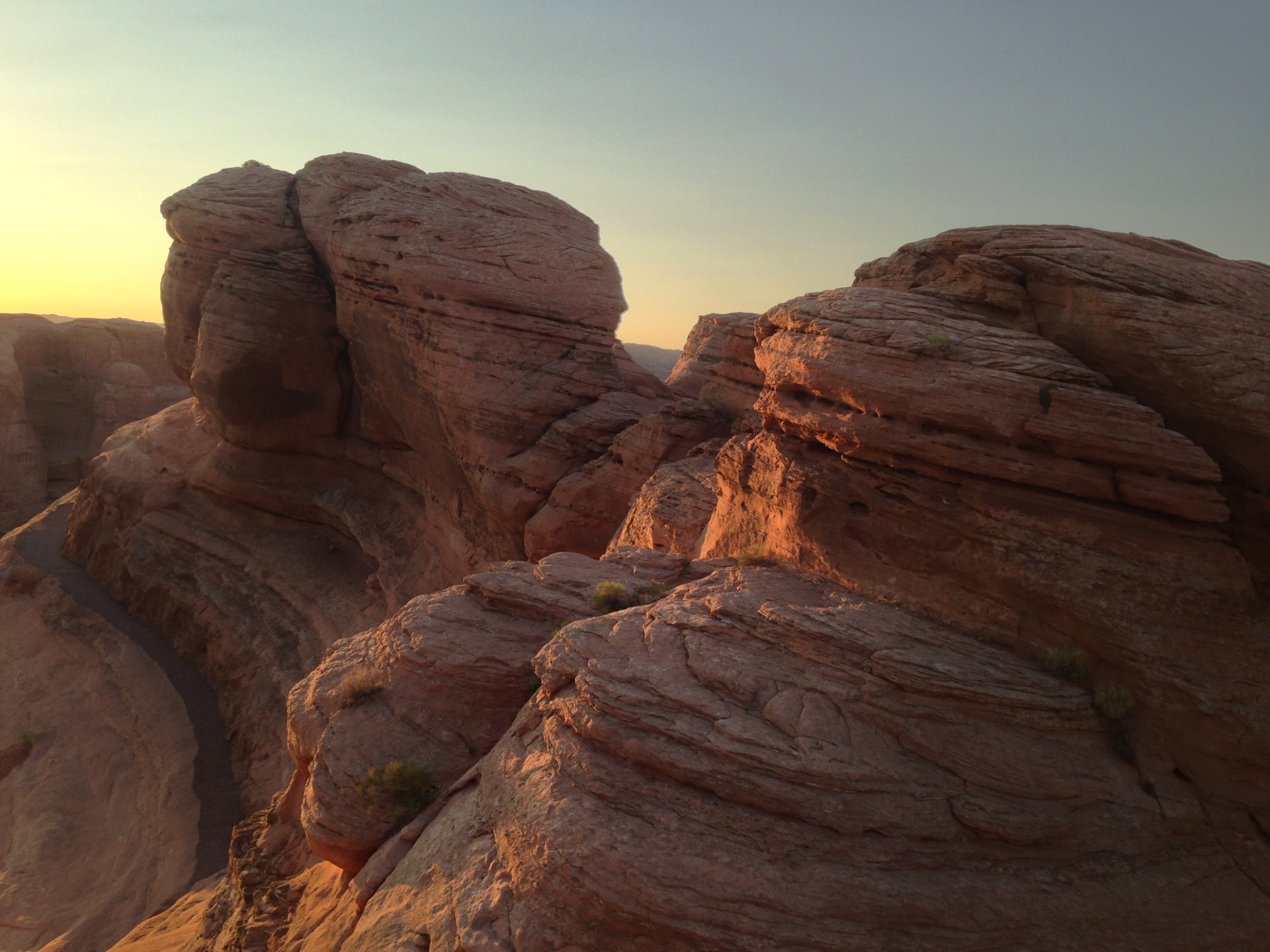
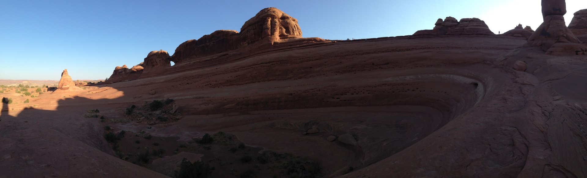
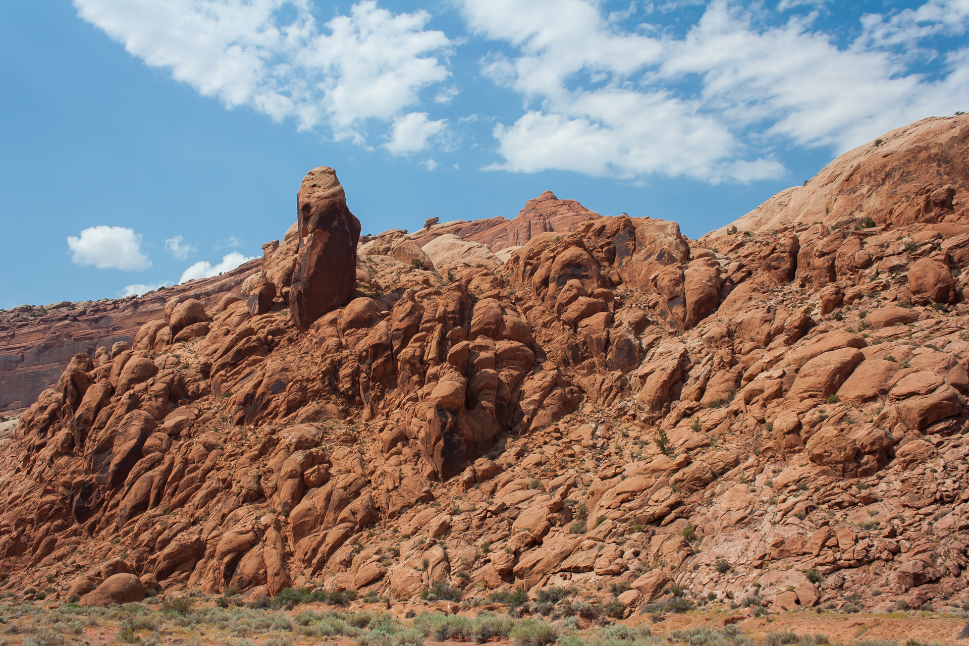
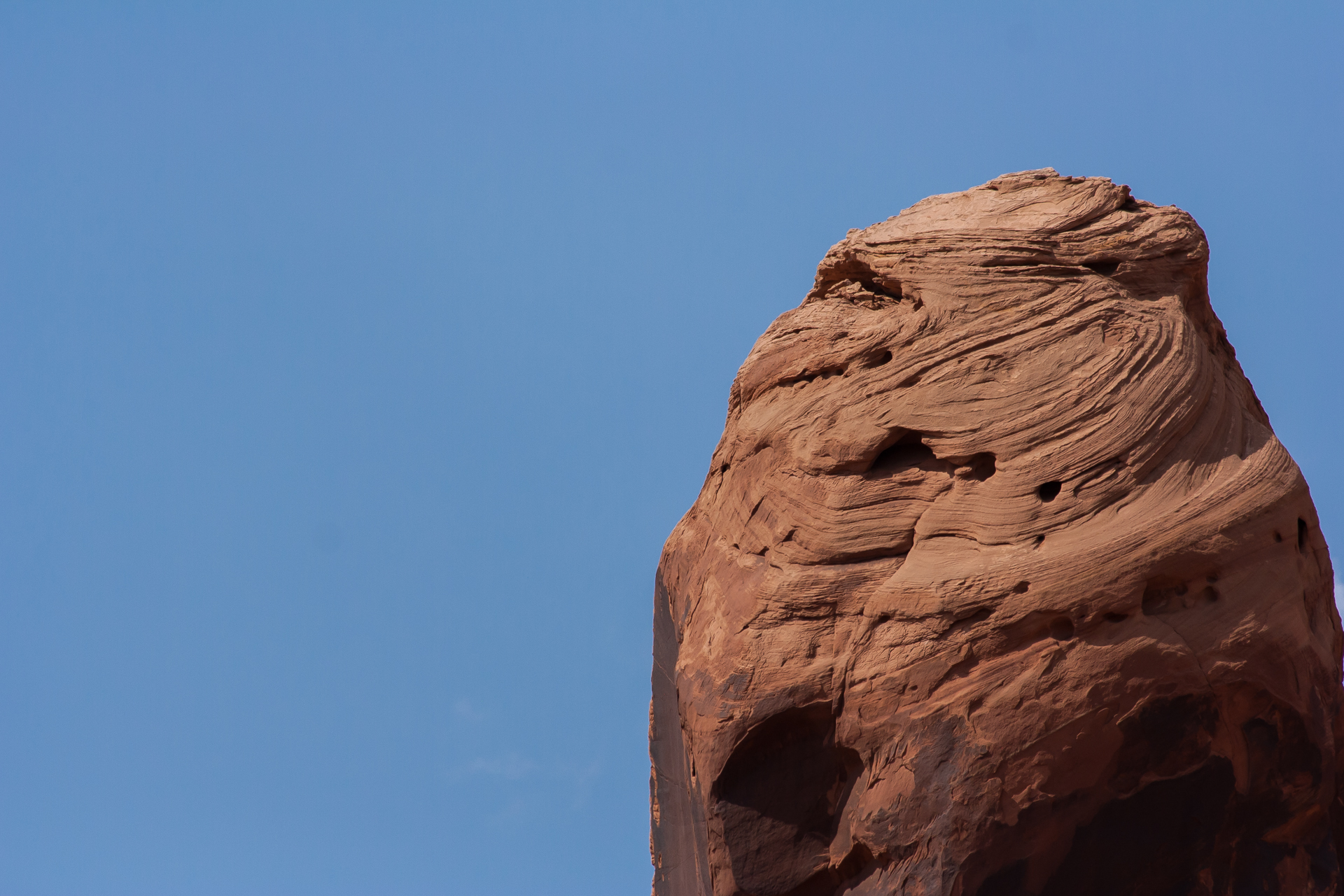
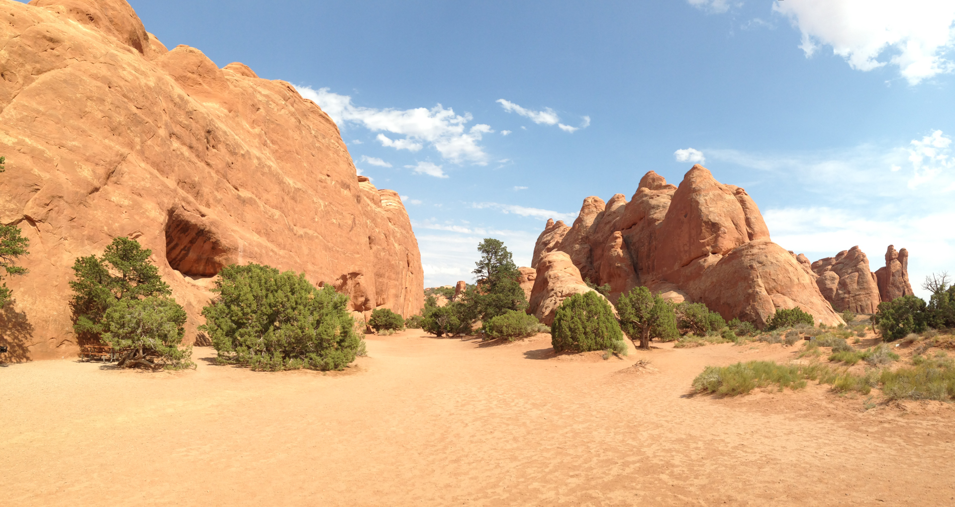
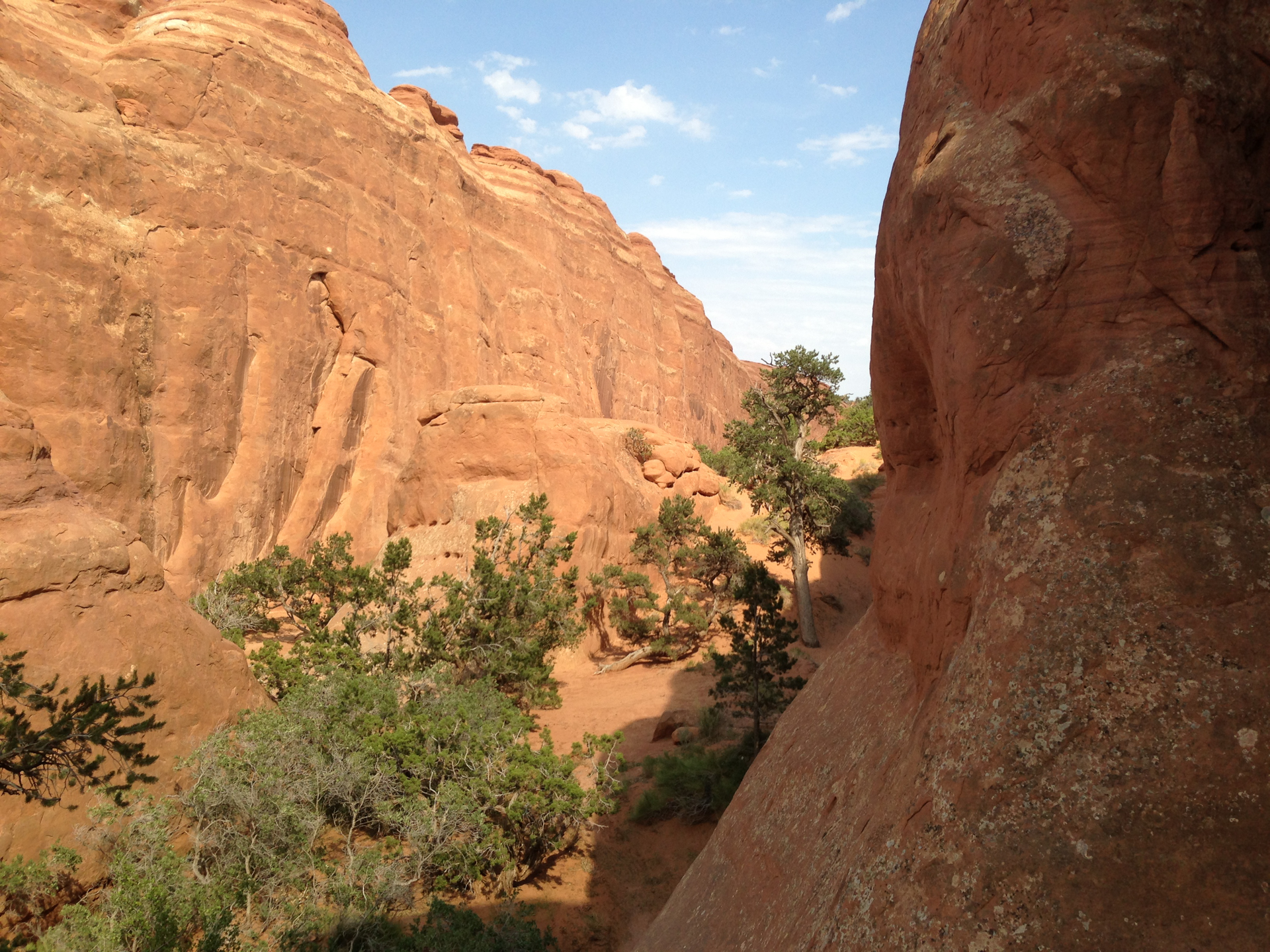
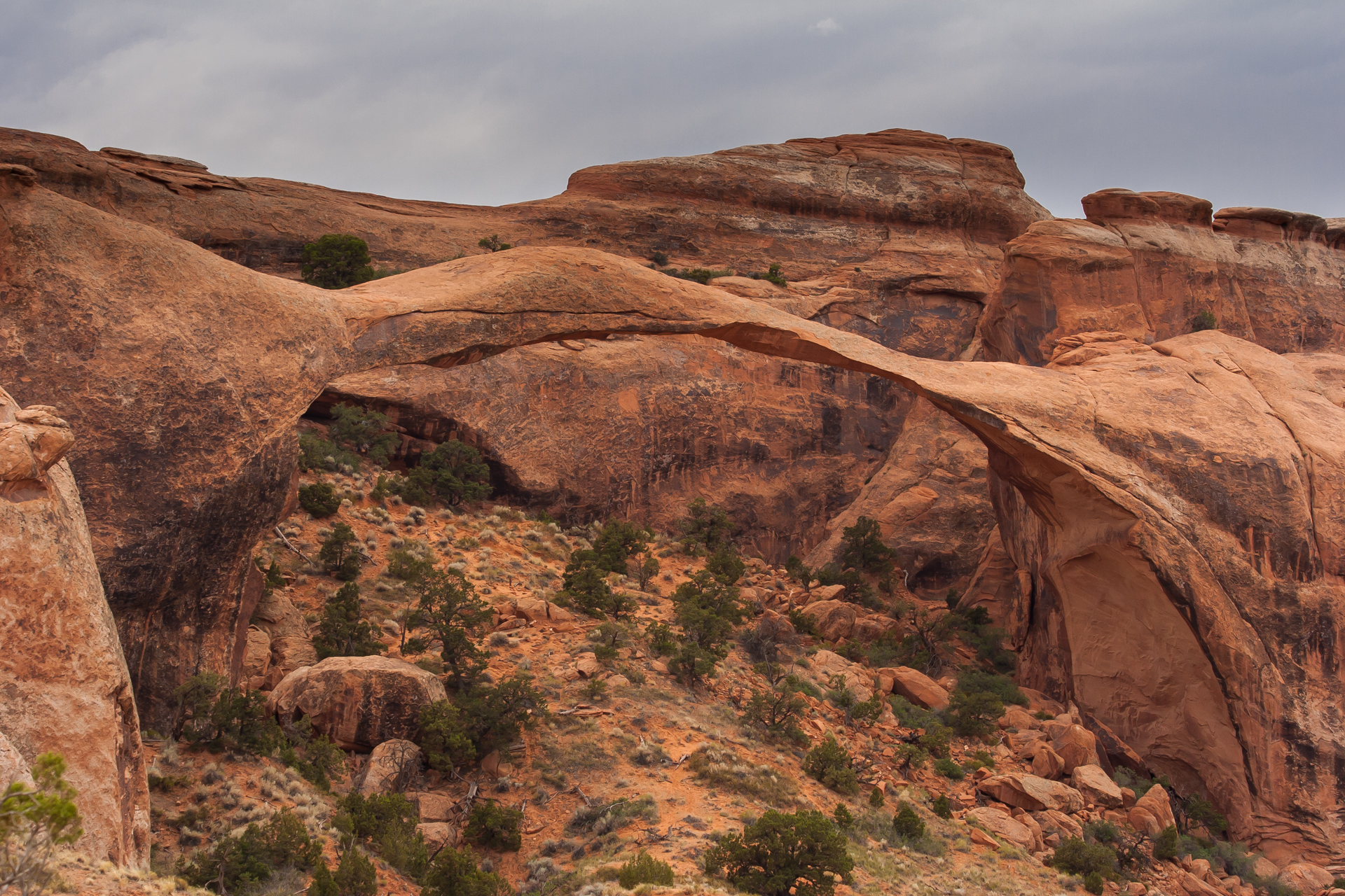
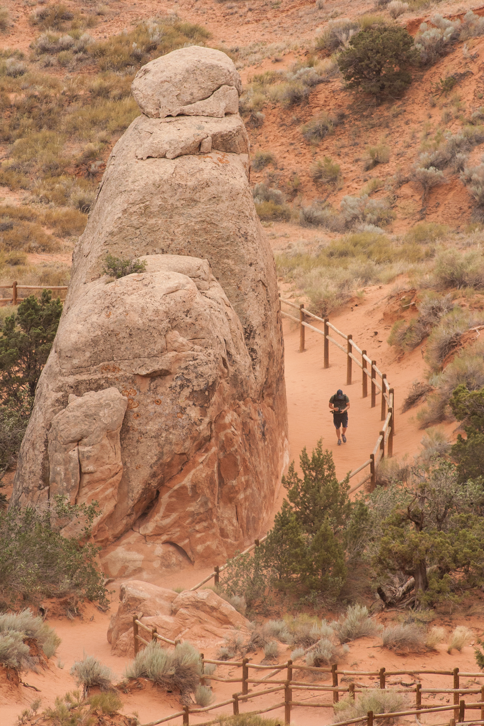
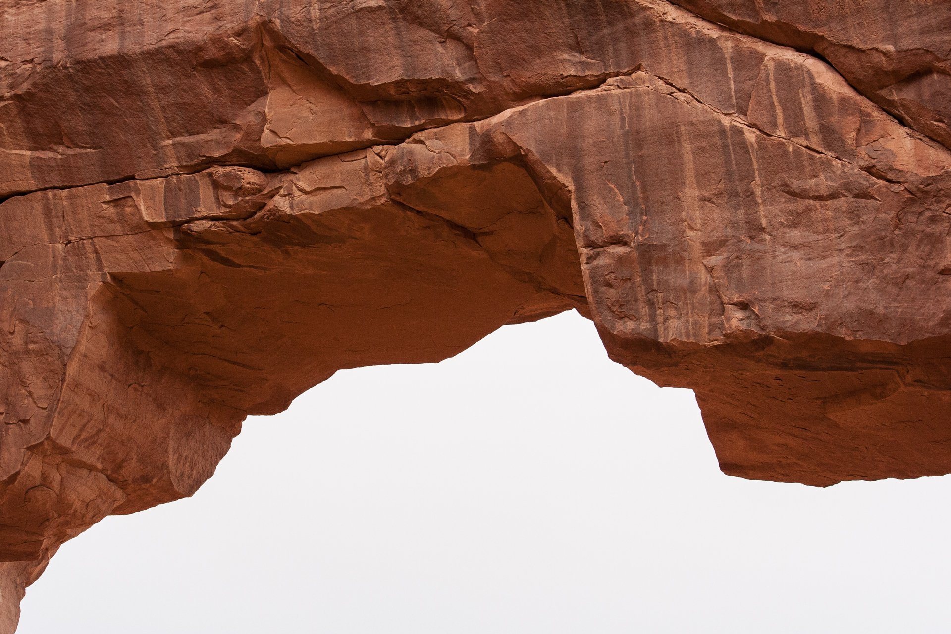
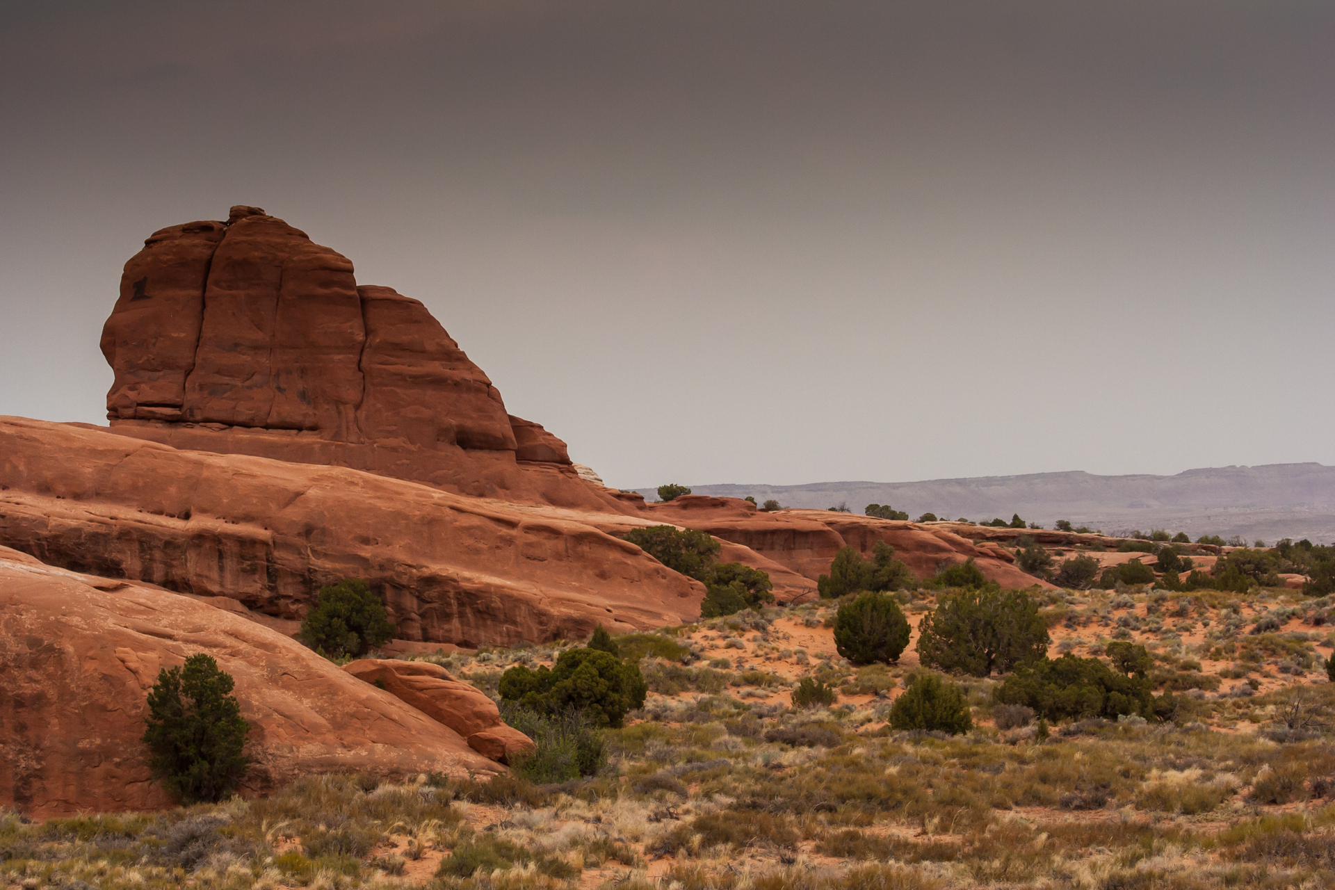
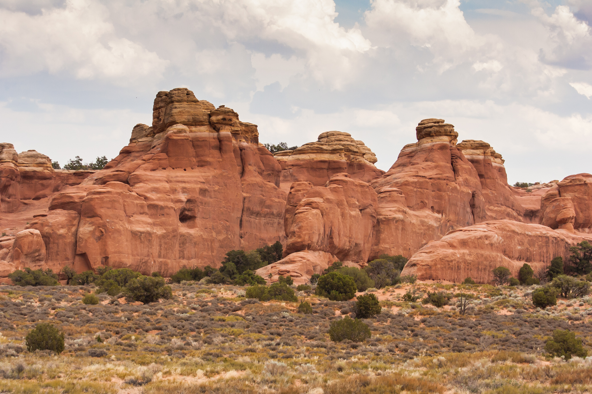
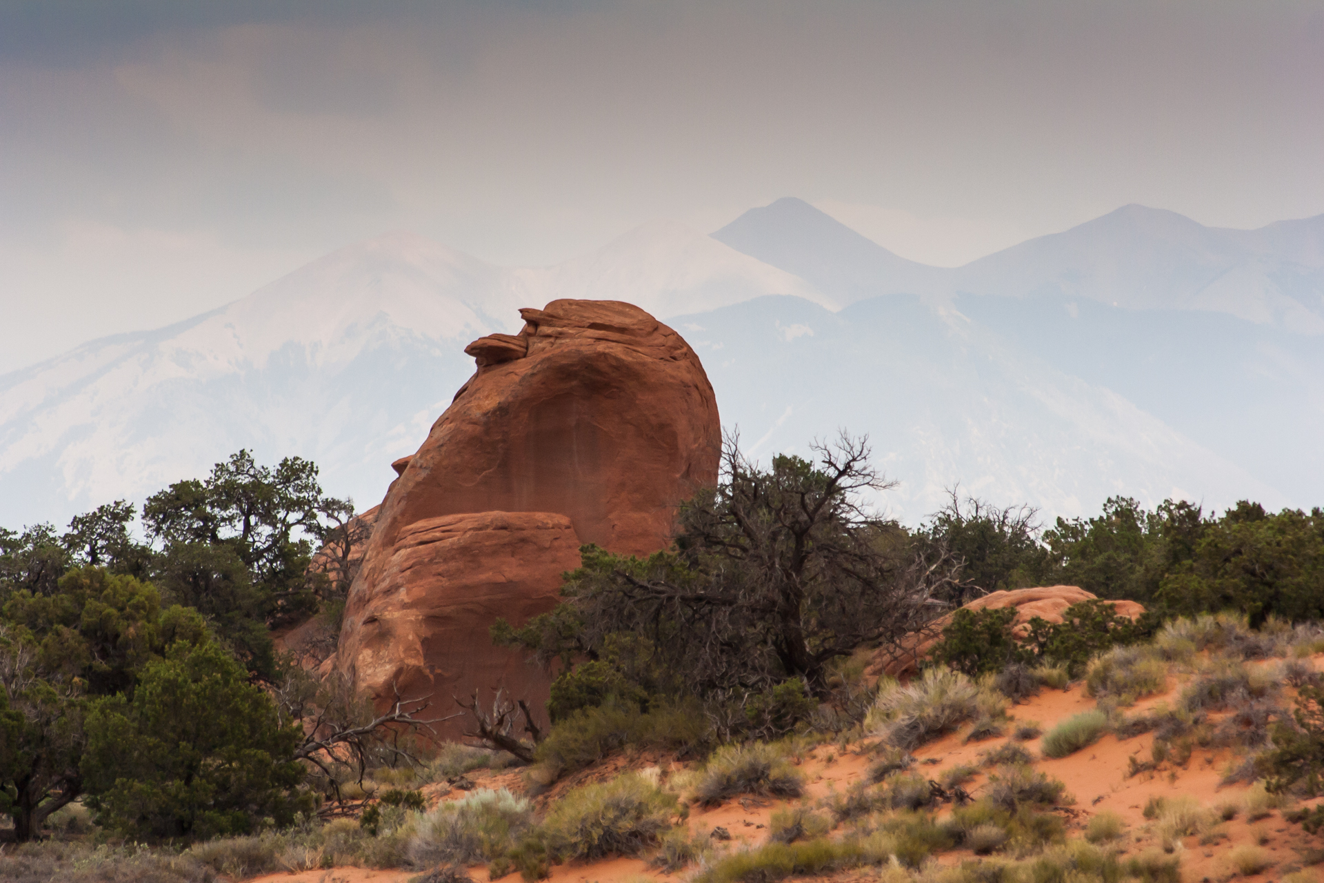
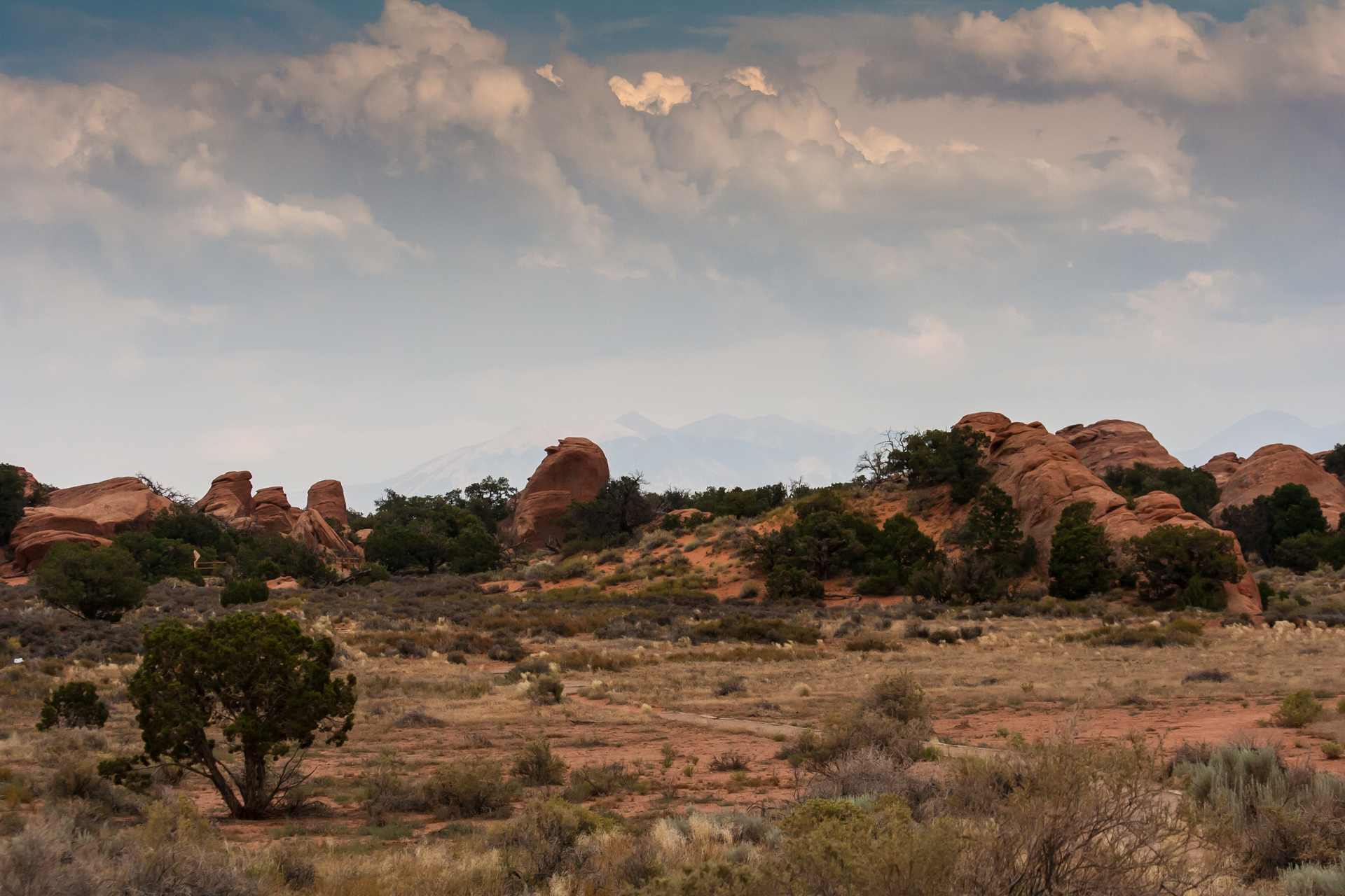
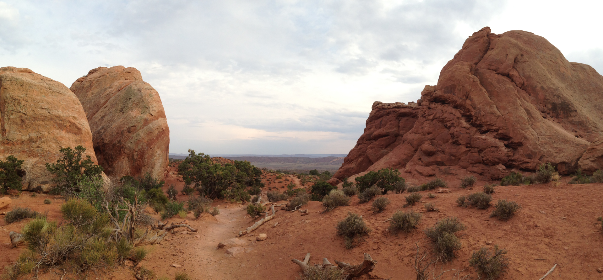
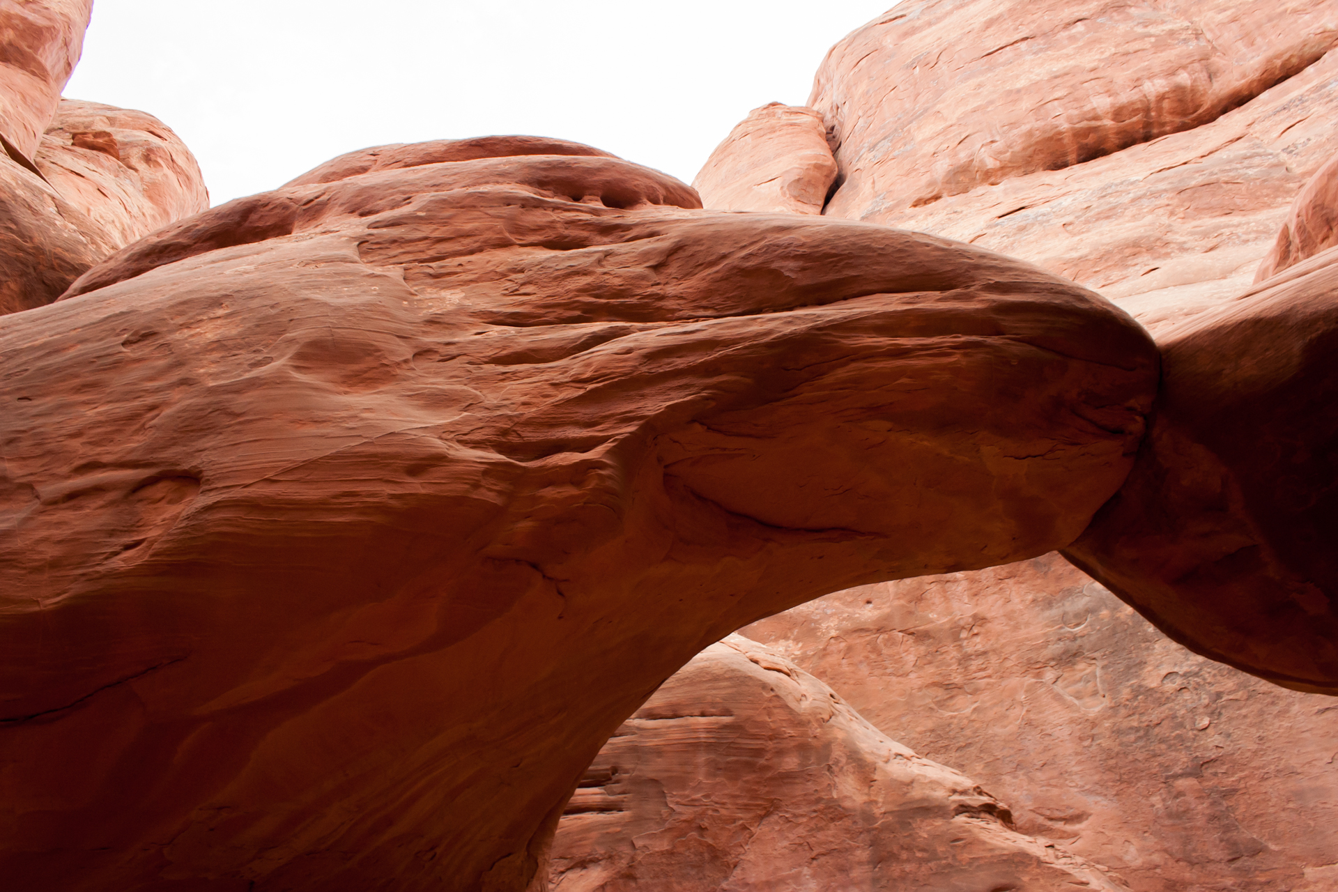
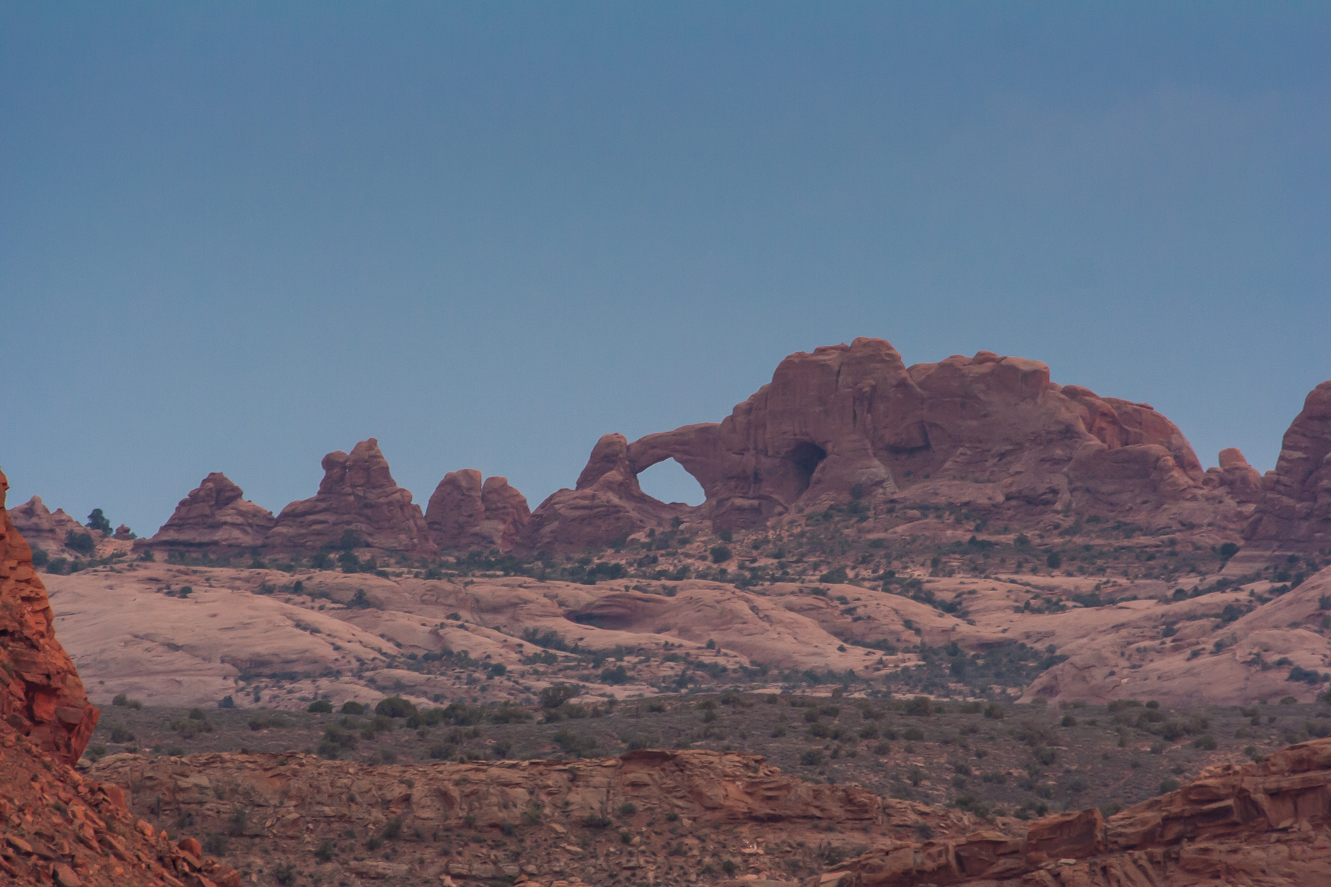
Arches is remarkably beautiful. Of all the places I visited on my trip, it was second only to Zion National Park. Even if I had gone to Zion first, Arches still would have been amazing, but as I hadn't yet been to Zion it was truly awe inspiring. Arches is also a very accessible national park; the scenic drive through the park alone is impressive, and many of the most impressive arches require only short hikes to see up close. That said, for someone from a northern climate such as myself, a two mile hike in 100-degree heat is a lot harder than one might expect.
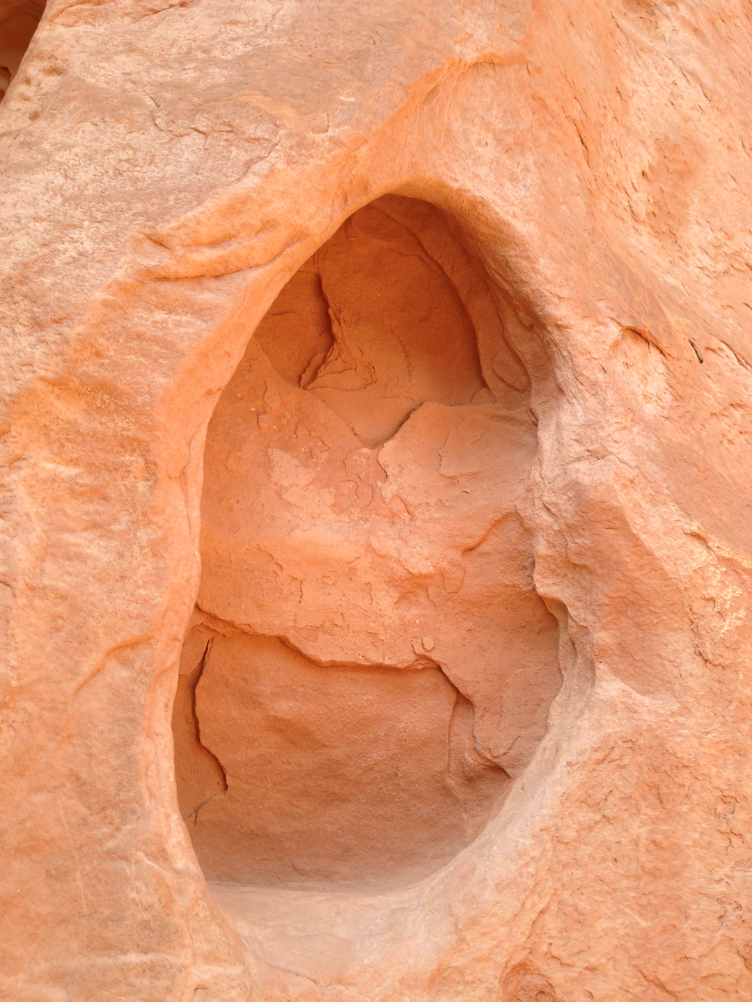
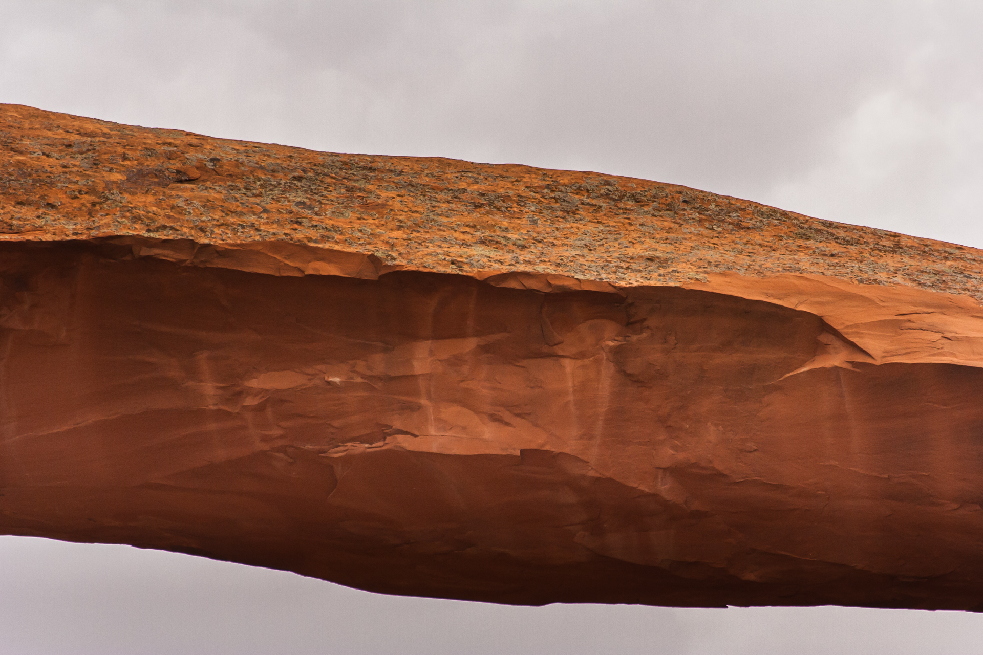
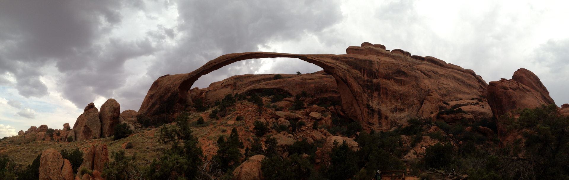
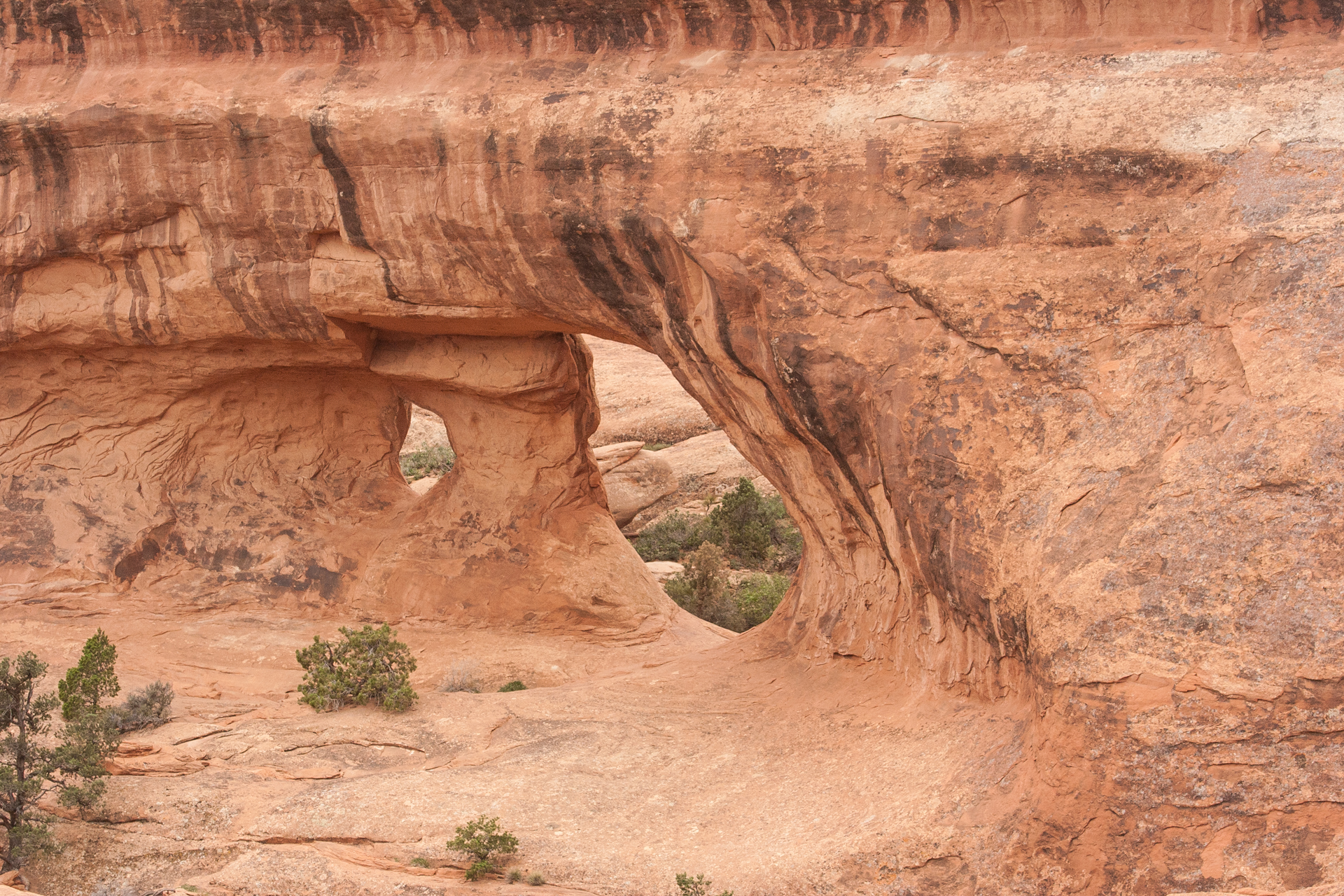
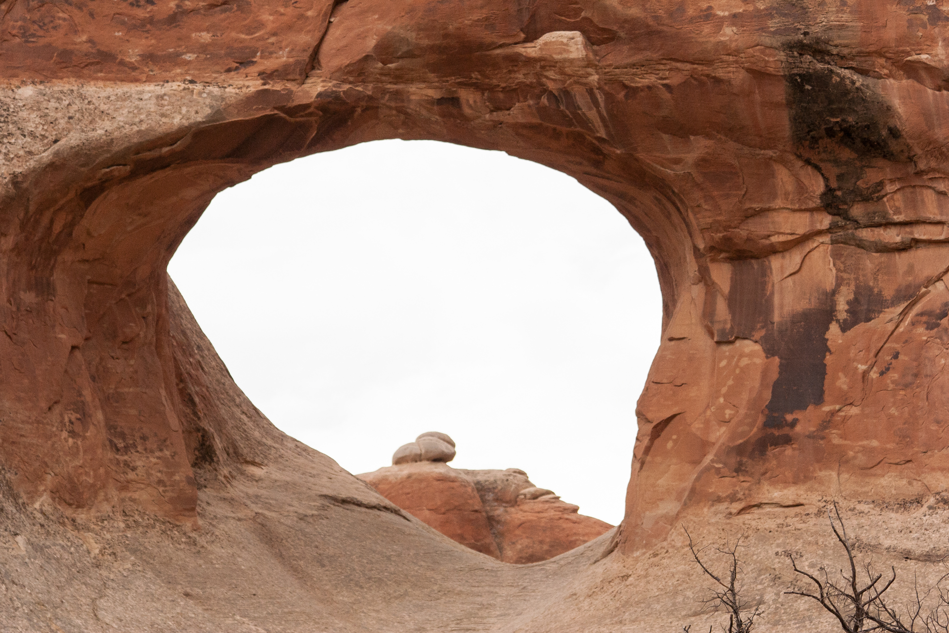
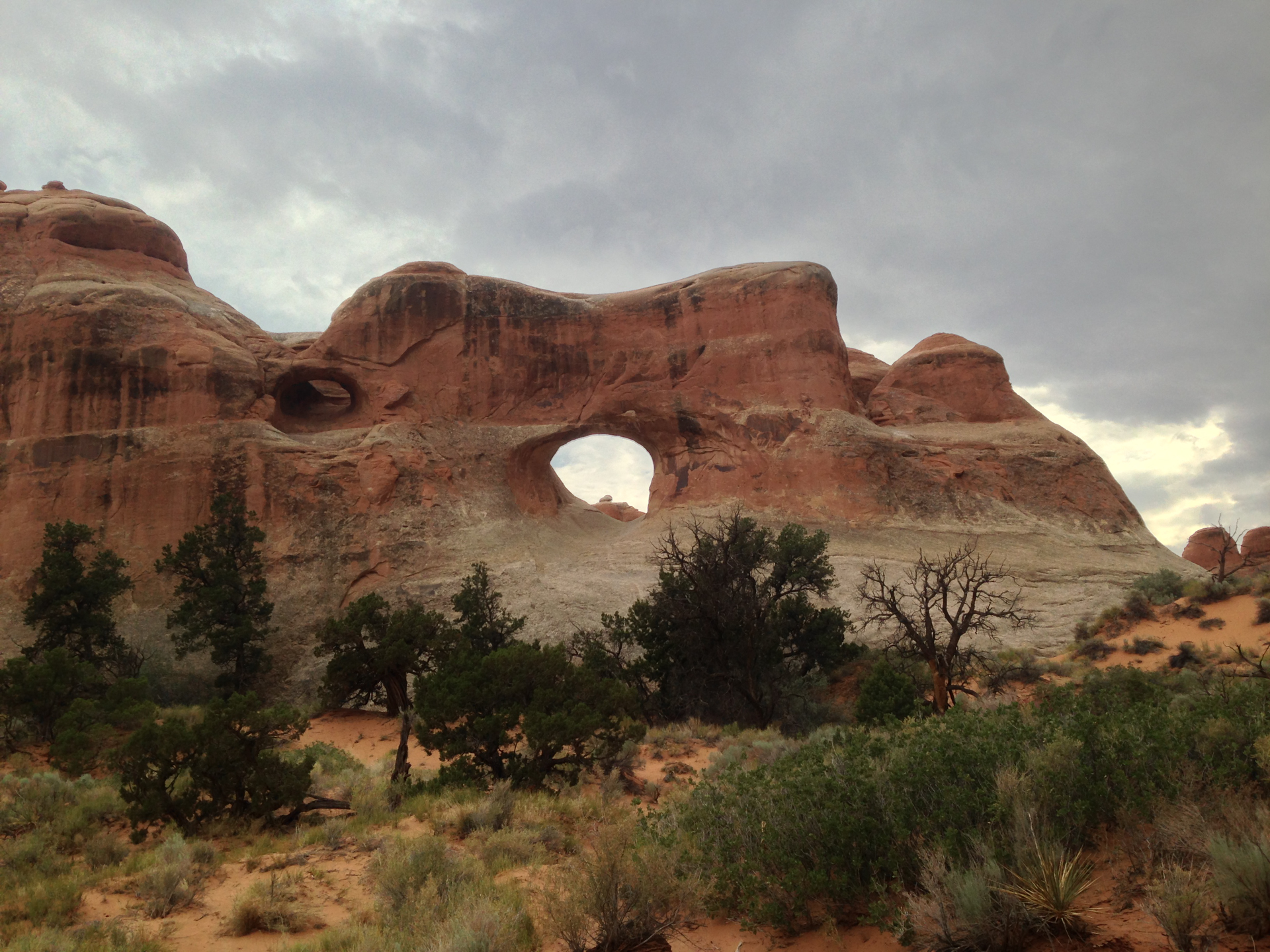
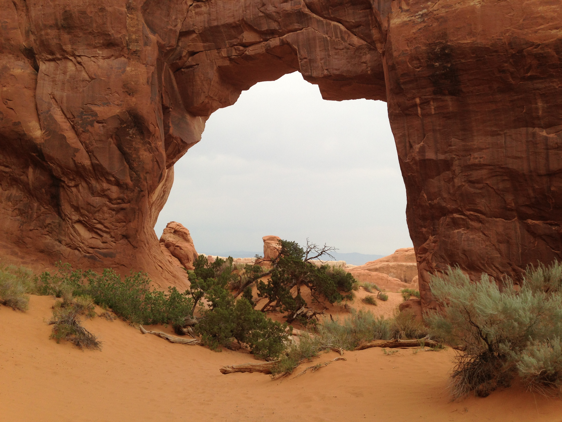
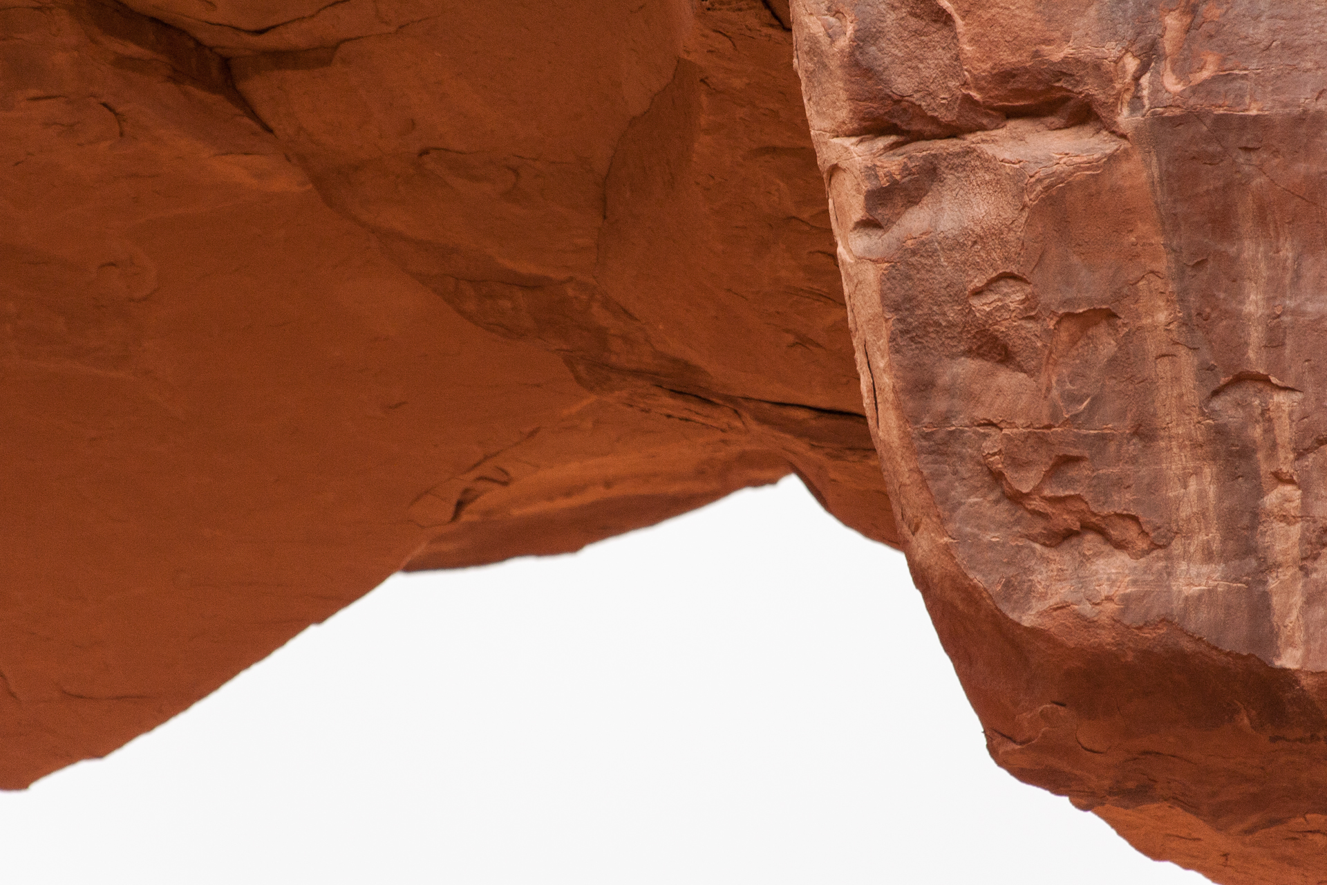
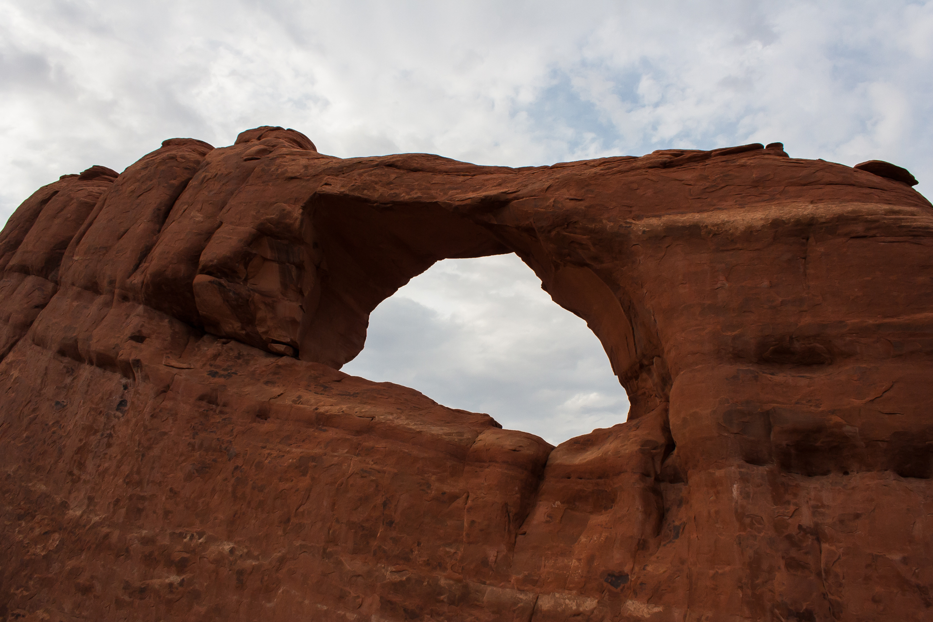
I started with Landscape Arch, which was suitably picturesque and monumental for my first arch. From there, I tried to continue on to Double O Arch, which is further along the same trail. But between the extreme heat and a harsh wind that coated my face, eyes, mouth and camera with orange-red sand, I decided to turn back before I reached Double O Arch; with so many other arches to see, I didn't want to exhaust myself visiting the first few arches. I stopped at Pine Tree Arch and Tunnel Arch on the way back. Tunnel Arch is aptly named because it's really more of a hole through a large fin of rock, on its way to becoming an arch but not quite there yet. Pine Tree Arch was nice, but difficult to photograph without a wide angle lens.
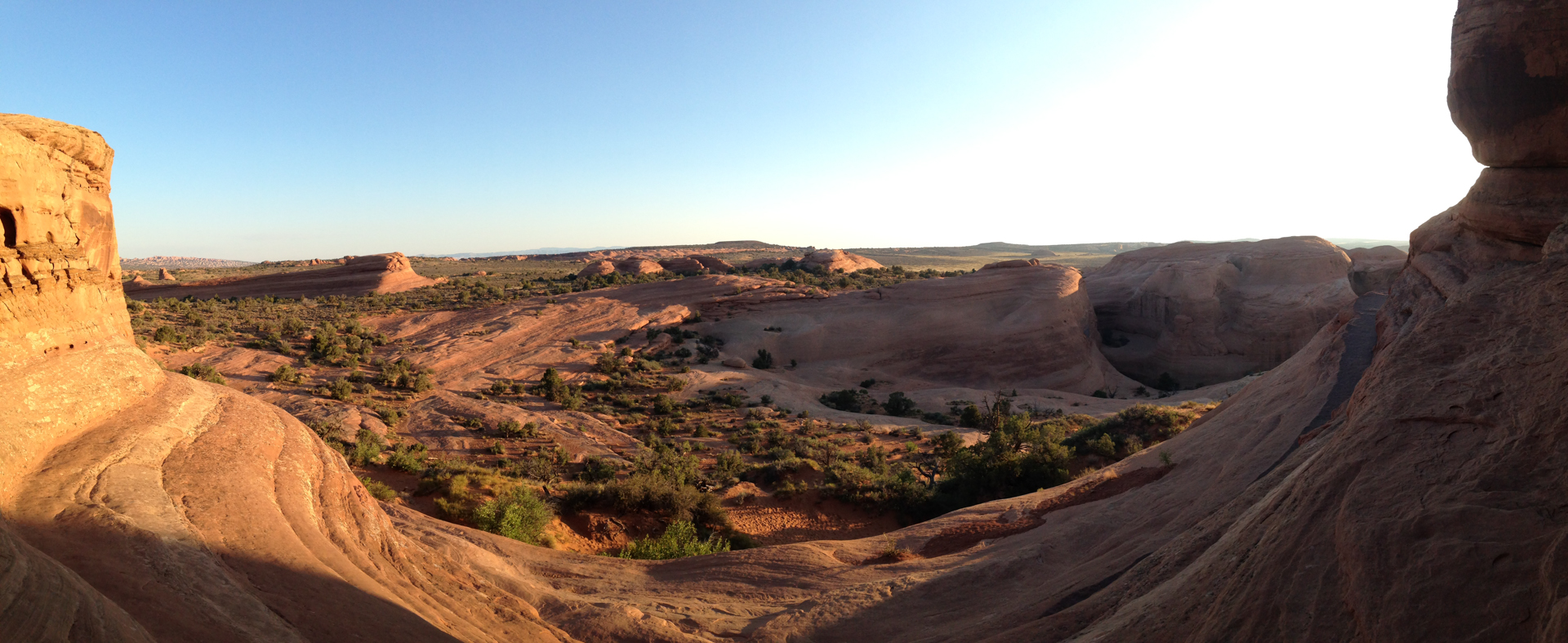
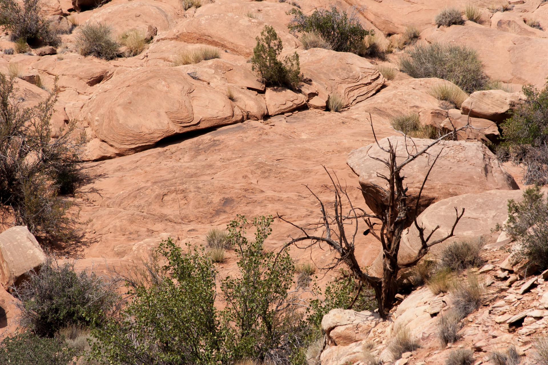
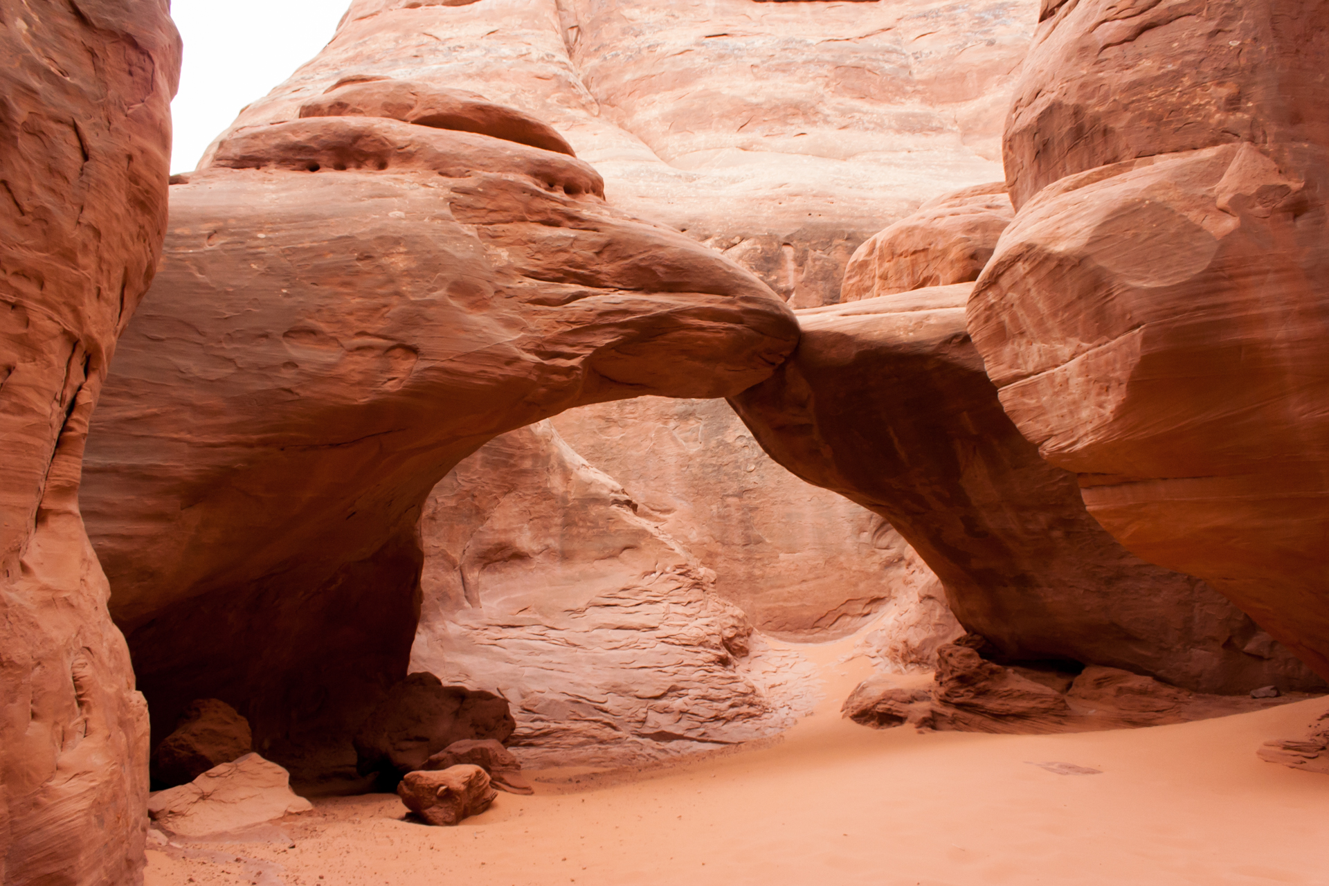
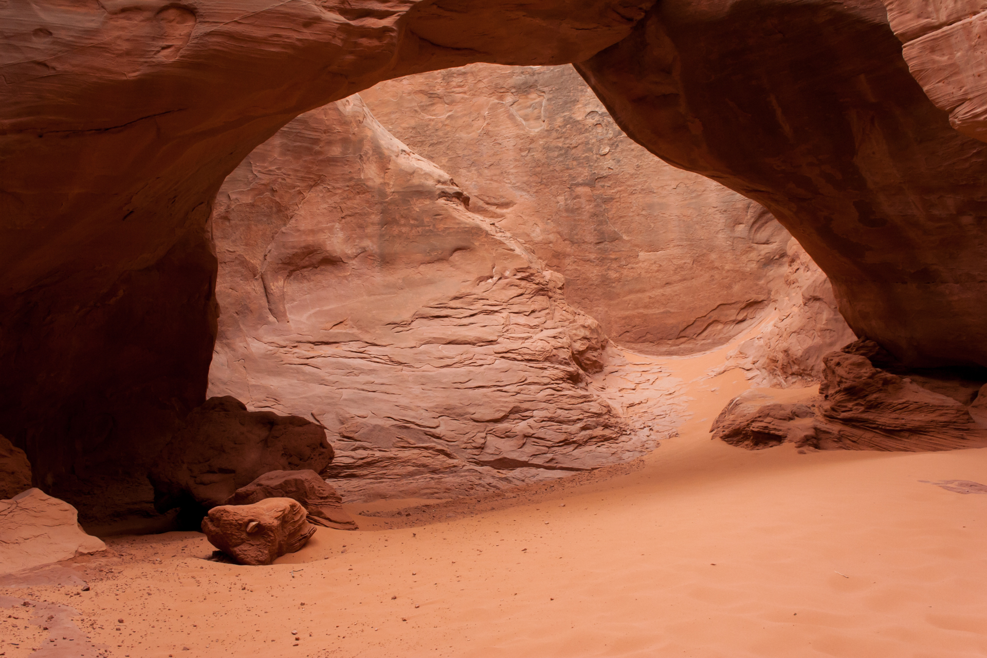
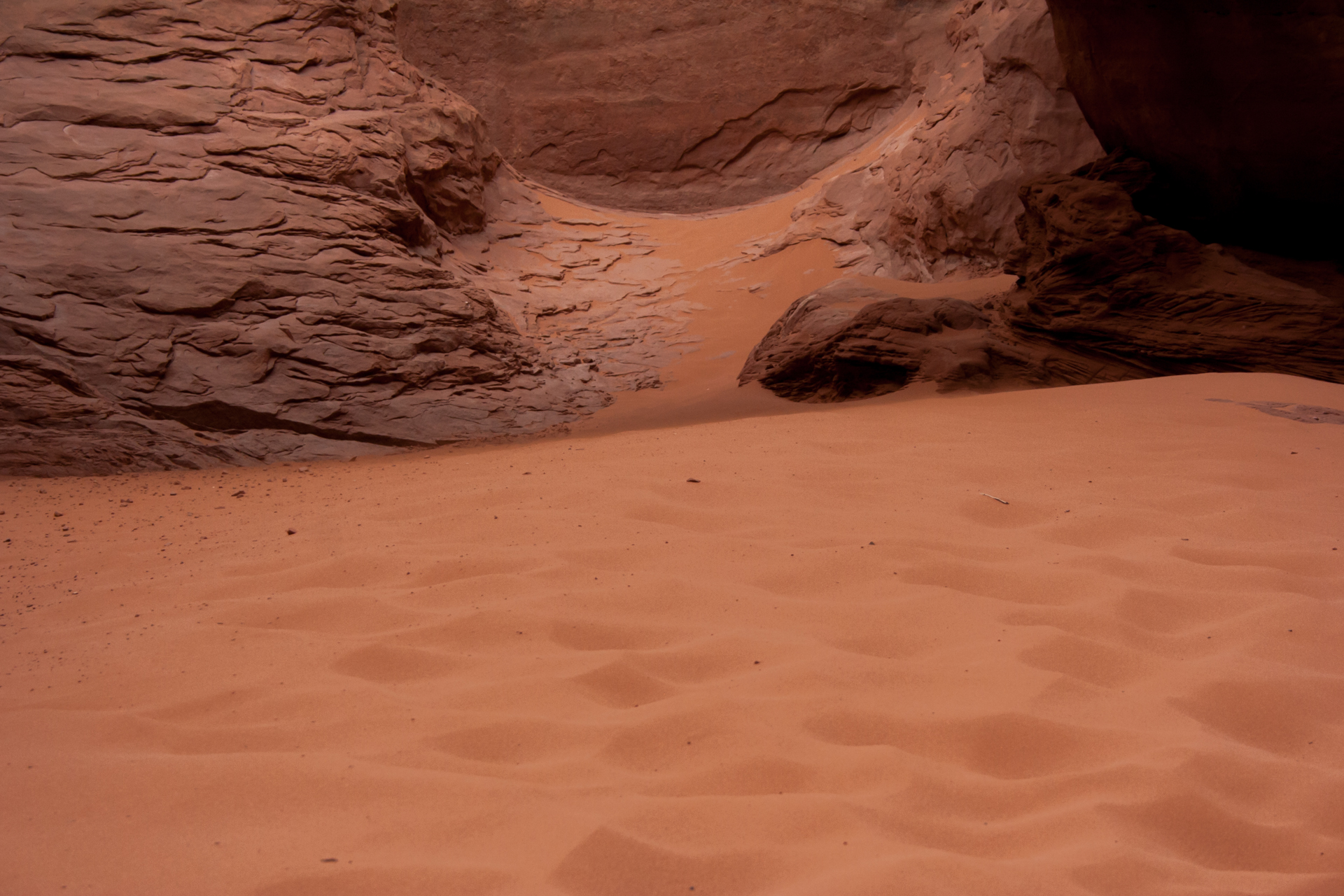
I then made the short hikes to Skyline Arch and Sand Dune Arch, the latter of which is one of the most picturesque arches in the park, in my opinion. Being in a canyon, the soft sand around the arch is also delightfully cool on a hot day. Were it not so busy, it would be the perfect place for a nap. Behind the arch, there's a crevice that one can easily walk into for a change of perspective, and it's quite easy to climb onto the top of the arch as well.
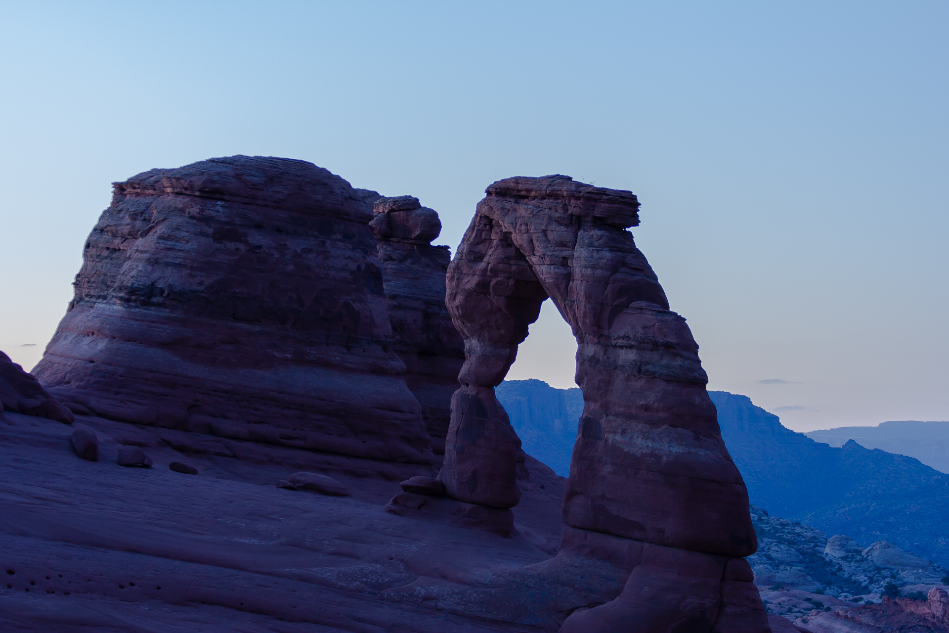
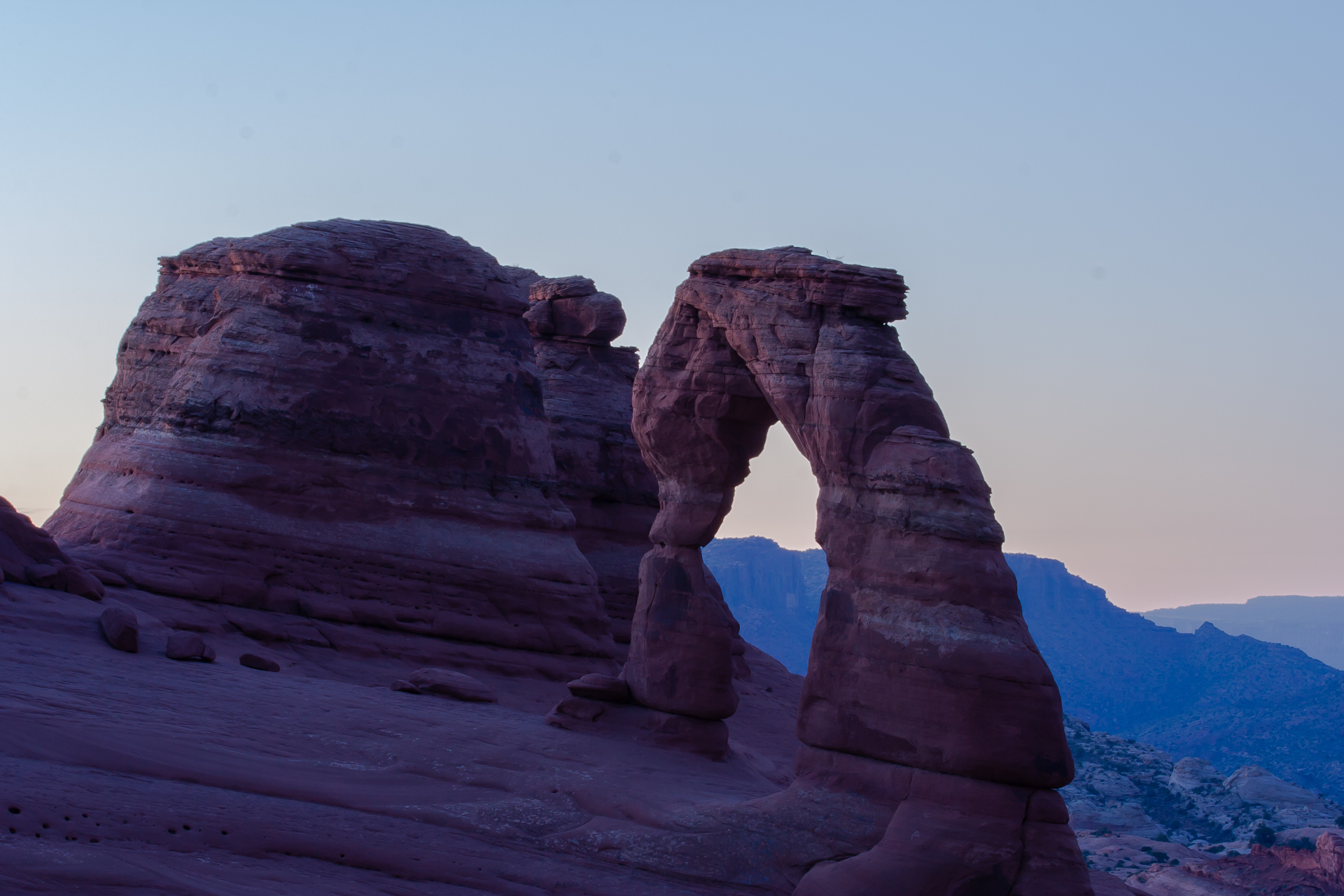
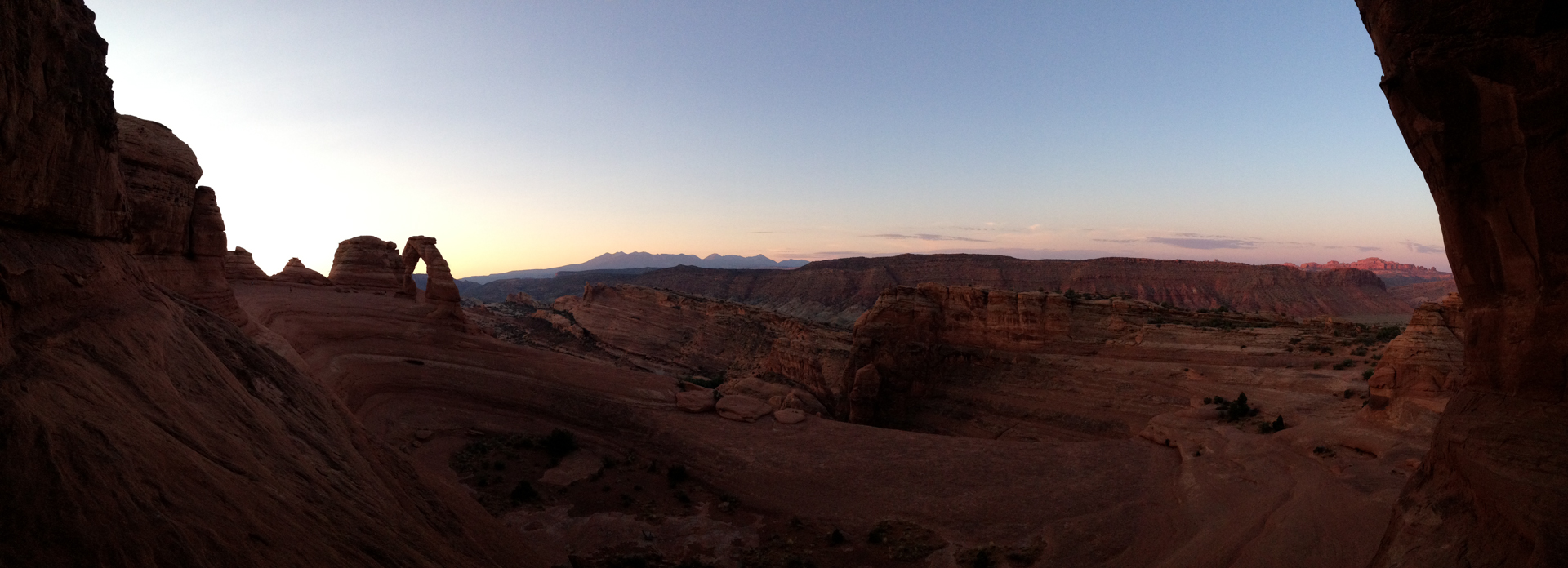
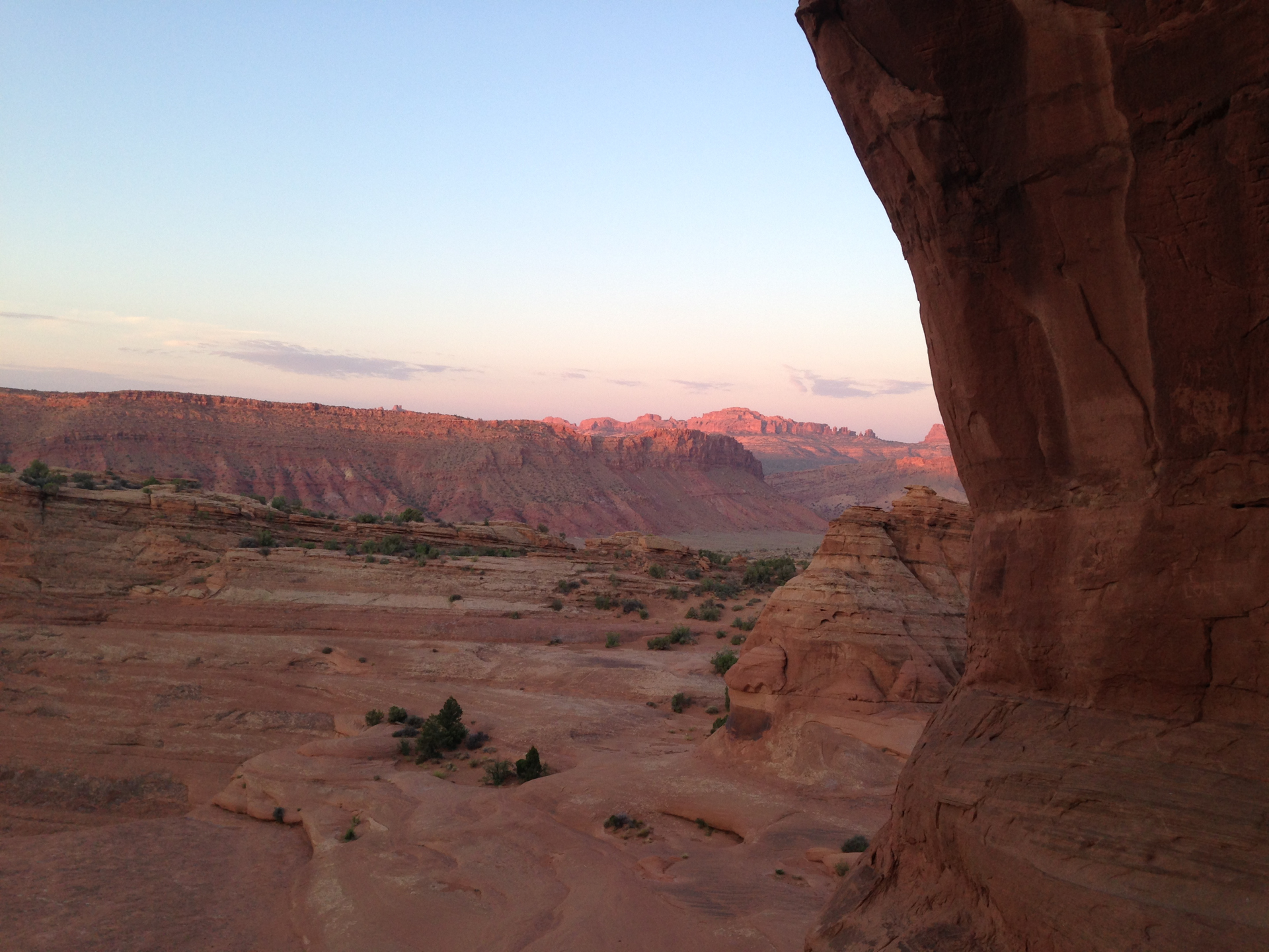
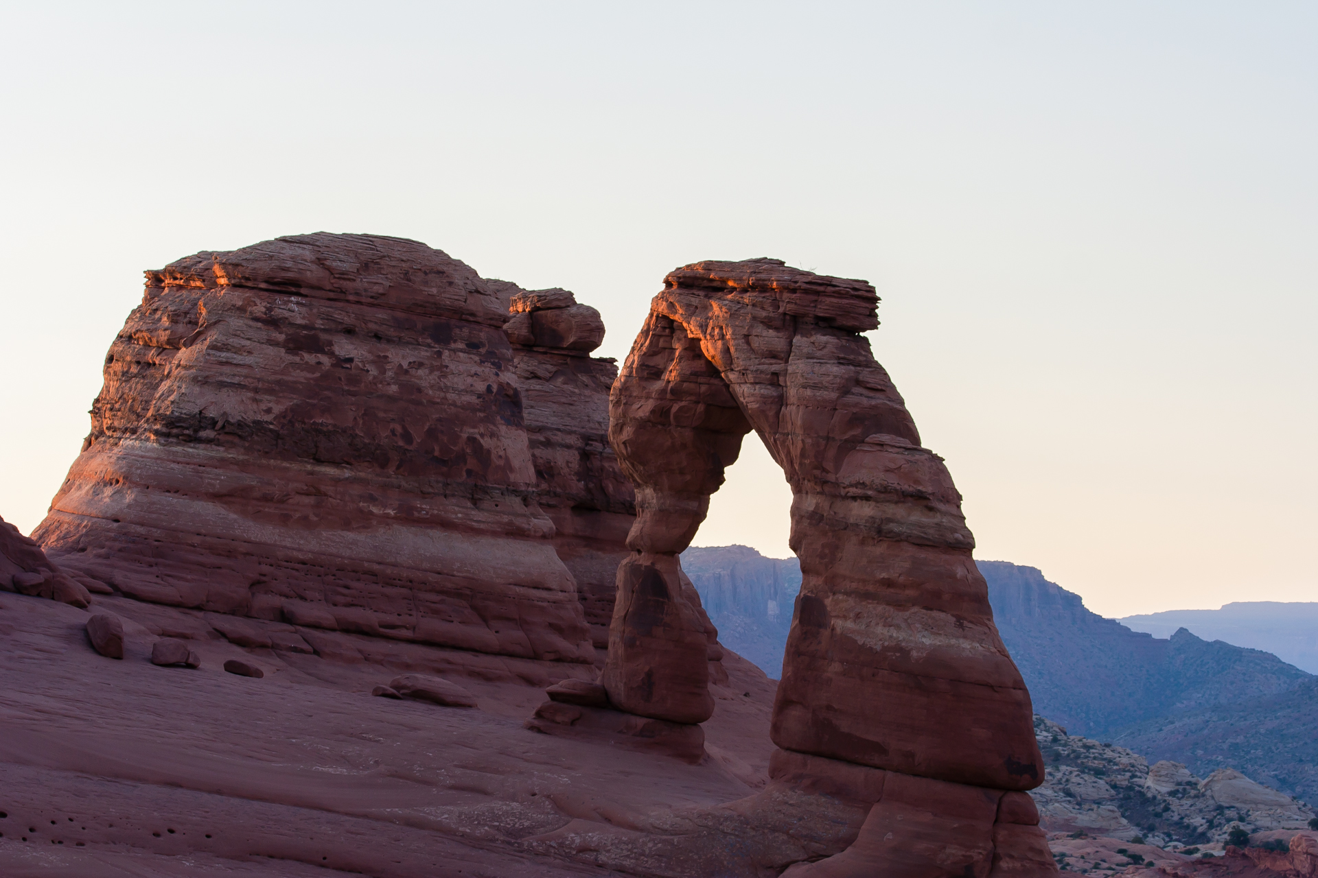
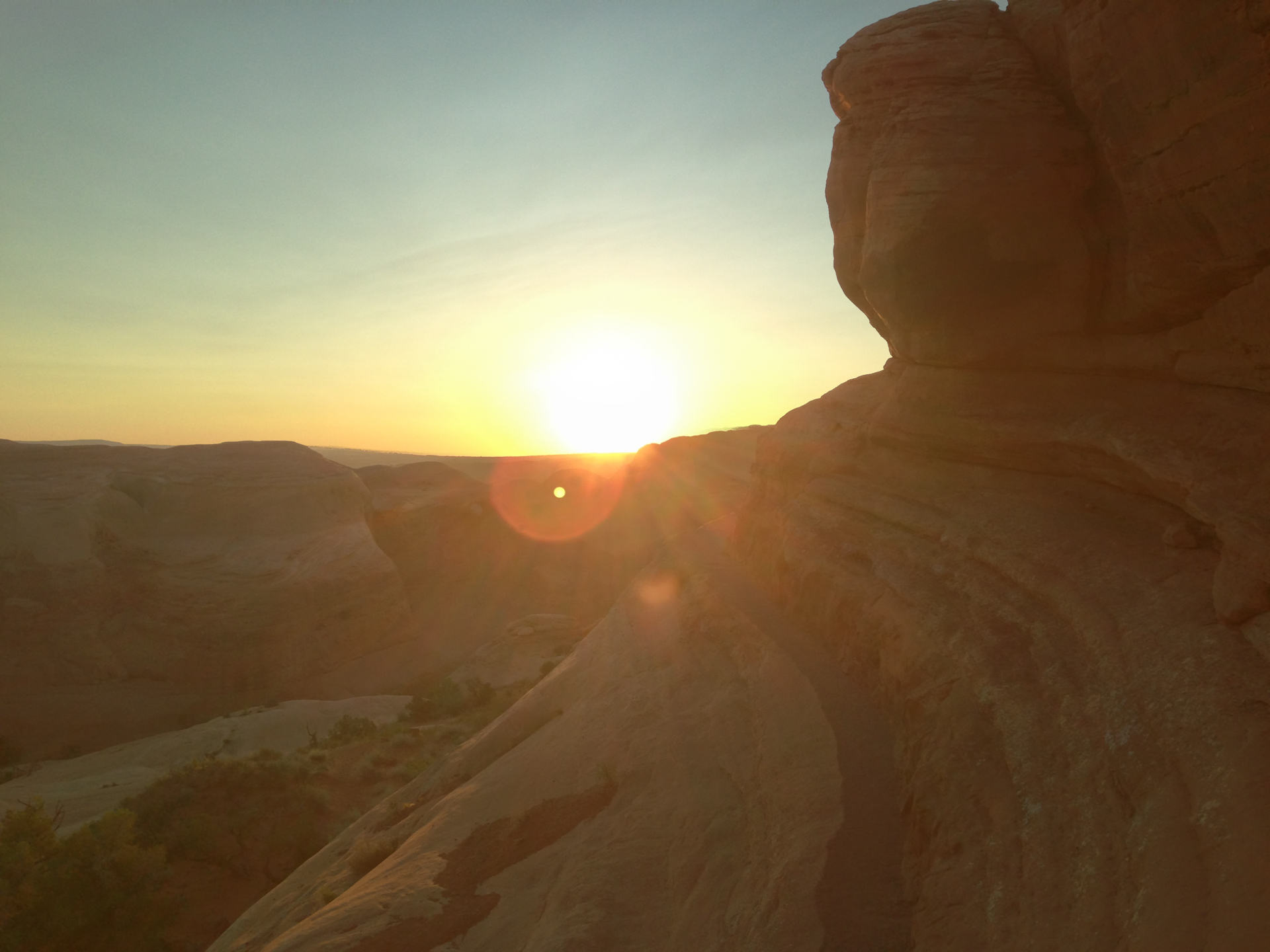
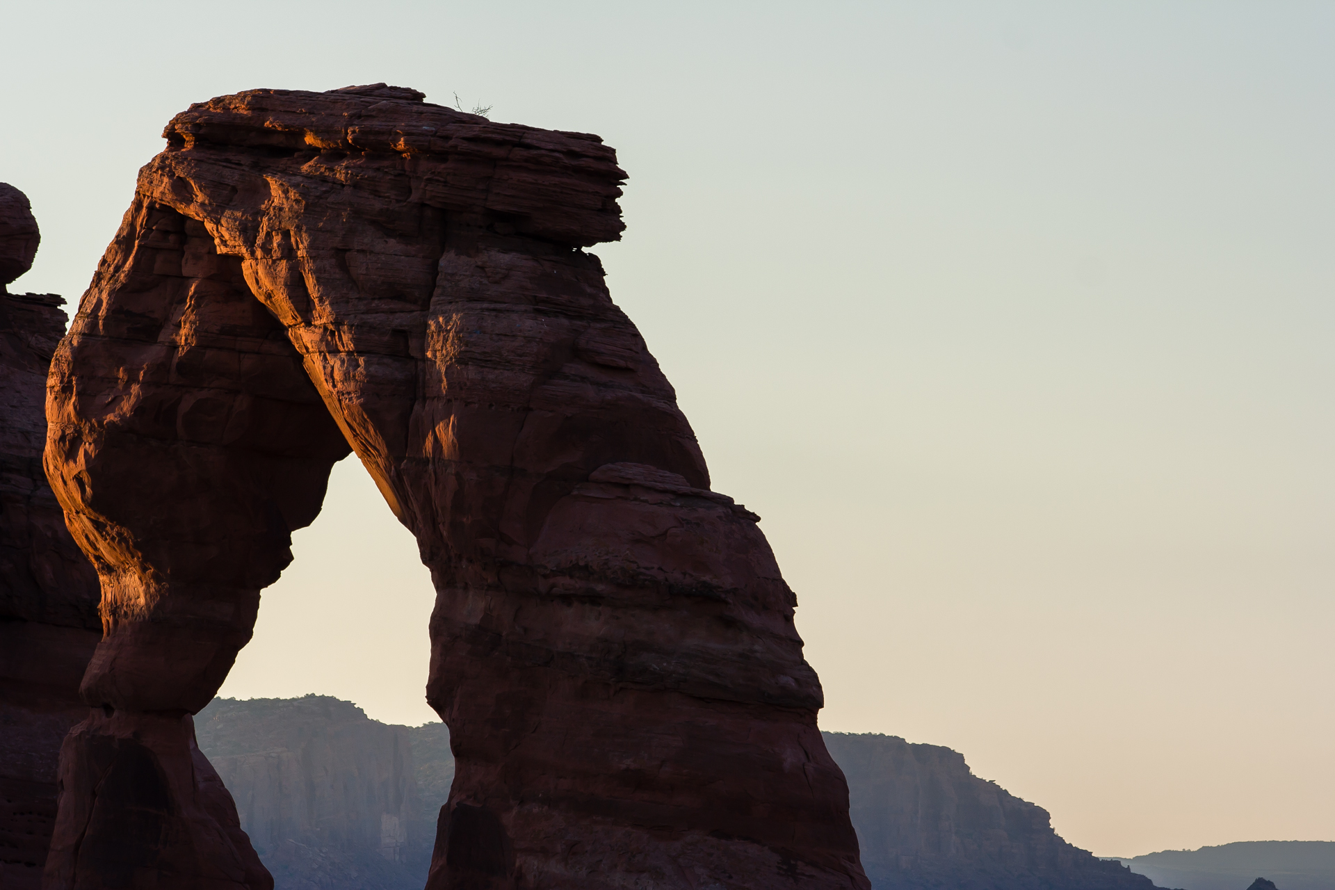
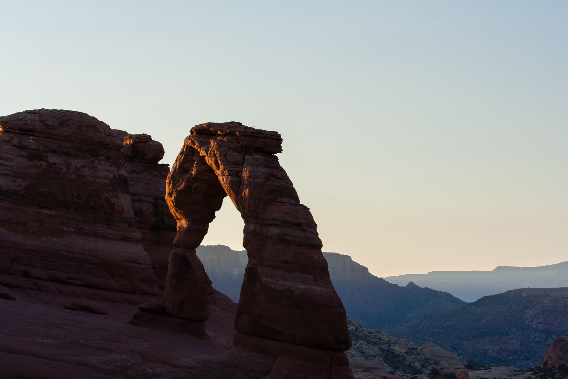
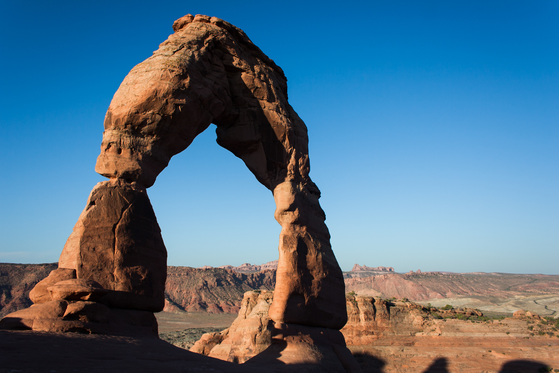
Finally, with sunset coming on, I hiked up to Delicate Arch. I waited until the sun had gone down to try to get some long exposures, but I was mostly unsuccessful, partly for lack of skill and partly because I didn't have all of the equipment I needed. Most importantly, I didn't have a remote shutter trigger, which meant I could only take long exposures on a timer, limiting me to a maximum exposure length of 30 seconds. I resolved to come back again to try to get some night time and sunrise shots after buying a remote shutter trigger.


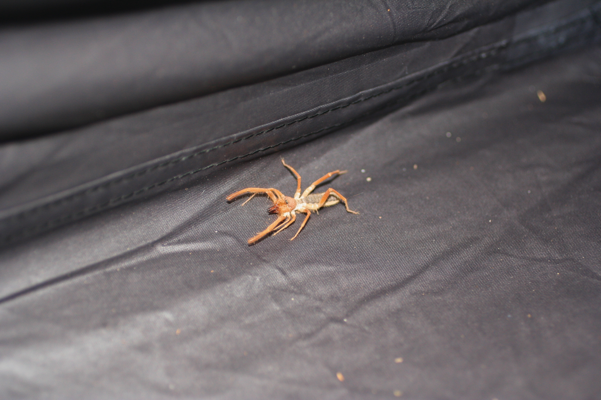
Back at my tent as I was getting ready for bed that evening, I left the door flap open for probably about a minute or two while I moved some of my gear from the car into the tent. Upon getting in the tent and turning on my flashlight, I discovered that that minute or two had been long enough for a solfugid to invite itself in. My dad is an entomologist so I'm not particularly frightened of insects or arachnids, though I'm certainly not as welcoming of them as he is, nor, obviously, as knowledgeable about them. The solfugid was pretty alarming because at the time I didn't actually know what it was; I only knew that it was very fast and had very large mandibles, and that Utah (in contrast to everywhere I've ever lived) does actually have venomous arthropods.
After a lot of swearing and awkward attempts to keep my eye on its rapid confused scurrying while blindly reaching for something that I could safely trap it in, I managed to scoop it up in a cooking pot and throw it outside. I then searched the Internet for something like "insect with 10 legs with 2 huge front legs" and found out what it was, and that they're relatively harmless. (When I talked to my dad about it later, he was quick to point out that solfugids are arachnids, not insects, and that the two front "legs" aren't actually legs at all. He also said that he was jealous of my encounter as he's never seen one in the wild.) I still wouldn't want to get bitten by those big mandibles, though.
Sunday was just as crushingly hot as Saturday had been (and, indeed, as the entire next week would be). To cool down during the hottest part of the day, I took a trip up the Colorado River with Moab Jett. I didn't find the scenery all that remarkable, but the trip was nevertheless a lot of fun and very refreshingly cool. Because it is a jet boat with no external propeller, by maintaining a high rate of speed the boat is able to skim over water only a few inches deep, and at various points on the tour the captain puts the boat into a spin, soaking everyone on board with refreshing river water. In retrospect, I could easily have brought my phone along in a couple ZipLoc bags for photos, but at the time I wasn't sure just how wet the tour would be; hence, there are no photos.
After the jet boat tour I decided to check out Dead Horse Point State Park. I should mention at this point that I had been using my car's built-in GPS to navigate throughout the trip. It has a couple nice features such as the ability to input multiple waypoints on the way to a destination, but other than that, it's pretty bad and is one of my few significant complaints about the car. It does a poor job of choosing optimal routes relative to software like Bing, Google or Apple Maps, and is abysmal at estimating how long a drive will take. And, as I discovered, it also has a pretty broad definition of what qualifies as a road.
Mapping a route from Moab to Dead Horse Point, I was presented with two options, and I chose the "alternate" route which I thought would be a more scenic drive. And indeed it was—but it also turned out to traverse Long Canyon Road, a somewhat steep and rocky 4x4 trail from the Colorado River basin up to the Dead Horse Point mesa. There are settings in the GPS to enable or disable routing through major highways and toll roads, so I'm surprised that there's no way to filter out dirt roads (and that such an option isn't turned on by default), but I wasn't actually bothered about it taking me on a 4x4 trail; I figured it would be another good chance to try out my Subaru AWD.
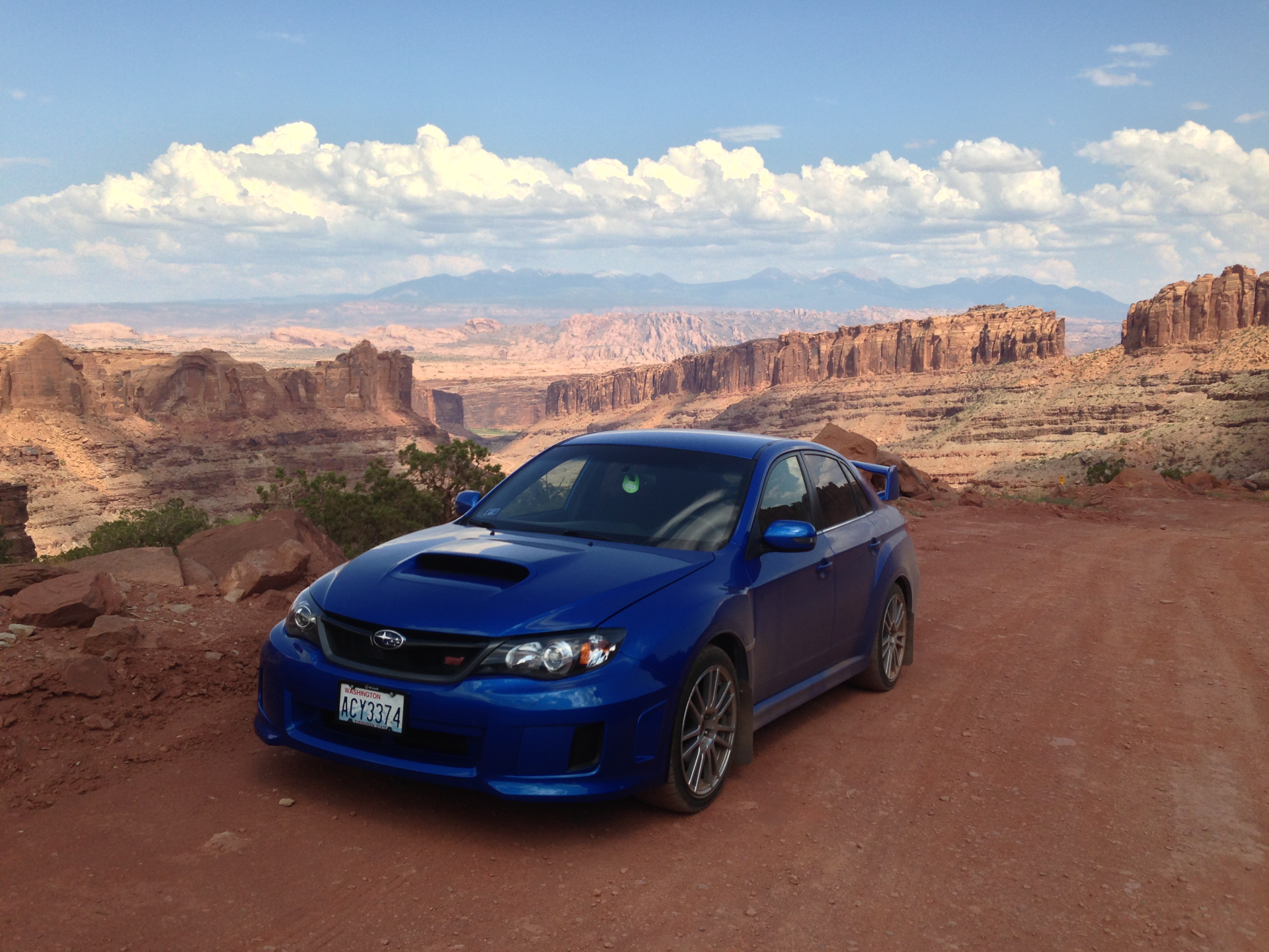
The clearance of my car is too low for serious offroading, and my "performance" street tires don't have the grip necessary for steep sandy slopes, but nevertheless my car performed admirably. I saw a few trucks and SUVs on the trail, but I didn't encounter any other cars. I drove up to just beyond the giant fallen rock before Pucker Pass, at which point the road was fairly steep and covered in extremely soft sand which afforded my tires almost no traction. I think I probably could have made it through and continued to the end of the trail, but as I was alone, dozens of miles from the nearest city, and with no cellular reception, I didn't want to push my luck, so I turned around and went back down the canyon and back to the interstate. (I feel like I'm letting other Subaru owners down by admitting that, but better safe than sorry!) The road probably doesn't look that bad in my photos, and it wouldn't be for a vehicle with proper tires and more clearance, but keep in mind that the places I stopped for pictures were the least steep and bumpy parts.
As an aside, on my way back, right by the intersection of Long Canyon Road and the highway, I saw a large matte black Ford truck with a huge stabilized camera rig on the back, as well as a Mustang with fake bullet holes and a missing taillight on a flatbed tow truck. Clearly filming for some movie was going on in the area. Fast & The Furious 7? Transformers 4? Who knows.
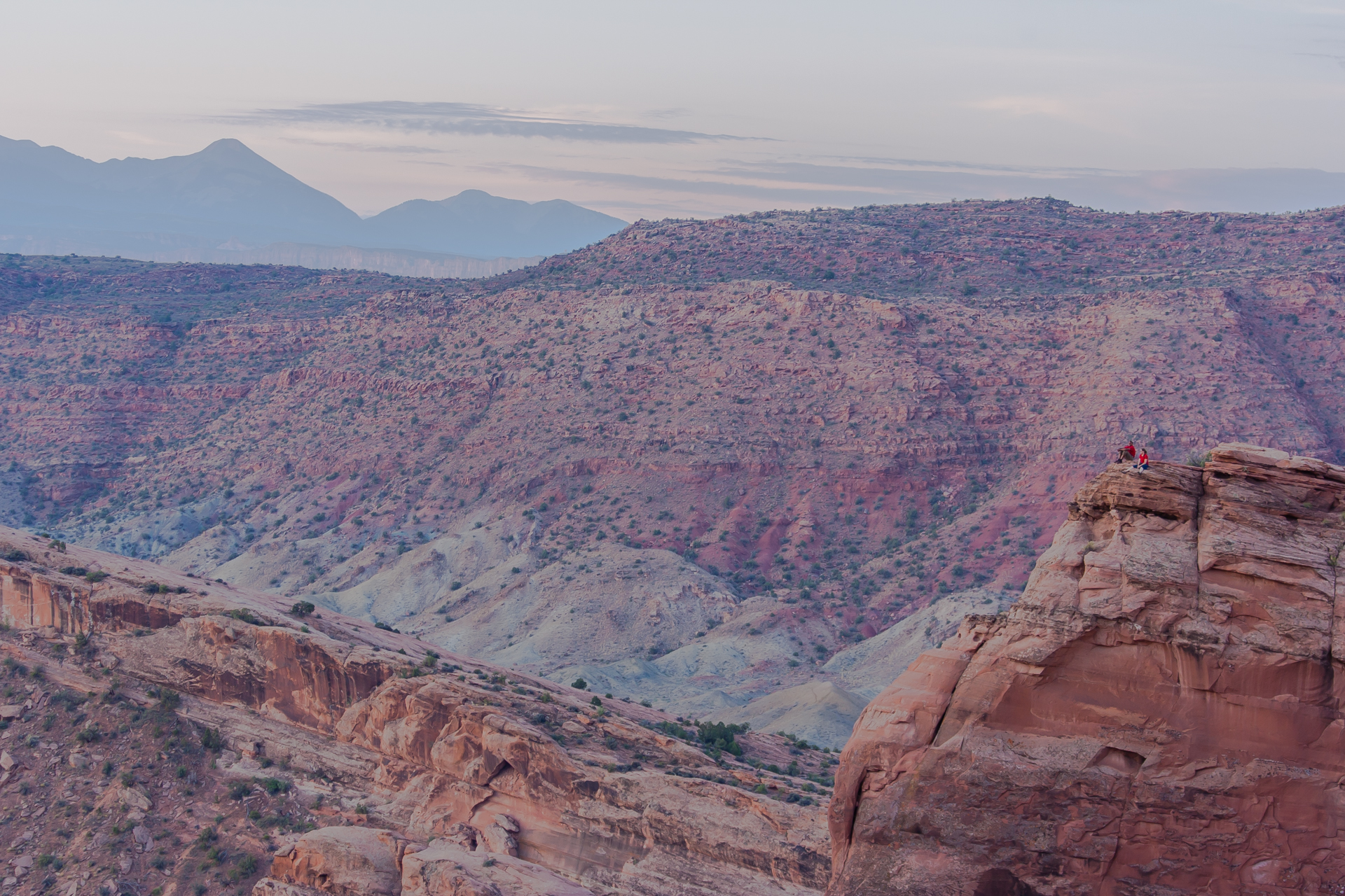
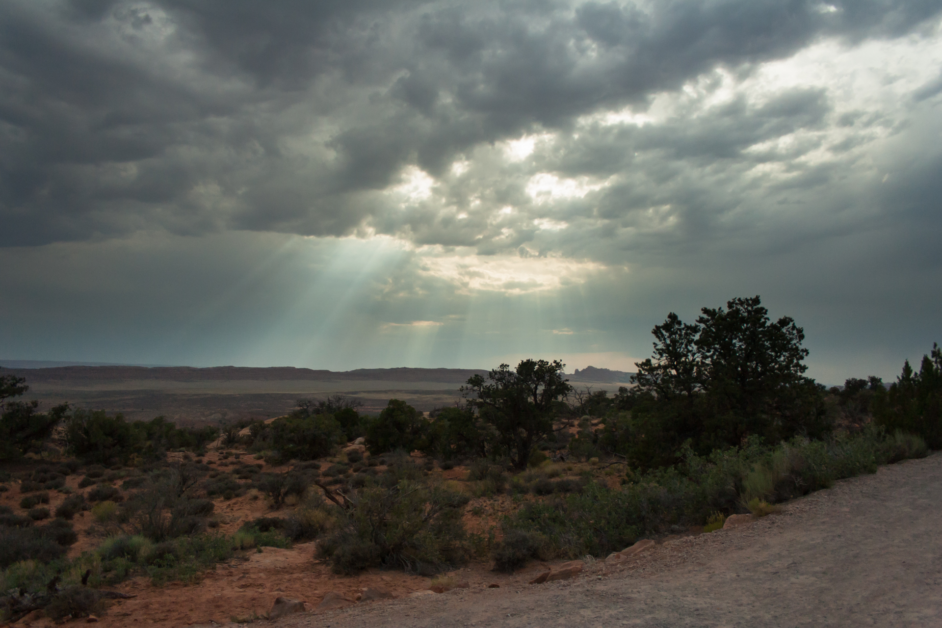
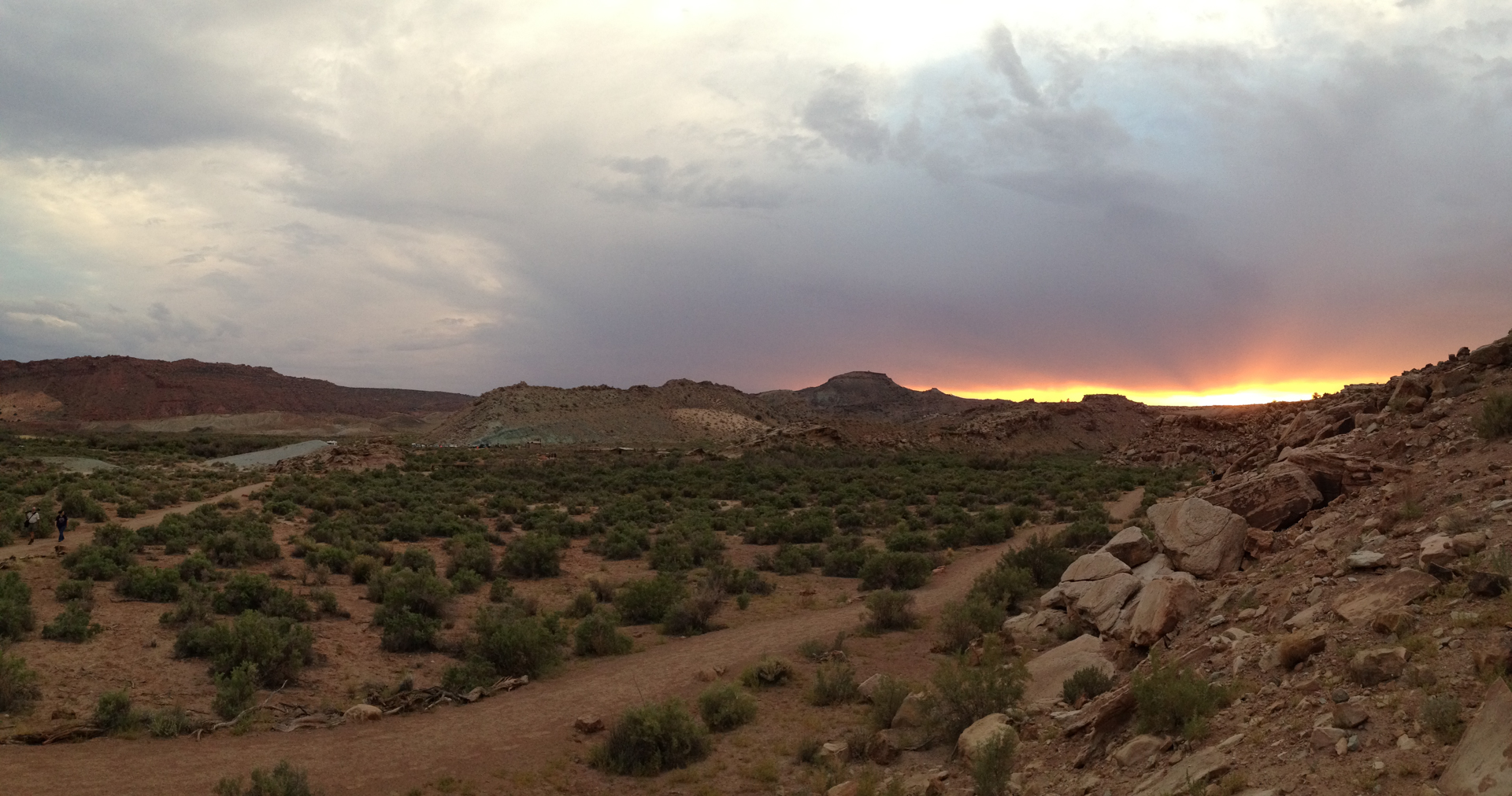
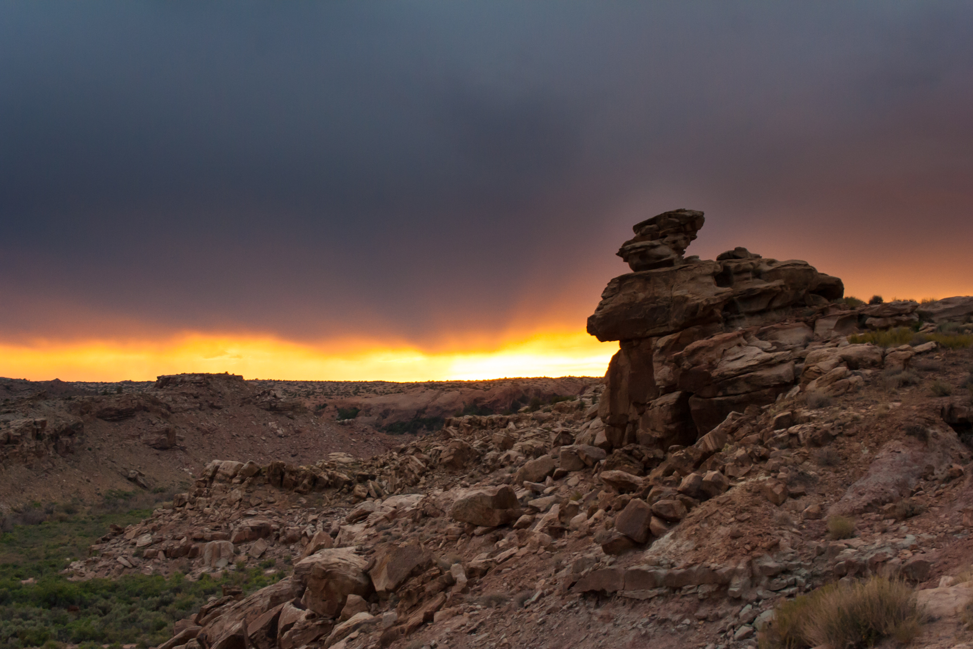
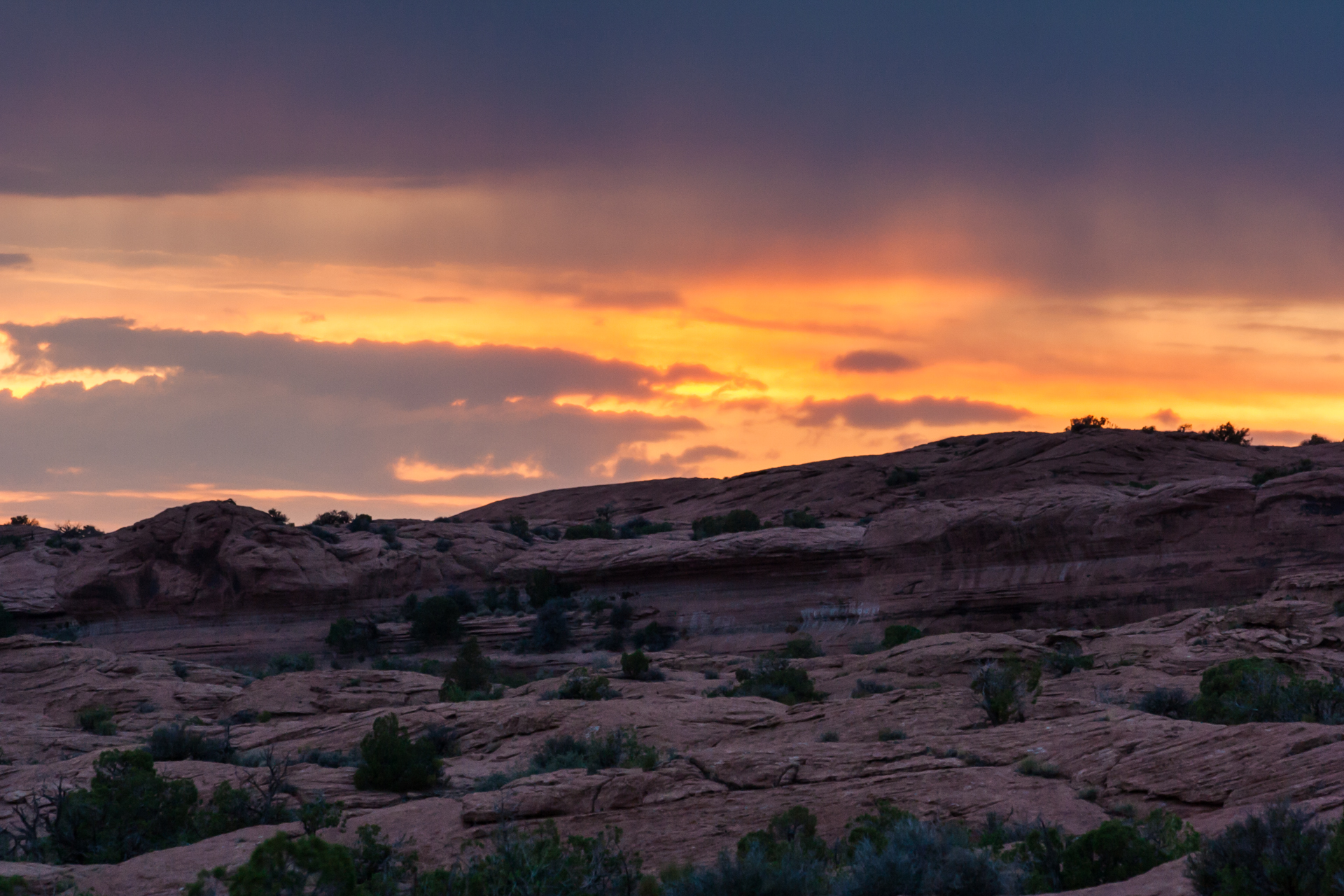
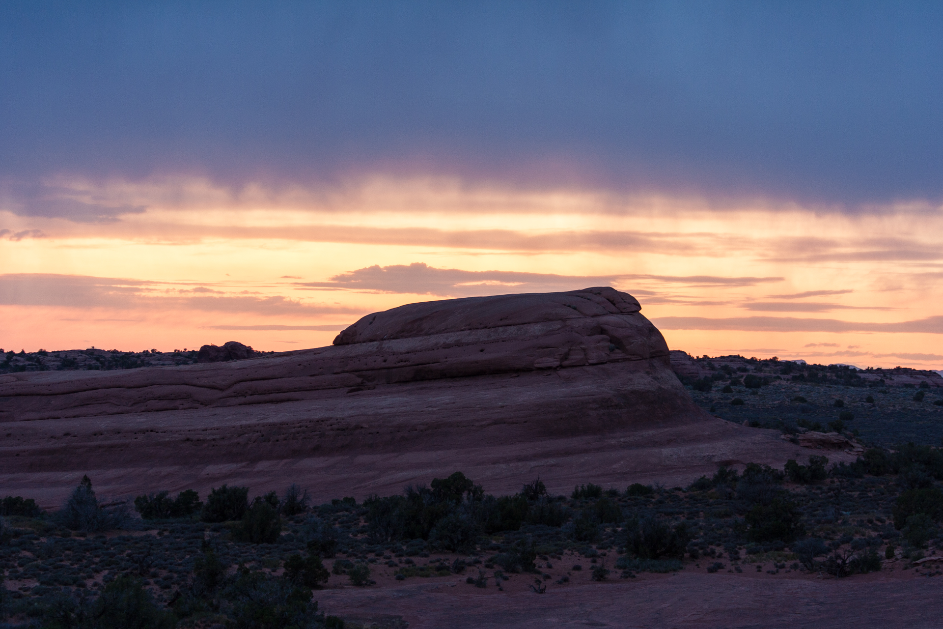
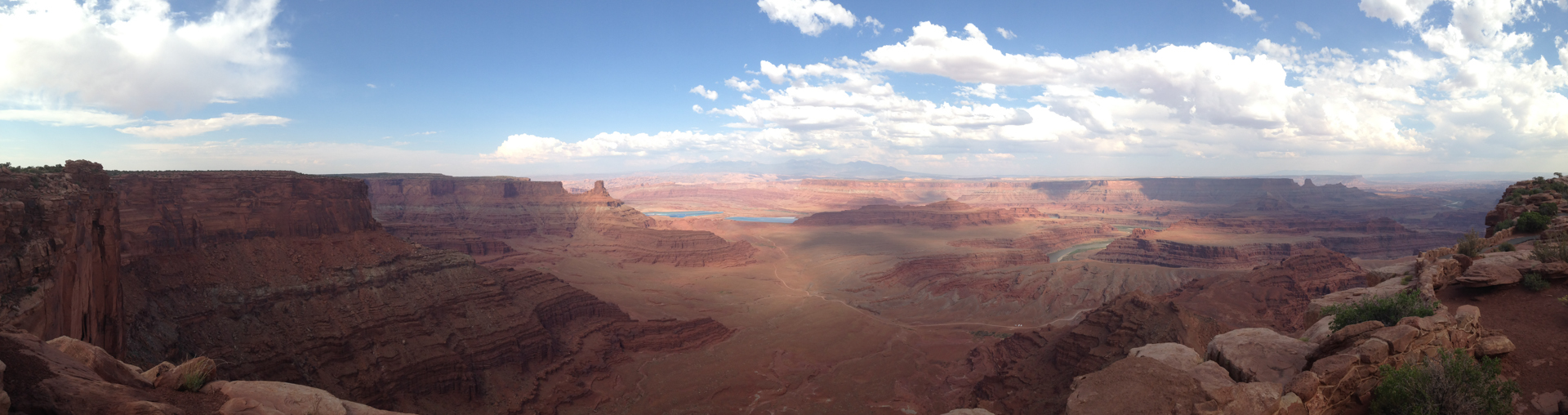
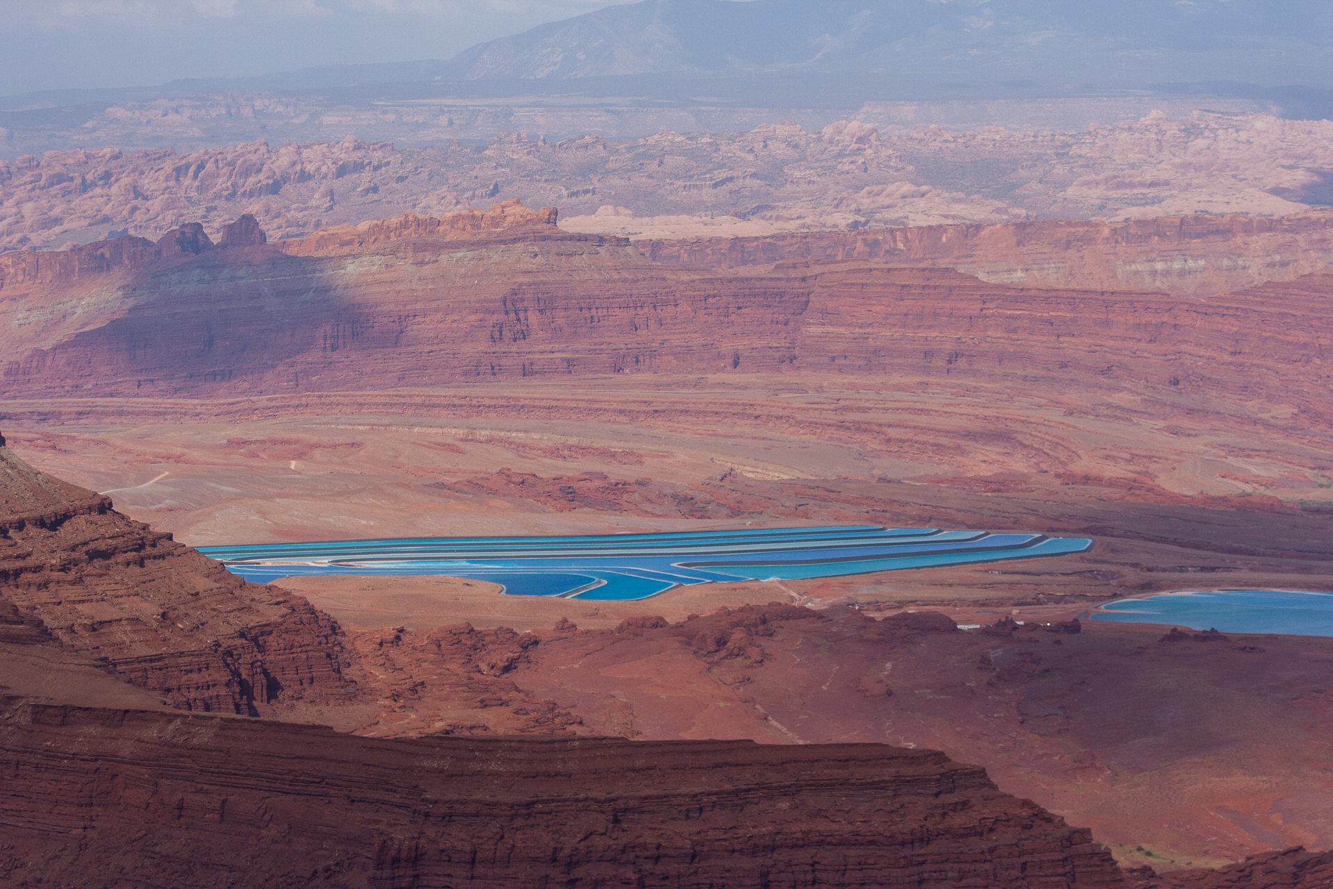
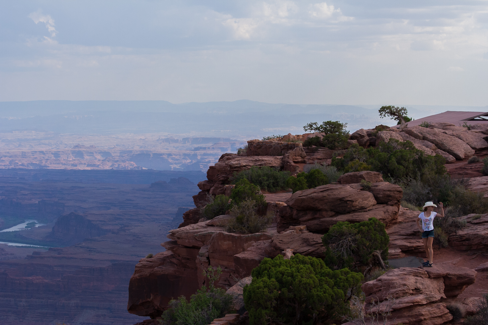
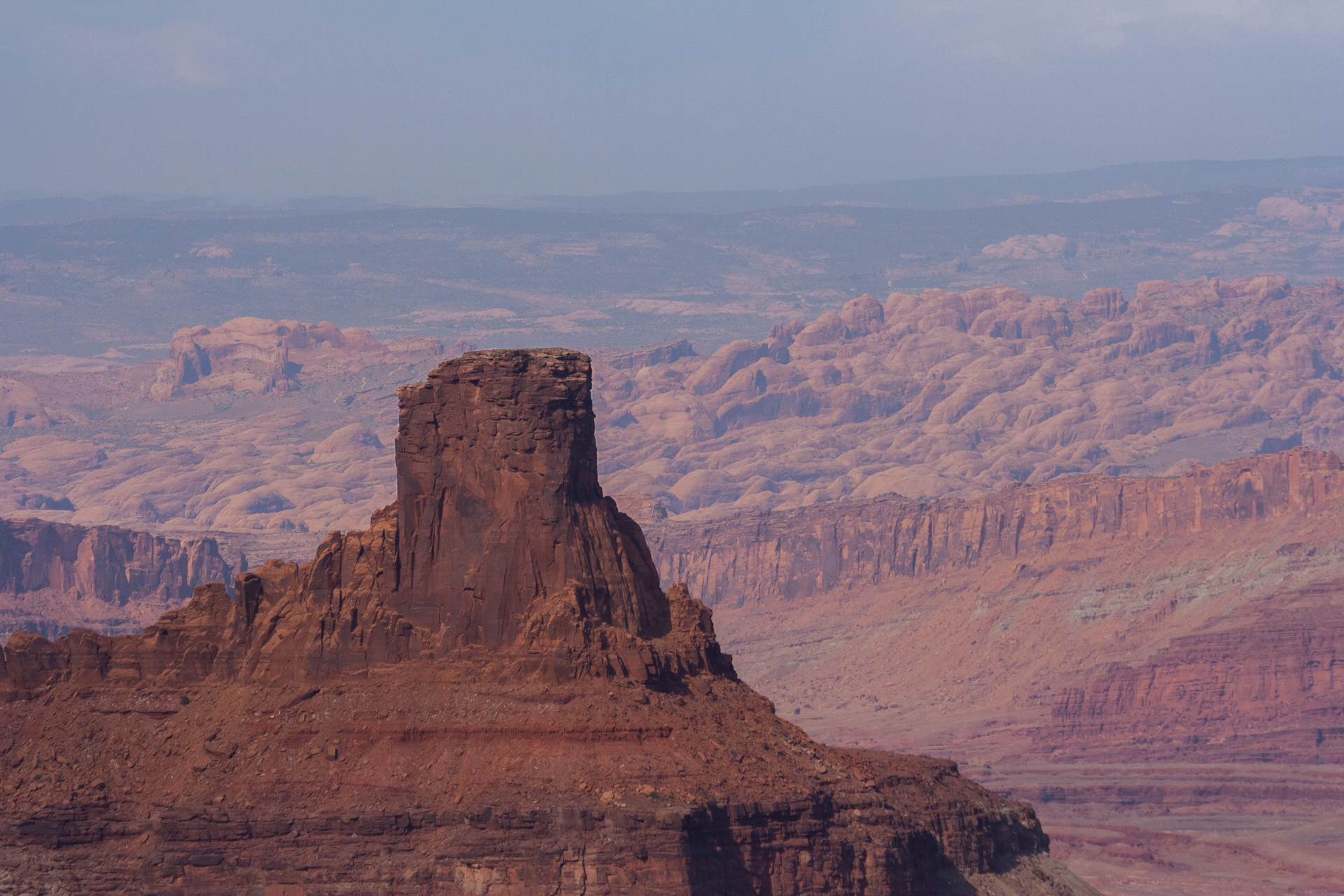
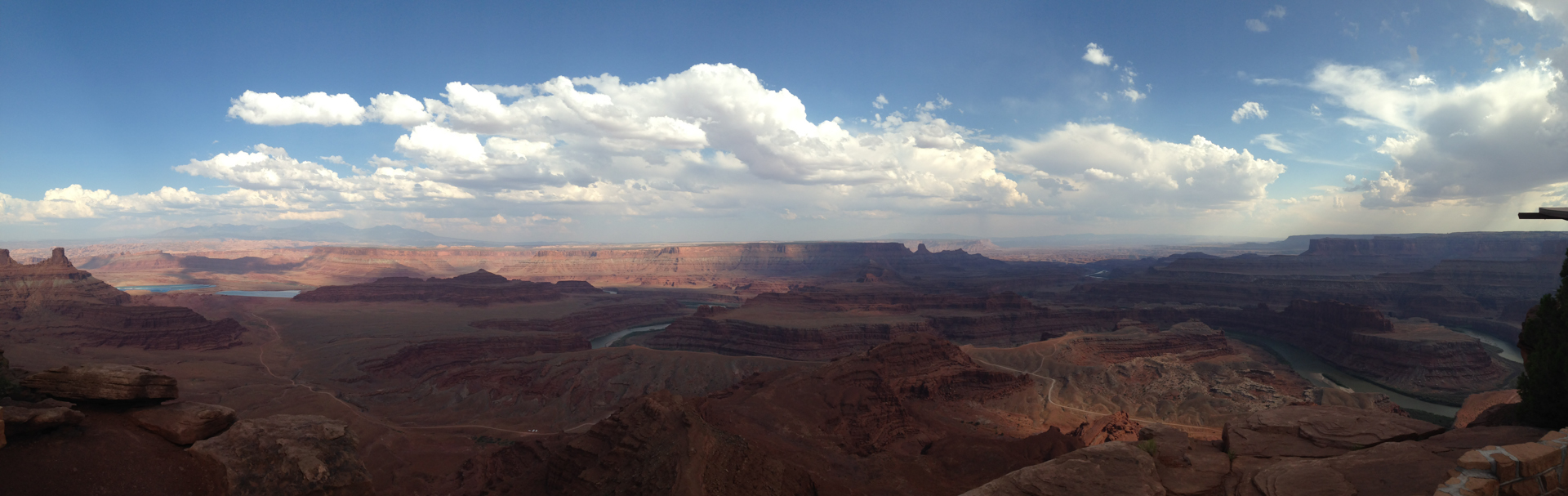
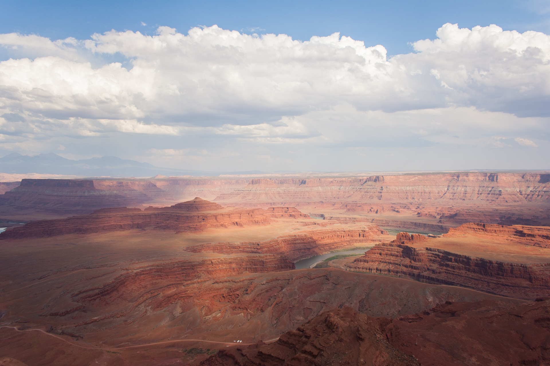
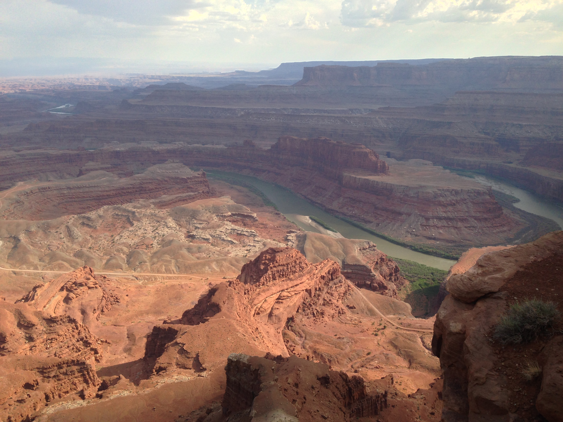
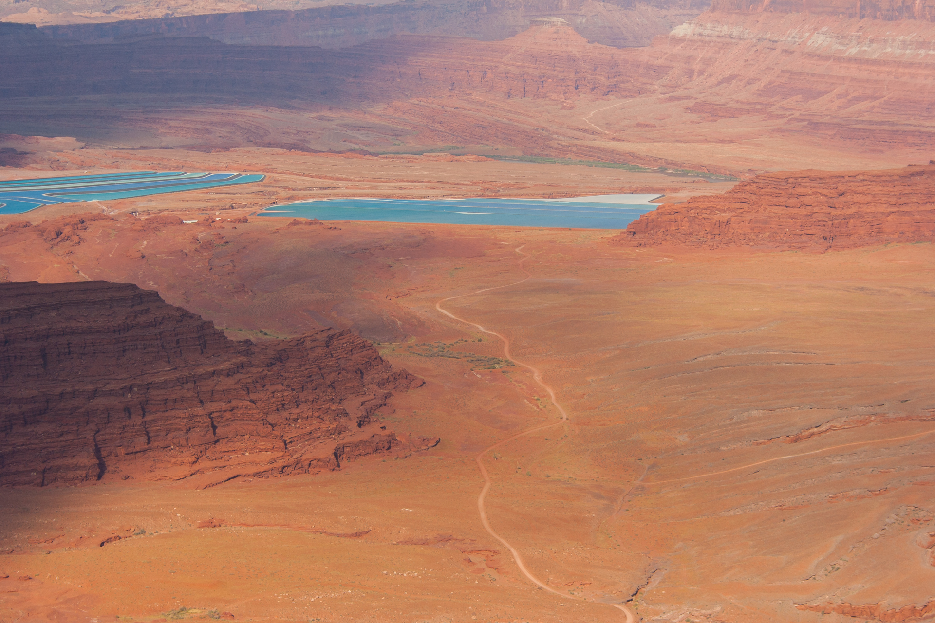
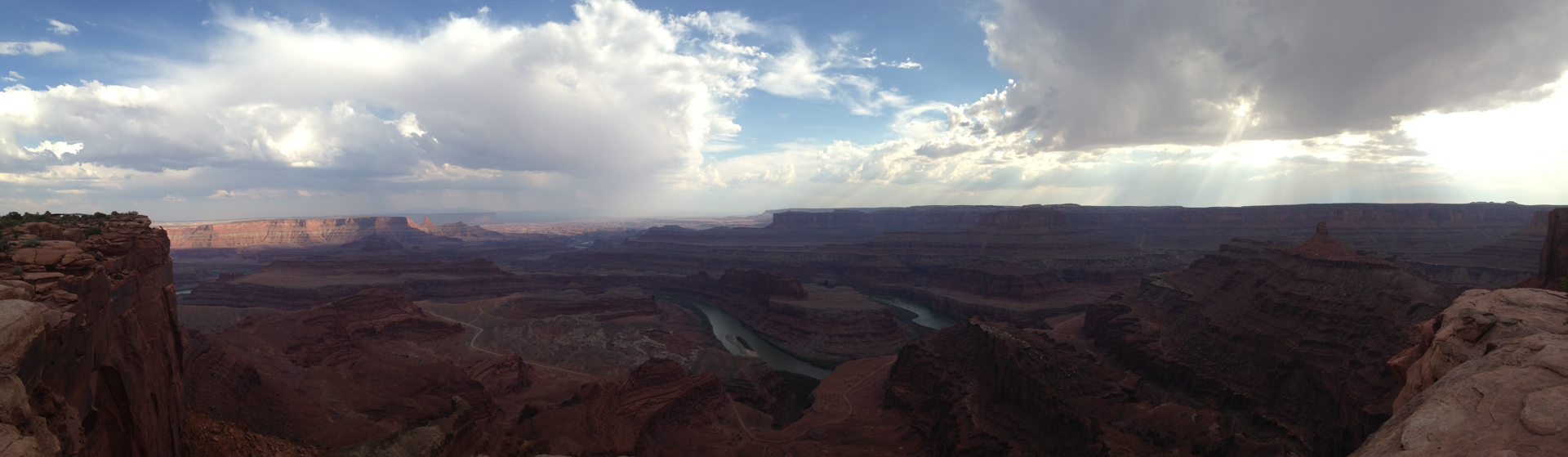
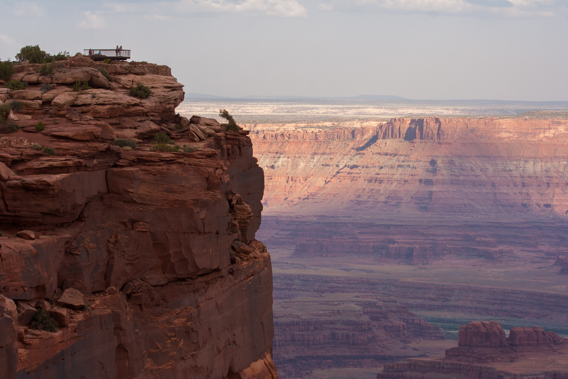
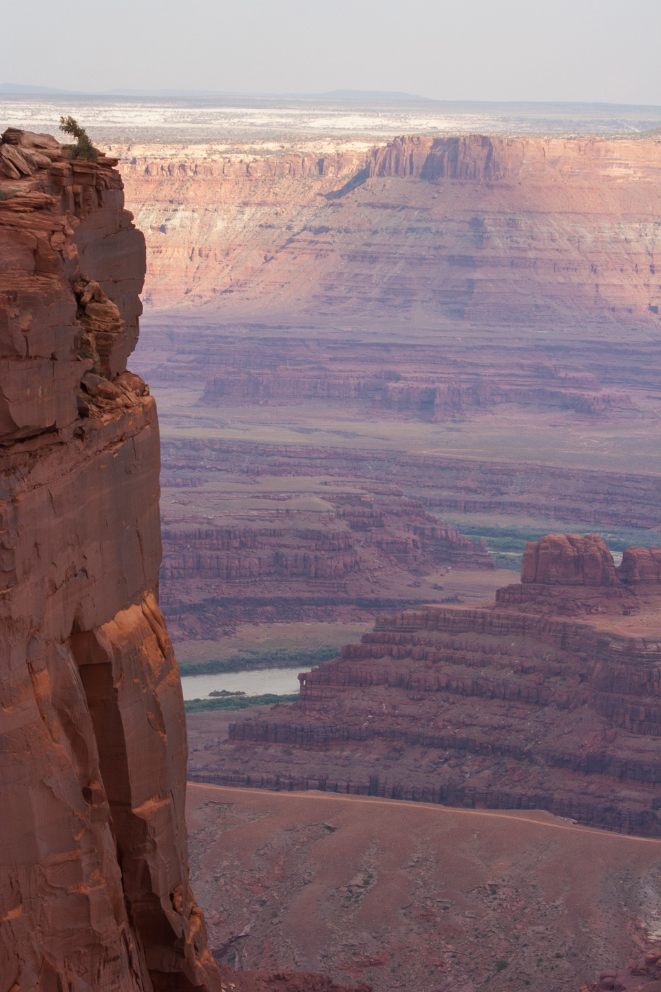
Finally, more than an hour later than I had expected to, I arrived at Dead Horse Point. The view of the Colorado River from Dead Horse Point is well worth the drive, but once you've seen it, there's not much else to do in the state park, so I didn't spend too long there. As I was leaving, a beautiful but ephemeral rainbow presented itself to the east, punctuated by flashes of lightning from a storm that had rolled in to the east of Moab. Sadly I couldn't get any decent pictures of this.


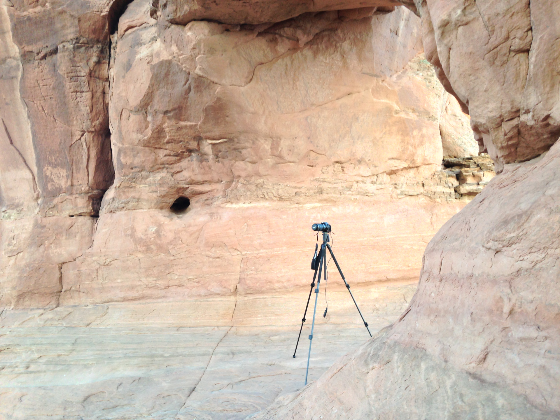
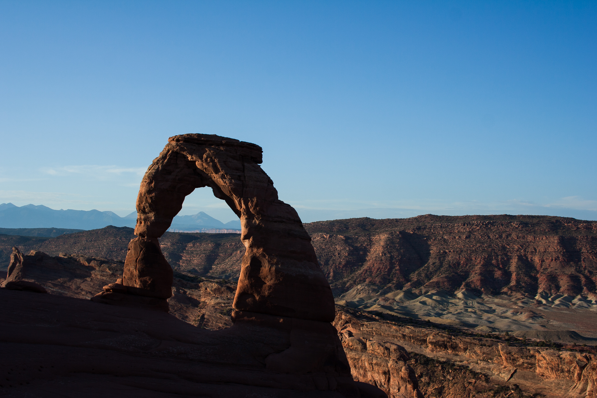
Earlier in the day I had picked up a remote shutter trigger for my camera from a small photography store in Moab, so with my resolution to return to Delicate Arch for sunrise in mind, I went to bed as early as the heat would allow. I woke up around 3:30am on Monday and drove back out to Arches. Equipped with a flashlight, my camera and tripod, and my new shutter trigger, I hiked up to the arch in complete darkness and waited for the sun to rise.
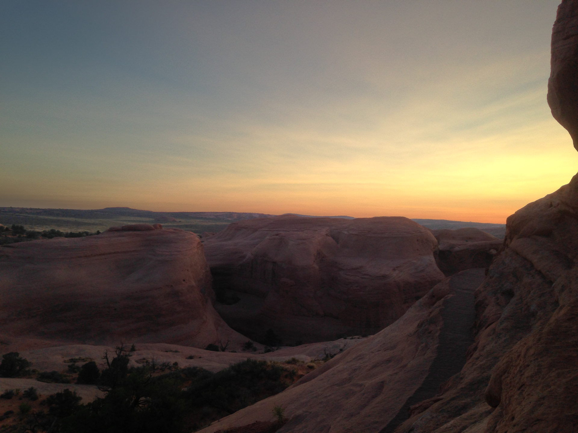
I actually arrived much earlier than I needed to for sunrise, because I had been hoping to get some photos of the arch with stars behind it. Unfortunately this is where I discovered another piece of equipment my photography kit is lacking. Obviously auto-focus doesn't work in low light, let alone complete darkness, but I discovered that it's also nearly impossible to correctly manually focus on an object for a long exposure when you can't actually see the object. I thought I might be able to accomplish this by trial and error, but doing so turned out to be time consuming and unreliable.
I later did some research and discovered that one of the preferred solutions to this problem is to carry a laser pointer with one's photographic equipment. By shining the laser on the object you want to focus on, you'll have a small, bright point, and you'll know that your image is in focus when that point is readily visible through the viewfinder. While I'm on the subject of photography, I also learned that on lenses with optical image stabilization, the stabilization must be turned off for long exposures, or fine movements in the stabilization mechanism will result in a blurry image.
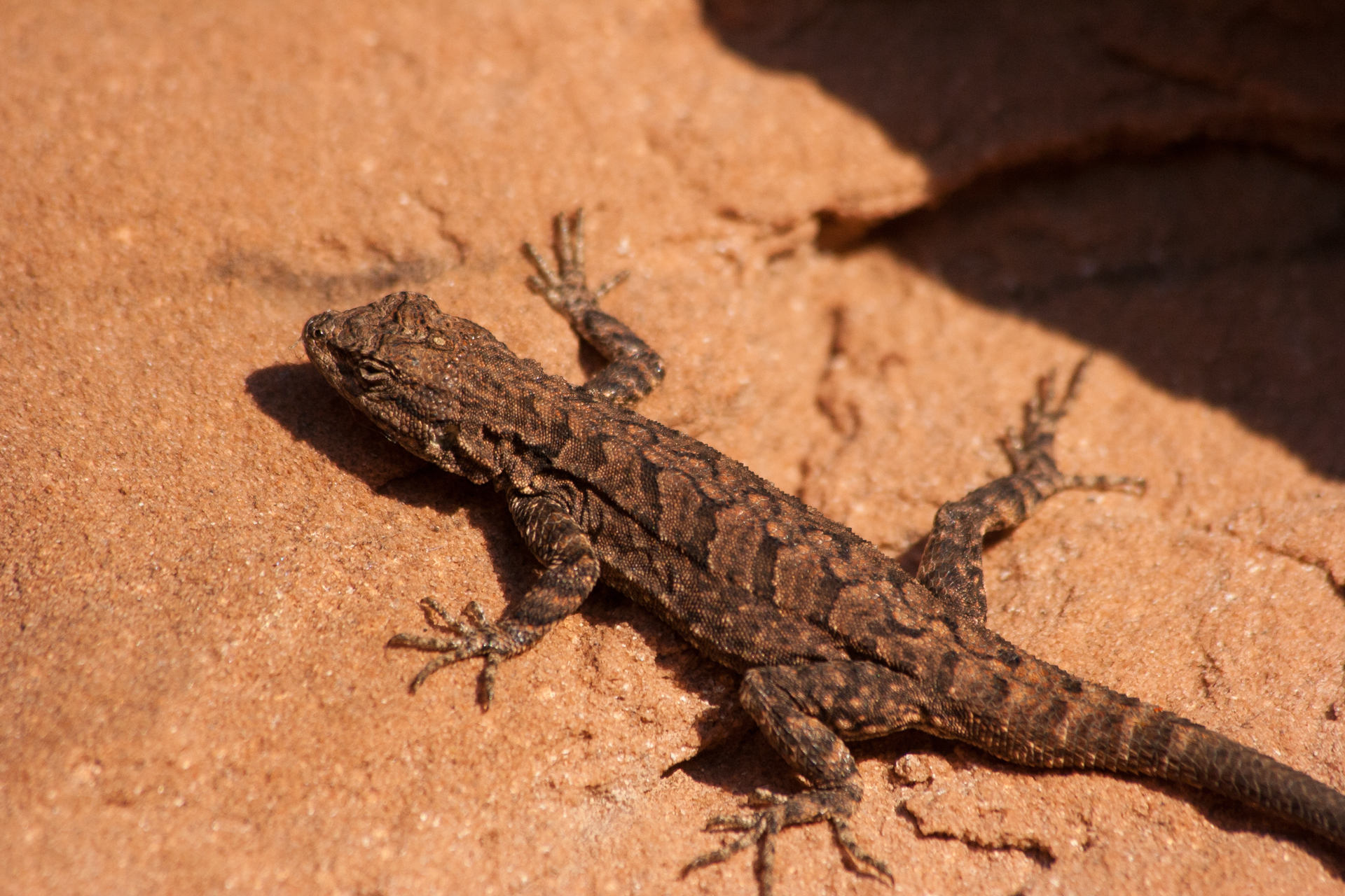
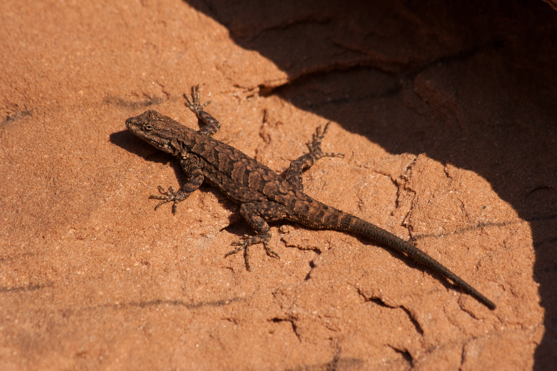
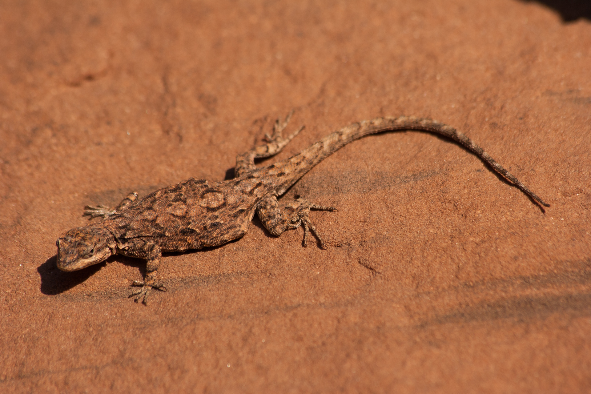
Anyway, once the sun came up I was able to get some reasonably nice photos, although I was somewhat compositionally limited by the swarm of people who had arrived around 6am. Now that I was able to see where I was going, I took the opportunity to explore the natural stone amphitheatre below the arch, as well as the jutting outcropping of rock to the south. Here I found a number of lizards warming themselves in the morning sun.
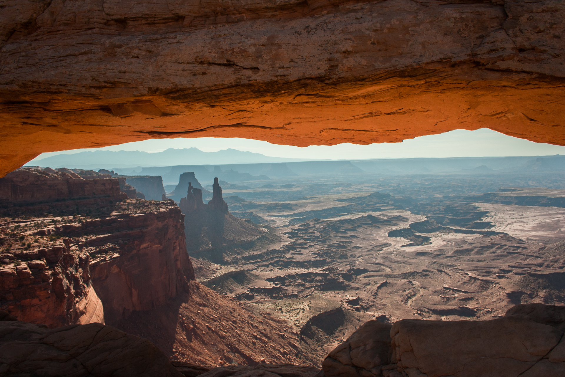
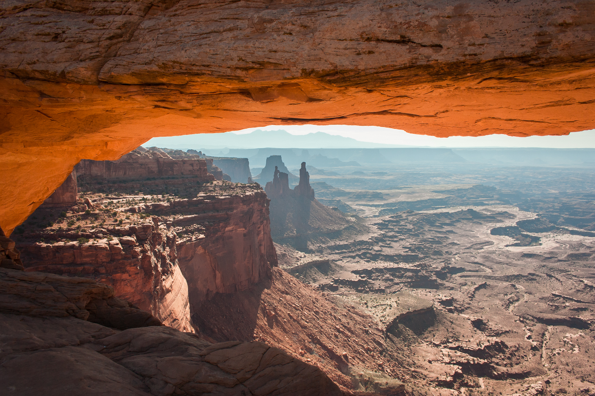
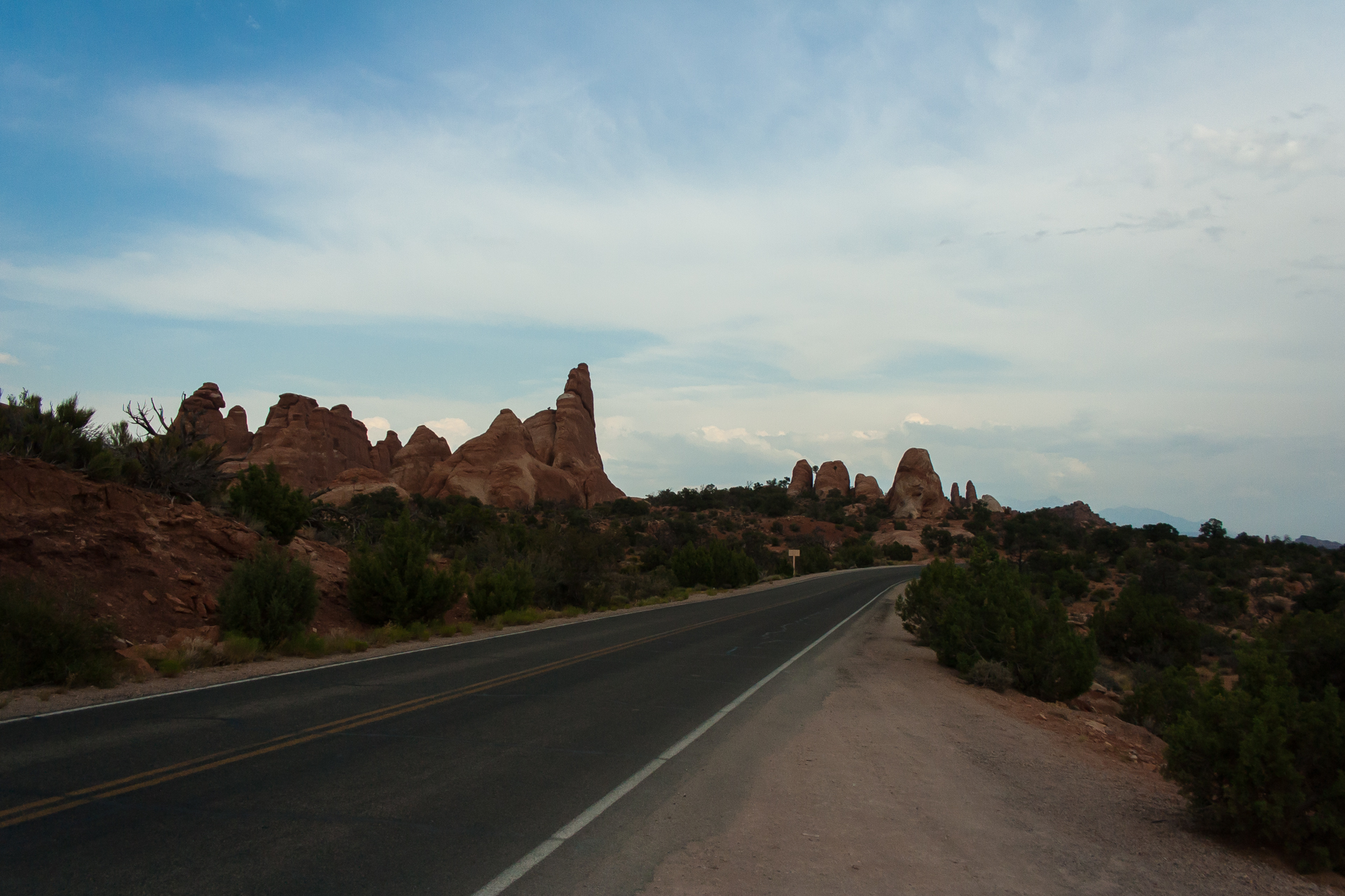
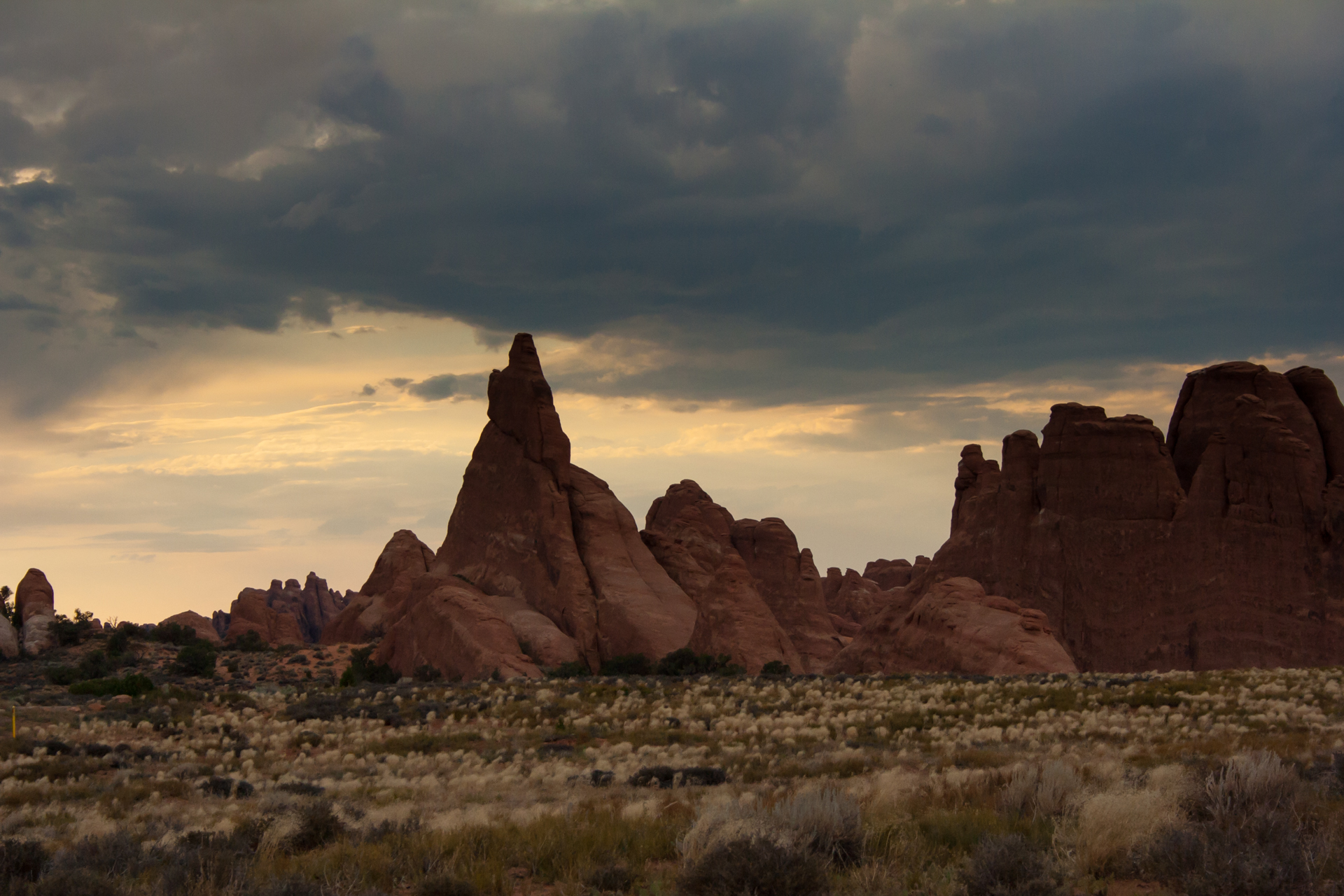
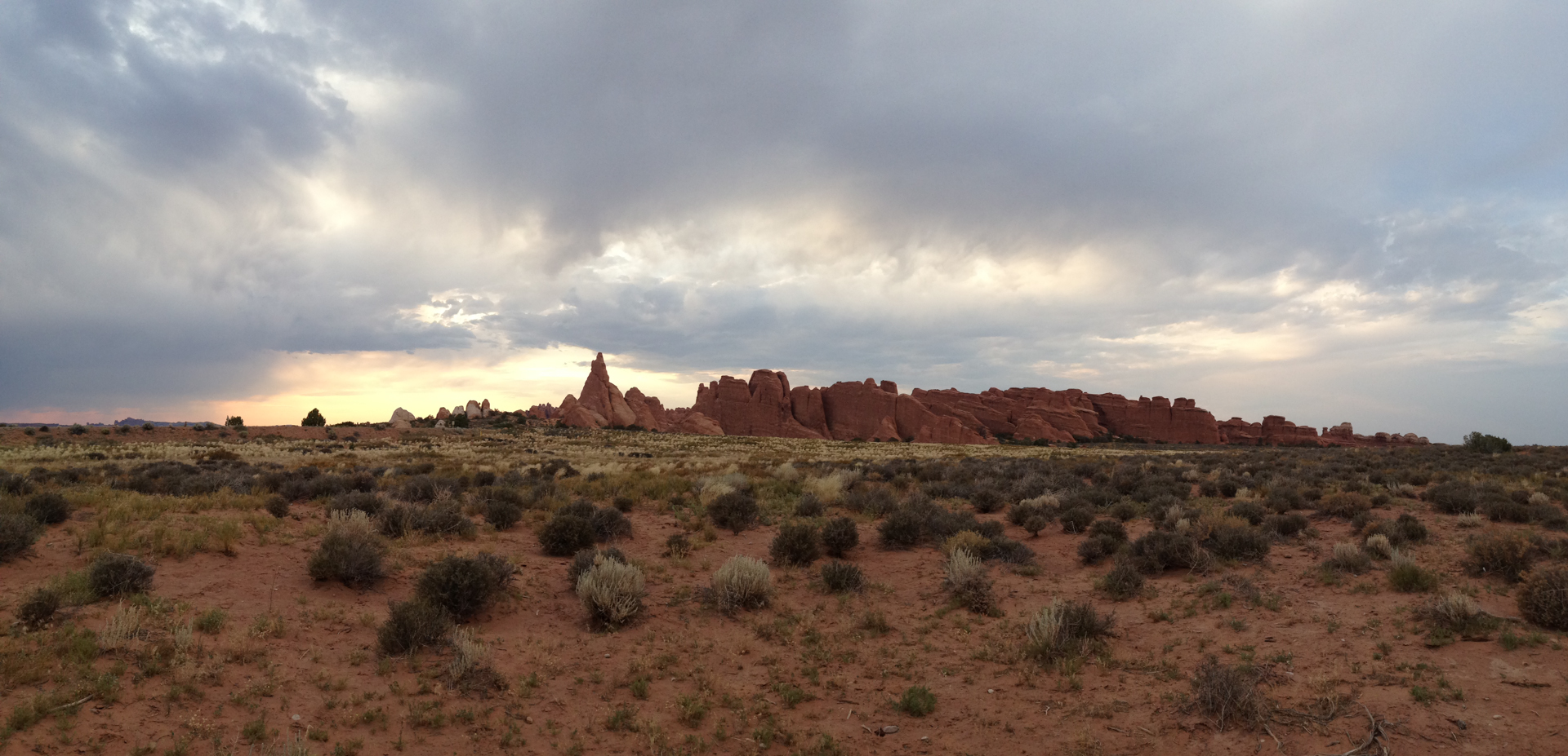
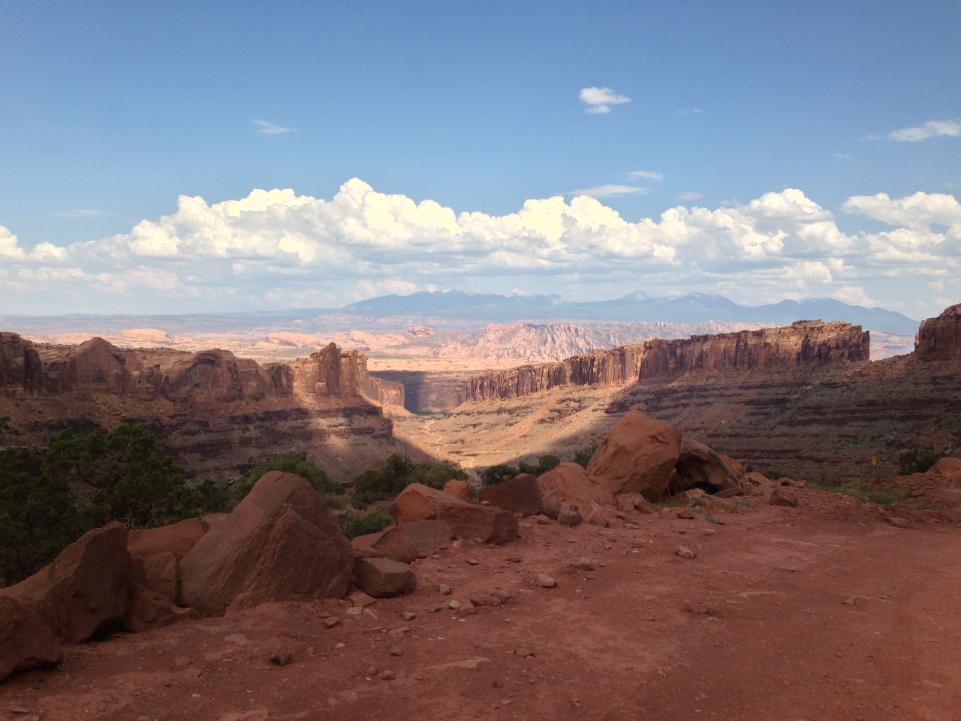
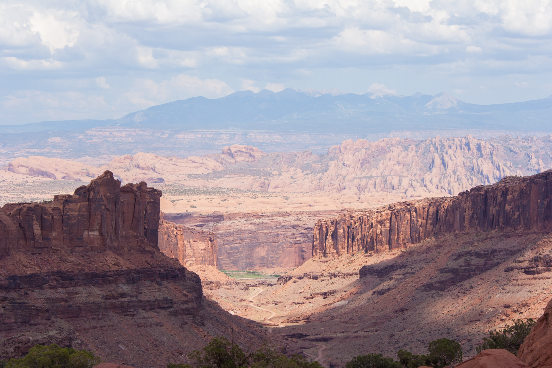
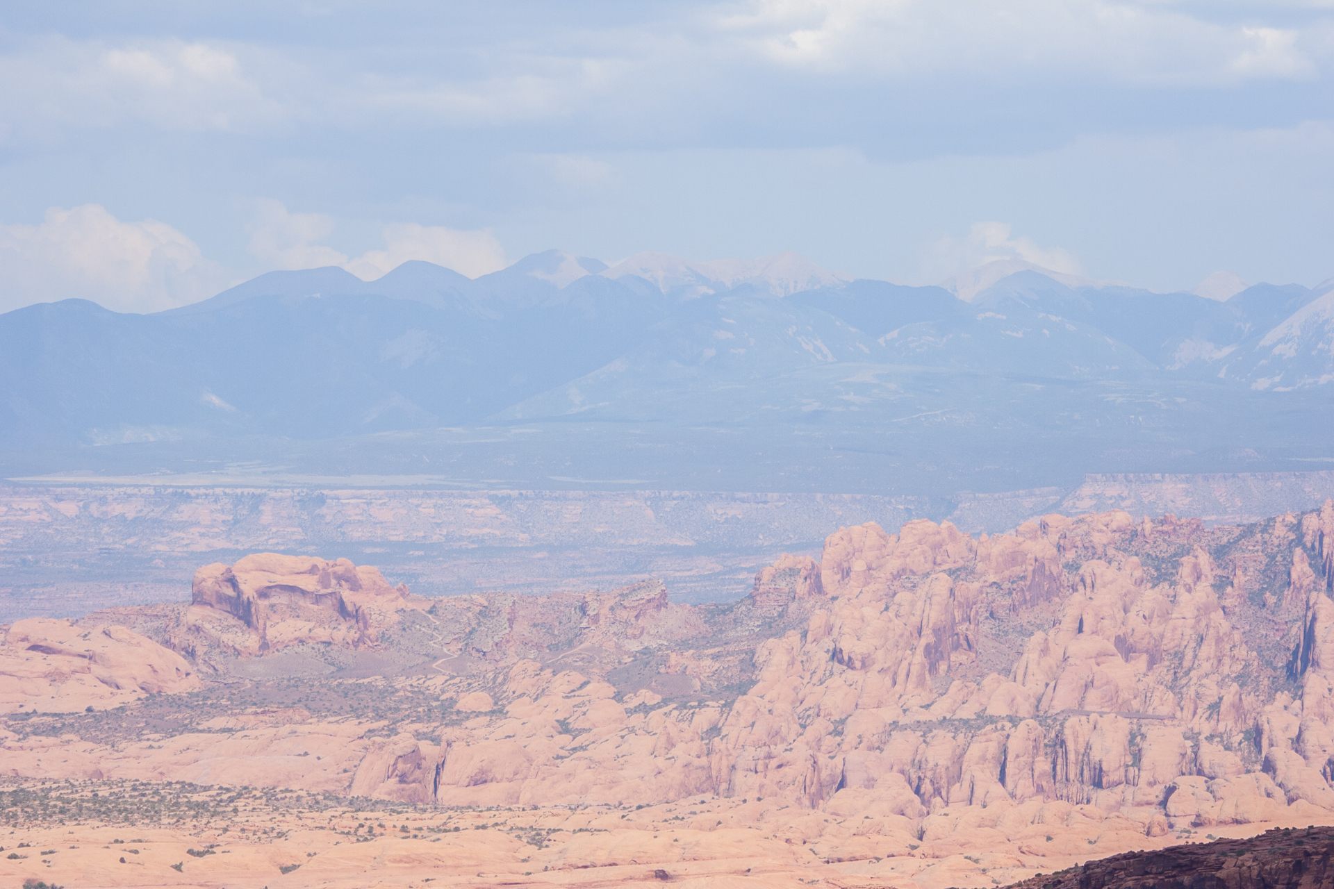
Returning from Arches, I made a brief stop in Canyonlands National Park to see the Mesa Arch. Canyonlands is a very big park, which makes it quite time consuming to explore. I was eager to move on to Bryce Canyon and Zion, so after seeing the Mesa Arch (which is very impressive and well worth going to Canyonlands for), I decided to start driving to Panguitch, where I'd check out Bryce Canyon and spend the night. I'll save the rest for part II, as Bryce Canyon and Zion National Parks were even more spectacular than Arches and Canyonlands, and are more than deserving of their own post.